Newberry Springs in San Bernardino County, California — The American West (Pacific Coastal)
Camp Cady
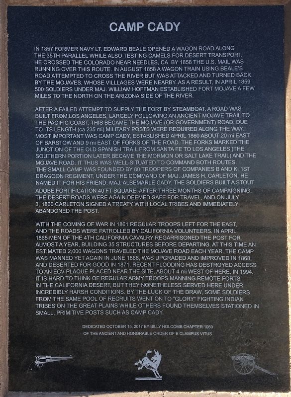
In 1857 former Navy Lt. Edward Beale opened a wagon road along the 35th parallel while also testing camels for desert transport. He crossed the Colorado near Needles, CA. By 1858 the U.S. mail was running over this route. In August 1858 a wagon train using Beale's road attempted to cross the river but was attacked and turned back by the Mojaves, whose villages were nearby. As a result, in April 1859 500 soldiers under Maj. William Hoffman established Fort Mojave a few miles to the north on the Arizona side of the river.
After a failed attempt to supply the fort by steamboat, a road was built from Los Angeles, largely following an ancient Mojave trail to the Pacific coast. This became the Mojave (or Government) Road. Due to its length (ca 235 mi) military posts were required along the way. Most important was Camp Cady, established April 1860 about 20 mi east of Barstow and 9 mi east of Forks of the Road. The forks marked the junction of the Old Spanish Trail from Santa Fe to Los Angeles (the southern portion later became the Mormon or Salt Lake Trail) and the Mojave Road. It thus was well-situated to command both routes. The small camp was founded by 80 troopers of Companies B and K, 1st Dragoon Regiment, under the command of Maj. James H. Carleton. He named it for his friend, Maj. Albemarle Cady. The soldiers built a stout adobe fortification 40 ft square. After three months of campaigning, the desert roads were again deemed safe for travel, and on July 3, 1860 Carleton signed a treaty with local tribes and immediately abandoned the post.
With the coming of war in 1861 regular troops left for the east, and the roads were patrolled by California volunteers. In April 1865 men of the 4th California Cavalry re-garrisoned the post for almost a year, building 35 structures before departing. At this time an estimated 2,000 wagons traveled the Mojave Road each year. The camp was manned yet again in June 1866, was upgraded and improved in 1868, and deserted for good in 1871. Recent flooding has destroyed access to an ECV plaque placed near the site, about 4 mi west of here, in 1994. It is hard to think of regular army troops manning remote forts in the California desert, but they nonetheless served here under incredibly harsh conditions. By the luck of the draw, some soldiers from the same pool of recruits went on to “glory” fighting Indian tribes on the great plains while others found themselves stationed in small, primitive posts such as Camp Cady.
Erected 2017 by E Clampus Vitus.
Topics and series. This historical marker is listed in these topic lists: Forts and Castles
• Military • Native Americans • Roads & Vehicles. In addition, it is included in the E Clampus Vitus series list. A significant historical month for this entry is April 1859.
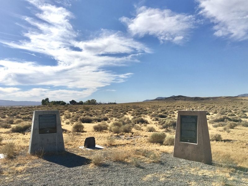
Location. 34° 56.027′ N, 116° 38.722′ W. Marker is in Newberry Springs, California, in San Bernardino County. Marker is at the intersection of Harvard Road and Mannix Road, on the right when traveling south on Harvard Road. Touch for map. Marker is at or near this postal address: 37404 Harvard Road, Newberry Springs CA 92365, United States of America. Touch for directions.
Other nearby markers. At least 8 other markers are within 11 miles of this marker, measured as the crow flies. Historic Mojave River Road (a few steps from this marker); Harvard Mill (approx. 2.3 miles away); Harvard Reservoir (approx. 2½ miles away); a different marker also named Camp Cady (approx. 2.7 miles away); Newberry Springs (approx. 7.7 miles away); Bagdad Café, Newberry Springs, California (approx. 7.9 miles away); Forks of the Road (approx. 9.3 miles away); Original Del Taco (approx. 10.2 miles away). Touch for a list and map of all markers in Newberry Springs.
Credits. This page was last revised on November 6, 2020. It was originally submitted on November 6, 2020, by Craig Baker of Sylmar, California. This page has been viewed 439 times since then and 33 times this year. Photos: 1, 2. submitted on November 6, 2020, by Craig Baker of Sylmar, California. • J. Makali Bruton was the editor who published this page.

