Newberry Springs in San Bernardino County, California — The American West (Pacific Coastal)
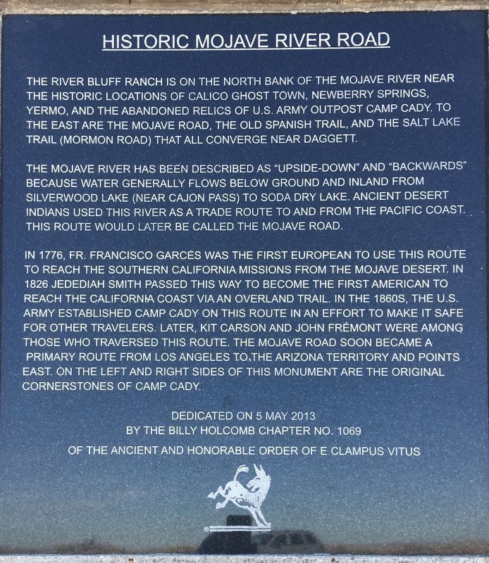
Historic Mojave River Road
The Mojave River has been described as “upside-down” and “backwards” because water generally flows below ground and inland from Silverwood Lake (near Cajon Pass) to Soda Dry Lake. Ancient desert Indians used the river as a trade route to and from the Pacific coast. This route would later be called the Mojave Road.
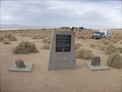
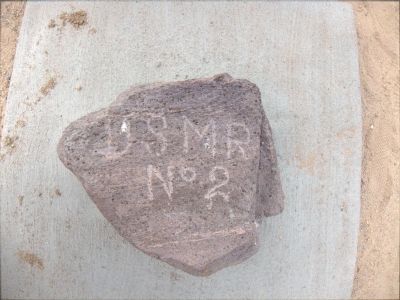
In 1776, Fr. Francisco Garces was the first European to use this route to reach the Southern California missions from the Mojave Desert. In 1826 Jedediah Smith passed this way to become the first American to reach the California coast via an overland trail. In the 1860’s, the U.S. Army established Camp Cady on this route in an effort to make it safe for other travelers. Later Kit Carson and John Fremont were among those who traversed this route. The Mojave Road soon became a primary route from Los Angeles to the Arizona Territory and points east. On the left and right sides of this monument are the original cornerstones of Camp Cady.
by the Billy Holcomb Chapter No. 1069
of the Ancient and Honorable Order of E Clampus Vitus
Erected 2013 by Billy Holcomb Chapter No. 1069, E Clampus Vitus. (Marker Number 145.)
Topics and series. This historical marker is listed in these topic lists: Exploration • Native Americans • Roads & Vehicles. In addition, it is included in the E Clampus Vitus series list. A significant historical date for this entry is May 5, 2013.
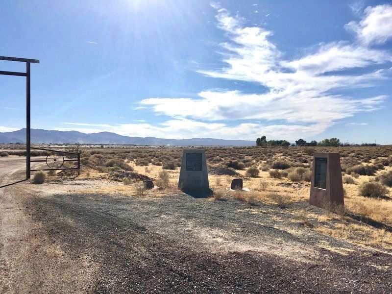
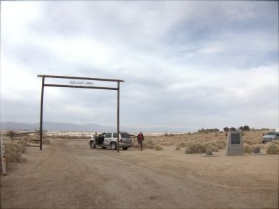
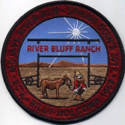
Location. 34° 56.021′ N, 116° 38.721′ W. Marker is in Newberry Springs, California, in San Bernardino County. Marker is at the intersection of Harvard Road and Mannix Road, on the right when traveling south on Harvard Road. Marker is located at the entrance to River Bluff Ranch. Touch for map. Marker is at or near this postal address: 37404 Harvard Road, Newberry Springs CA 92365, United States of America. Touch for directions.
Other nearby markers. At least 8 other markers are within 11 miles of this marker, measured as the crow flies. Camp Cady (a few steps from this marker); Harvard Mill (approx. 2.3 miles away); Harvard Reservoir (approx. 2½ miles away); a different marker also named Camp Cady (approx. 2.7 miles away); Newberry Springs (approx. 7.7 miles away); Bagdad Café, Newberry Springs, California (approx. 7.9 miles away); Forks of the Road (approx. 9.3 miles away); Original Del Taco (approx. 10.2 miles away). Touch for a list and map of all markers in Newberry Springs.
Also see . . . Historic California Posts: Camp Cady. The California State Military Museum (Submitted on May 8, 2014.)
Credits. This page was last revised on October 3, 2023. It was originally submitted on May 7, 2014. This page has been viewed 924 times since then and 45 times this year. Last updated on November 6, 2020, by Craig Baker of Sylmar, California. Photos: 1. submitted on November 6, 2020, by Craig Baker of Sylmar, California. 2, 3. submitted on May 7, 2014, by Michael Kindig of Elk Grove, California. 4. submitted on November 6, 2020, by Craig Baker of Sylmar, California. 5, 6. submitted on May 7, 2014, by Michael Kindig of Elk Grove, California. 7. submitted on May 11, 2014, by Michael Kindig of Elk Grove, California. • J. Makali Bruton was the editor who published this page.
