Near Newberry Springs in San Bernardino County, California — The American West (Pacific Coastal)
Harvard Reservoir
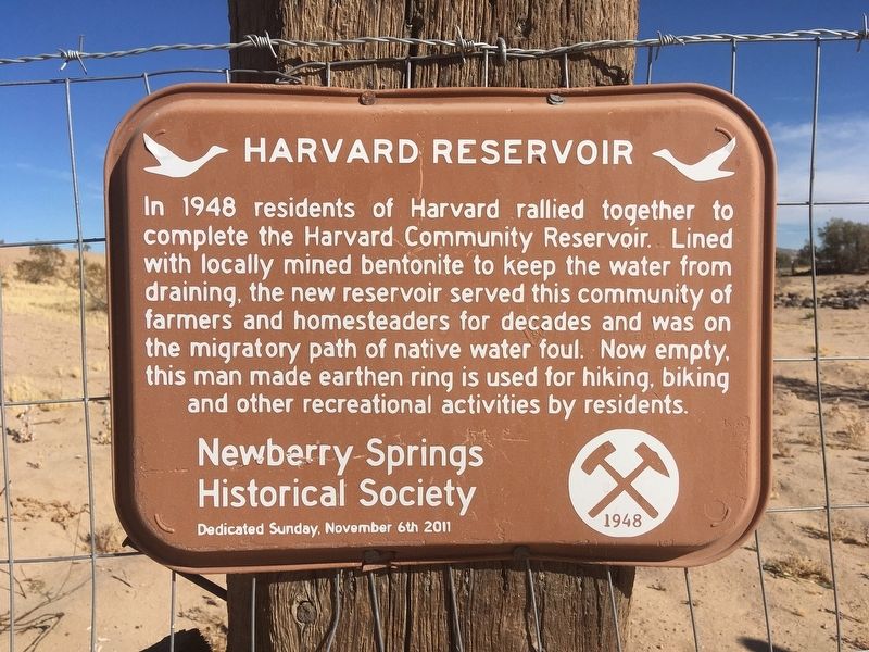
Photographed by Craig Baker, October 31, 2020
1. Harvard Reservoir Marker
Erected 2011 by Newberry Springs Historical Society.
Topics. This historical marker is listed in these topic lists: Industry & Commerce • Parks & Recreational Areas • Settlements & Settlers. A significant historical year for this entry is 1948.
Location. 34° 58.017′ N, 116° 39.717′ W. Marker is near Newberry Springs, California, in San Bernardino County. It is on Tami Road north of Barrett Road, on the right when traveling north. Touch for map. Marker is in this post office area: Newberry Springs CA 92365, United States of America. Touch for directions.

Regionally, this marker is in Greater Los Angeles, in the Mojave Desert, in the Peninsular Ranges, and specifically in the Transverse Ranges. It is
this page online
Other nearby markers. At least 8 other markers are within 11 miles of this marker, measured as the crow flies: Harvard Mill (approx. 0.2 miles away); Camp Cady (approx. 2½ miles away); Historic Mojave River Road (approx. 2½ miles away); a different marker also named Camp Cady (approx. 3.9 miles away); Newberry Springs (approx. 9.8 miles away); Original Del Taco (approx. 10 miles away); Bagdad Café (approx. 10.2 miles away); Forks of the Road (approx. 10.4 miles away). Touch for a list and map of all markers in Newberry Springs.
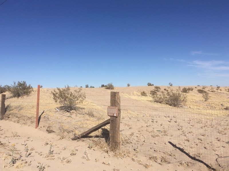
Photographed by Craig Baker, October 31, 2020
2. Harvard Reservoir Marker
Reservoir in background, not open to the public.
Credits. This page was last revised on November 6, 2020. It was originally submitted on November 6, 2020, by Craig Baker of Sylmar, California. This page has been viewed 425 times since then and 28 times this year. Photos: 1, 2. submitted on November 6, 2020, by Craig Baker of Sylmar, California. • J. Makali Bruton was the editor who published this page.
