Atlacomulco, Mexico State, Mexico — The Central Highlands (North America)
Atlacomulco
Photographed by J. Makali Bruton, October 25, 2020
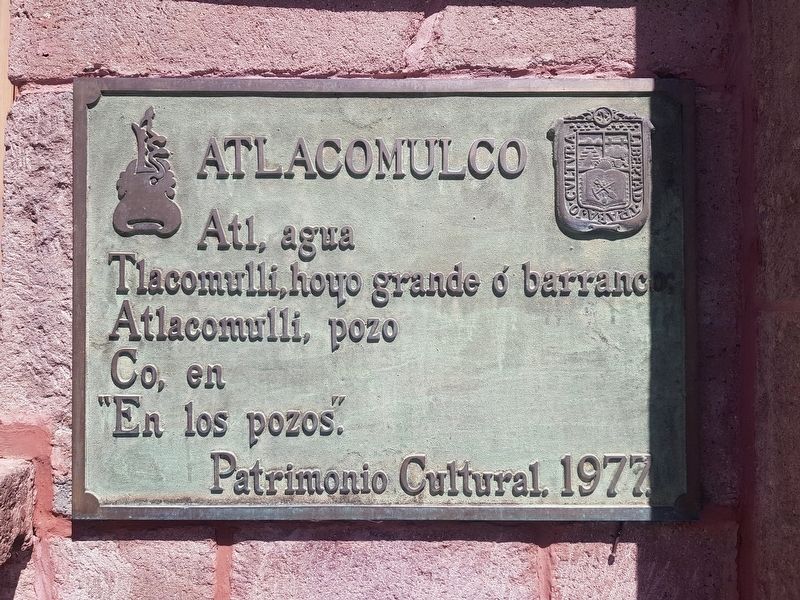
1. Atlacomulco Marker

Atl, agua
Tlacomulli, hoyo grande ó barranco
Atlacomulli, pozo
Co, en
“En los pozos.”
Patrimonio Cultural. 1977.
Atlacomulco
Atl, water
Tlacomulli, a large hole in the ground or ravine
Atlacomulli, a well
Co, in
“In the wells.”
Cultural Heritage. 1977.
Erected 1977 by Patrimonio Cultural.
Topics. This historical marker is listed in this topic list: Indigenous Peoples and Communities. A significant historical year for this entry is 1977.
Location. 19° 48′ N, 99° 52.458′ W. Marker is in Atlacomulco, Estado de Mexico (Mexico State). It is on Calle Lic. Isidro Fabela Alfaro just north of Antonio Vélez, on the left when traveling north. Touch for map. Marker is in this post office area: Atlacomulco MEX 50450, Mexico. Touch for directions.

Regionally, this marker is in Central Mexico and specifically in Mexico City Metropolitan Area. Globally, it is in North America, specifically in Mesoamerica, on the Ring of Fire, and in the Western Hemisphere. Historically, it finds itself in what was once New Spain, a Spanish colony, and the Aztec Empire.
Other nearby markers. At
this page online
Photographed by J. Makali Bruton, October 25, 2020
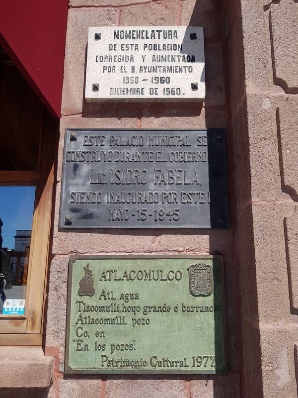
2. Additional nearby Atlacomulco Markers
Near the marker are two additional markers: a 1960 marker on the updated naming of the town and a 1945 marker noting that the Palacio Municipal was built during the government of Isidro Fabela.
Photographed by J. Makali Bruton, October 25, 2020
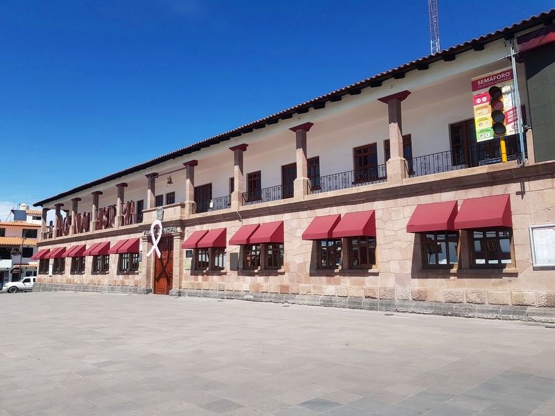
3. Atlacomulco Marker
The marker is to the left of the main entrance to the Palacio Municipal of Atlacomulco.
Credits. This page was last revised on November 6, 2020. It was originally submitted on November 6, 2020, by J. Makali Bruton of Washington, District of Columbia. This page has been viewed 172 times since then and 28 times this year. Photos: 1, 2, 3. submitted on November 6, 2020, by J. Makali Bruton of Washington, District of Columbia.
