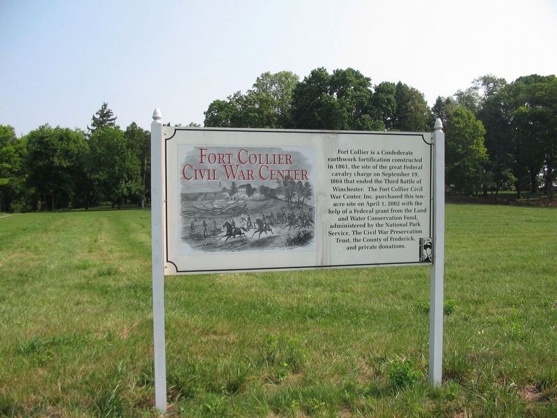
Near Winchester in Frederick County, Virginia — The American South (Mid-Atlantic)
Fort Collier Civil War Center
Topics. This historical marker is listed in these topic lists: Forts and Castles • War, US Civil. A significant historical date for this entry is April 1, 2002.
Location. Marker has been reported permanently removed. It was located near 39° 12.032′ N, 78° 9.309′ W. Marker was near Winchester, Virginia, in Frederick County. Marker was at the intersection of Brooke Road (Virginia Route 1322) and Brick Kiln Road (Virginia Route 783), on the right when traveling east on Brooke Road. Touch for map. Marker was at or near this postal address: 909 Martinsburg Pike, Winchester VA 22601, United States of America.
We have been informed that this sign or monument is no longer there and will not be replaced. This page is an archival view of what was.
Other nearby markers. At least 8 other markers are within walking distance of this location. 2nd Battle of Winchester (within shouting distance of this marker); 3rd Battle of Winchester (within shouting distance of this marker); 2nd Battle of Winchester / 3rd Battle of Winchester (within shouting distance of this marker); Fort Collier (about 400 feet away, measured in a direct line); George Washington in Winchester (about 400 feet away); a different marker also named Fort Collier (about 400 feet away); a different marker also named Fort Collier (about 600 feet away); Lt. Collier’s Earthworks (about 600 feet away). Touch for a list and map of all markers in Winchester.
Credits. This page was last revised on November 7, 2020. It was originally submitted on November 7, 2020, by Craig Swain of Leesburg, Virginia. This page has been viewed 168 times since then and 14 times this year. Photo 1. submitted on September 14, 2007, by Craig Swain of Leesburg, Virginia. • Devry Becker Jones was the editor who published this page.
