Strasburg in Shenandoah County, Virginia — The American South (Mid-Atlantic)
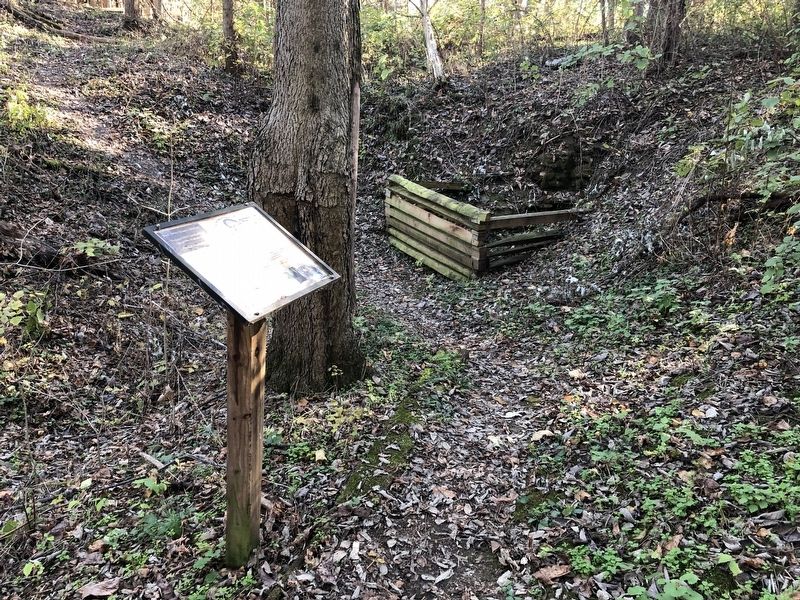
Keyhole Cave
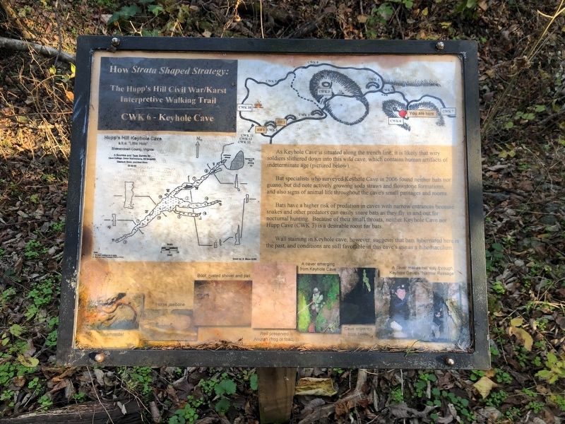
How Strata Shaped Strategy: The Hupp's Hill Civil War/Karst Interpretive Walking Trail
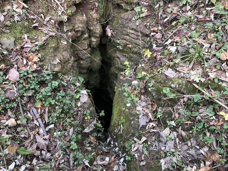
As Keyhole Cave is situated along the trench line, it is likely that wiry soldiers slithered down into this wild cave, which contains human artifacts of indeterminate age (pictured below).
Bat specialists who surveyed Keyhole Cave in 2006 found neither bats nor guano, but did note actively growing soda straws and flowstone formations, and also signs of animal life throughout the cave's small passages and rooms.
Bats have a higher risk of predation in caves with narrow entrances because snakes and other predators can easily snare bats as they fly in and out for nocturnal hunting. Because of their small throats, neither Keyhole Cave nor Hupp Cave (CWK 3) is a desirable roost for bats.
Wall staining in Keyhole cave, however, suggests that bats hibernated here in the past, and conditions are still favorable in this cave's use as a hibernaculum.
Erected by Cedar Creek Battlefield Foundation. (Marker Number CWK 6.)
Topics and series. This historical marker is listed in these topic lists: Animals • Anthropology & Archaeology • Natural Features. In addition, it is included in the Virginia, Strasburg, How Strata Shaped Strategy: The Hupp's Hill Civil War/Karst Interpretive Walking Trail series list. A significant historical year for this entry is 2006.
Location. 39° 0.065′ N, 78° 21.034′ W. Marker is in Strasburg, Virginia, in Shenandoah County. Marker can be reached from Old Valley Pike (U.S. 11) 0.2 miles west of Signal Knob Drive, on the right when traveling west. Touch for map. Marker is at or near this postal address: 33229 Old Valley Pike, Strasburg VA 22657, United States of America. Touch for directions.
Other nearby markers. At least 8 other markers are within walking distance of this marker. Winter Quarters (within shouting distance of this marker); Lunette (within shouting distance of this marker); Hupp Cave (within shouting distance of this marker); A Natural Bombproof (about 300 feet away, measured in a direct line); The Shenandoah Valley / Battle of Cedar Creek, October 19, 1864 (about 300 feet away); Field Fortifications (about 300 feet away); Trail Head (about 400 feet away); Strasburg (about 400 feet away). Touch for a list and map of all markers in Strasburg.
Credits. This page was last revised on November 10, 2020. It was originally submitted on November 7, 2020, by Devry Becker Jones of Washington, District of Columbia. This page has been viewed 223 times since then and 30 times this year. Photos: 1, 2, 3. submitted on November 7, 2020, by Devry Becker Jones of Washington, District of Columbia.


