Soulard in St. Louis, Missouri — The American Midwest (Upper Plains)
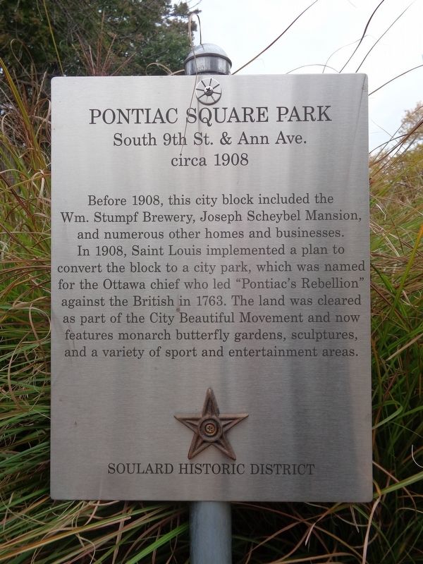
Pontiac Square Park
South 9th St. & Ann Ave.
— circa 1908 —
Erected 2019 by Soulard Historic District.
Topics and series. This historical marker is listed in these topic lists: Industry & Commerce • Native Americans • Parks & Recreational Areas. In addition, it is included in the Missouri, St. Louis, Soulard Historic District ⚜️ series list. A significant historical year for this entry is 1908.
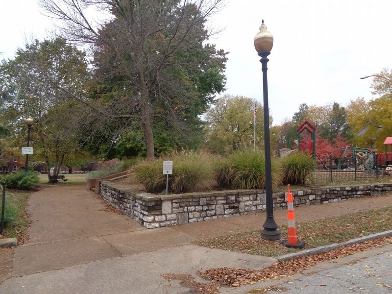
Location. 38° 36.338′ N, 90° 12.383′ W. Marker is in St. Louis, Missouri. It is in Soulard. Marker is on Ann Avenue west of South 9th Street, on the right when traveling east. Touch for map. Marker is at or near this postal address: 909 Ann Ave, Saint Louis MO 63104, United States of America. Touch for directions.
Other nearby markers. At least 8 other markers are within walking distance of this marker. Lafayette Lofts (about 300 feet away, measured in a direct line); Menard Triplets (about 600 feet away); Jos. Wushke Cigar Factory No. 37 (about 600 feet away); The Trapper Cottage (approx. 0.2 miles away); a different marker also named The Trapper Cottage (approx. 0.2 miles away); Sts. Peter and Paul Parish (approx. 0.2 miles away); Renault Beauvais Home (approx. 0.2 miles away); The Slezak House (approx. ¼ mile away). Touch for a list and map of all markers in St. Louis.
Credits. This page was last revised on January 30, 2023. It was originally submitted on November 7, 2020, by Jason Voigt of Glen Carbon, Illinois. This page has been viewed 255 times since then and 38 times this year. Photos: 1, 2. submitted on November 7, 2020, by Jason Voigt of Glen Carbon, Illinois.

