Death Valley National Park in Inyo County, California — The American West (Pacific Coastal)
Petroglyphs
Photographed by Craig Baker, October 27, 2020
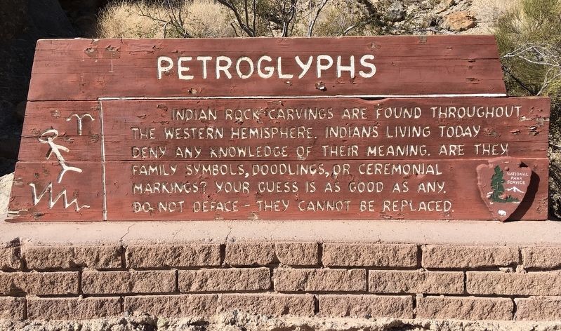
1. Petroglyphs Marker
Indian rock carvings are found throughout the Western Hemisphere. Indians living today deny any knowledge of their meaning. Are they family symbols, doodlings, or ceremonial markings? Your guess is as good as any.
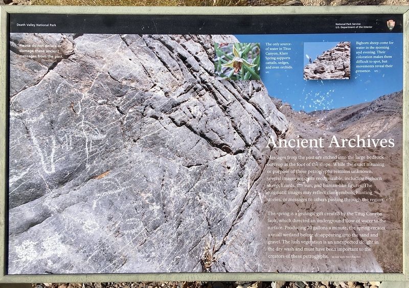
Ancient Archives
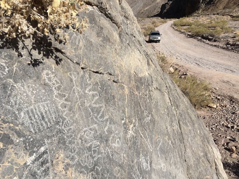
Messages from the past are etched into the large bedrock outcrop at the foot of the slope. While the exact meaning or purpose of these petroglyphs remains unknown, several images are quite recognizable, including bighorn sheep, lizards, the sun, and human-like figures. The enigmatic images may reflect clan symbols, hunting stories, or messages to others passing through the region.
The spring is a geologic gift created by the Titus Canyon fault, which directed an underground flow of water to the surface. Producing 20 gallons a minute, the spring creates a small wetland before disappearing into the sand and gravel. The lush vegetation is an unexpected delight in the dry wash and must have been important to the creators of these petroglyphs.
photo captions:
The only source of water in Titus Canyon, Klare Spring supports cattails, sedges, and even
this page online
Bighorn sheep come for water in the morning and evening. Their coloration makes them difficult to spot, but movements reveal their presence.
Erected by National Park Service.
Topics. This historical marker is listed in these topic lists: Arts, Letters, Music • Indigenous Peoples and Communities.
Location. 36° 50.483′ N, 117° 5.437′ W. Marker is in Death Valley National Park, California, in Inyo County. It is on Titus Canyon Road 18 miles west of Highway 374, on the right when traveling west. High ground clearance vehicle required. The 27-mile one-way canyon road begins near Rhyolite Nevada. Touch for map. Marker is in this post office area: Death Valley CA 92328, United States of America. Touch for directions.

Regionally, this marker is in California’s Sierra Nevada. It is also in the American Mountain West. Globally, it is in North America, on the Ring of Fire, in the Pacific Rim, in the Western Hemisphere, in the Western World, and in the Anglosphere. Historically, it finds itself in what was once New Spain and also Mexico’s Alta California.
Photographed by Craig Baker, October 27, 2020
2. Petroglyphs Interpretive Sign
Other nearby markers. At least 6 other markers are within 16 miles of this marker, measured as the crow flies: Leadfield (approx. 1.8 miles away); a different marker also named Leadfield (approx. 1.8 miles away); Death Valley National Park (approx. 10.2 miles away); Transportation Traces (approx. 12.3 miles away); Old Stovepipe Wells (approx. 12.6 miles away); a different marker also named Keane Wonder Mine (approx. 15.6 miles away). Touch for a list and map of all markers in Death Valley National Park.
Other markers no longer nearby. Wagon Wheel History (was approx. 12.3 miles away); Keane Wonder Mine (was approx. 15.6 miles away but has been reported to have been replaced with another marker now near it).
Related marker. Click here for another marker that is related to this marker. Titus Canyon Road Safety Information.
Also see . . . Titus Canyon. The Death Valley National Park website includes directions and safety tips. Check the Alerts for road closures. (Submitted on November 3, 2020.)
Photographed by Craig Baker, October 27, 2020
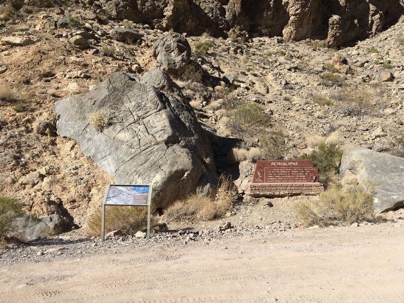
3. Petroglyphs, Interpretive Sign, and Marker
Photographed by Craig Baker, October 27, 2020
4. Petroglyphs
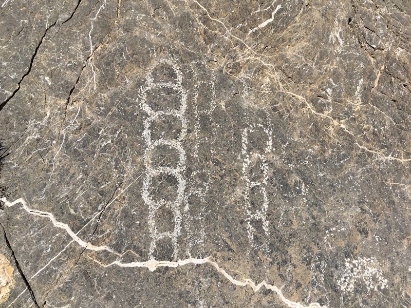
Photographed by Craig Baker, October 27, 2020
5. Petroglyphs
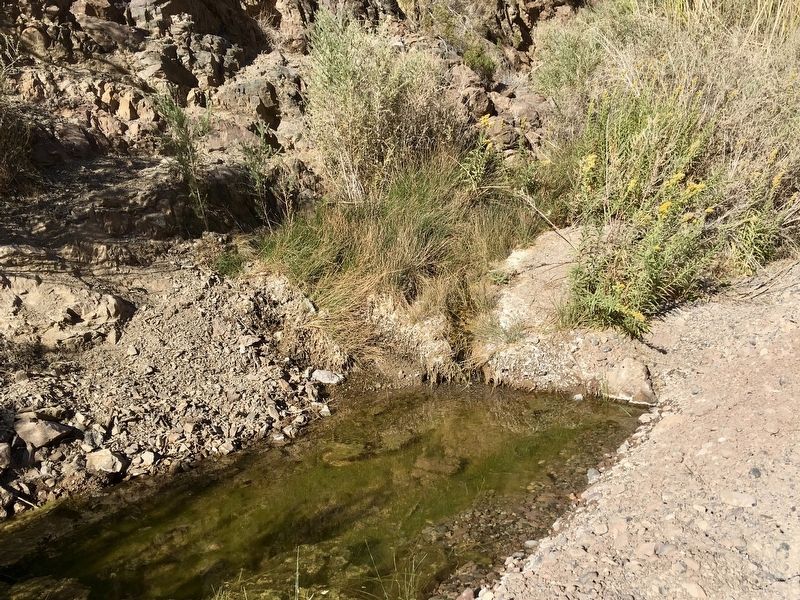
Photographed by Craig Baker, October 27, 2020
6. Klare Spring
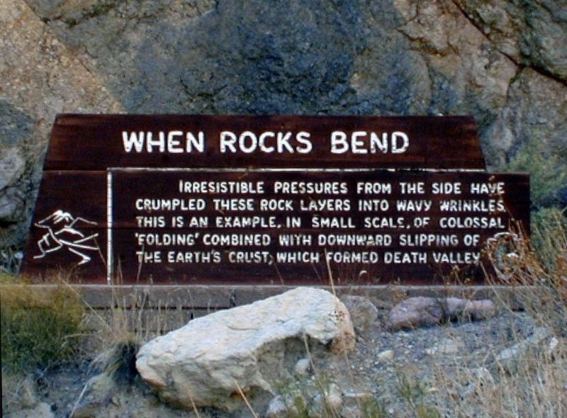
Photographed by Craig Baker
7. When Rocks Bend
This sign is now missing.
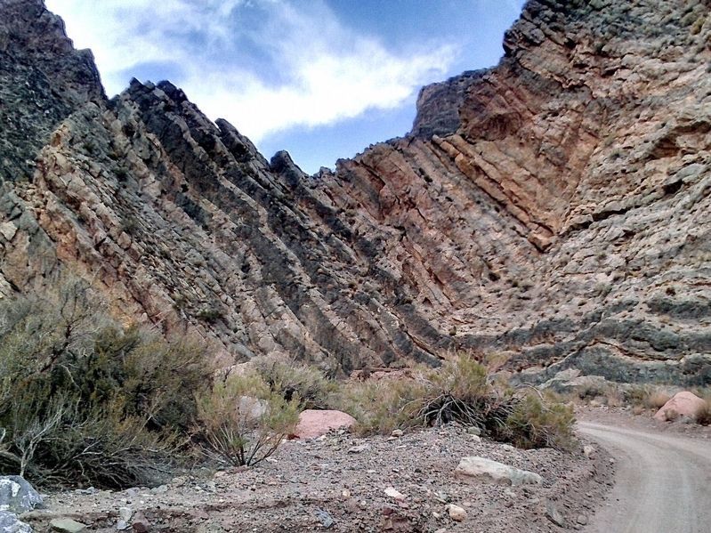
Photographed by Craig Baker
8. When Rocks Bend
The pedestal of the missing sign can be seen just above the road at the center of this photo.
Credits. This page was last revised on March 7, 2026. It was originally submitted on November 3, 2020. This page has been viewed 516 times since then and 37 times this year. Last updated on November 8, 2020, by Craig Baker of Sylmar, California. Photos: 1, 2, 3, 4, 5, 6. submitted on November 3, 2020, by Craig Baker of Sylmar, California. 7, 8. submitted on March 7, 2026, by Craig Baker of Sylmar, California. • J. Makali Bruton was the editor who published this page.
