Near Healdsburg in Sonoma County, California — The American West (Pacific Coastal)
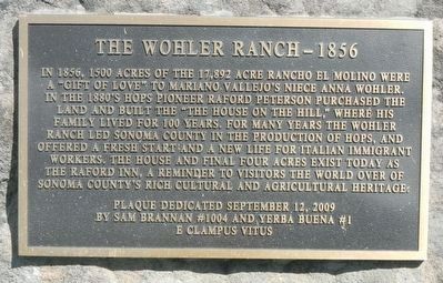
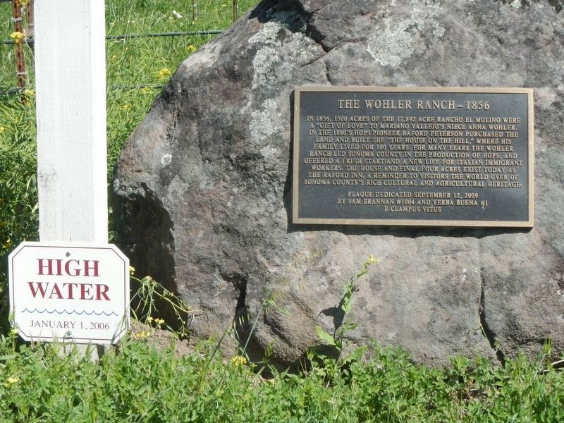
The Wohler Ranch -- 1856
Erected 2009 by E Clampus Vitus, Sam Brannan Chapter No. 1004 and Yerba Buena Chapter No. 1.
Topics and series. This historical marker is listed in these topic lists: Agriculture • Settlements & Settlers. In addition, it is included in the E Clampus Vitus series list. A significant historical year for this entry is 1856.
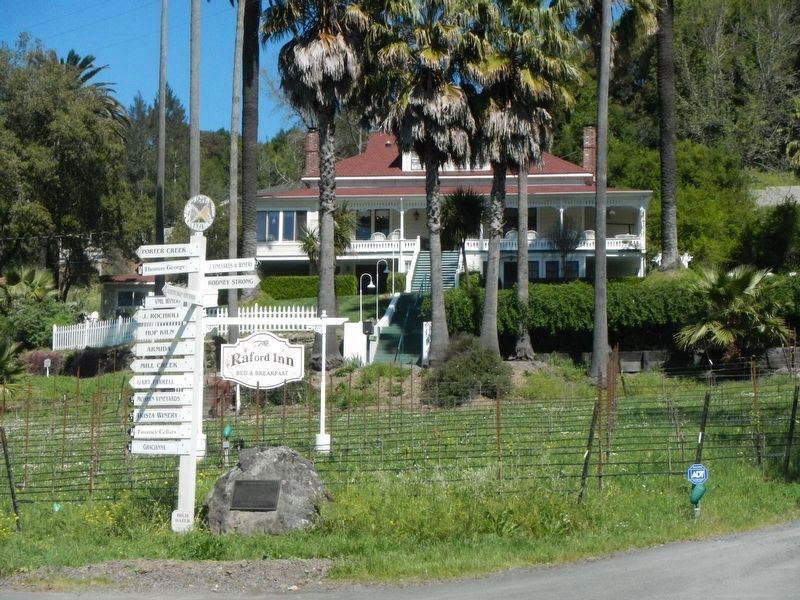
Location. 38° 29.821′ N, 122° 52.659′ W. Marker is near Healdsburg, California, in Sonoma County. Marker is at the intersection of Wohler Road and Eastside Road, on the right when traveling north on Wohler Road. Touch for map. Marker is at or near this postal address: 10350 Wohler Road, Healdsburg CA 95448, United States of America. Touch for directions.
Other nearby markers. At least 8 other markers are within 5 miles of this marker, measured as the crow flies. First Power Commercial Sawmill (approx. one mile away); Walters Ranch Hop Kiln (approx. 2.8 miles away); Shiloh Cemetery (approx. 3.9 miles away); Korbel Station (approx. 4.8 miles away); Present Day Windsor (approx. 4.9 miles away); Historical Events from the 20th Century (approx. 4.9 miles away); Early Windsor's People: The Southern Pomo (approx. 4.9 miles away); Windsor's Historically Important Families (approx. 4.9 miles away).
Credits. This page was last revised on November 8, 2020. It was originally submitted on April 5, 2017, by Barry Swackhamer of Brentwood, California. This page has been viewed 500 times since then and 34 times this year. Last updated on November 8, 2020, by Diane Phillips of Pittsburg, California. Photos: 1, 2, 3, 4. submitted on April 5, 2017, by Barry Swackhamer of Brentwood, California. • J. Makali Bruton was the editor who published this page.


