Mount Morris in Livingston County, New York — The American Northeast (Mid-Atlantic)
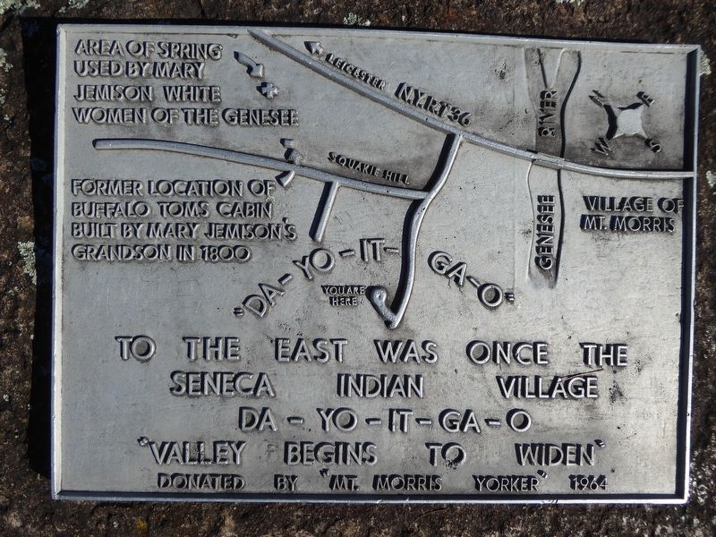
"Da-Yo-It-Ga-O"
Da-Yo-It-Ga-O
"Valley begins to widen"
[Locations highlighted on the map:]
Area of spring used by Mary Jemison White Woman of the Genesee
Former location of Buffalo Tom's cabin built by Mary Jemison's grandson in 1800
Erected 1964 by "Mt. Morris Yorker".
Topics. This historical marker is listed in these topic lists: Native Americans • Settlements & Settlers • Women. A significant historical year for this entry is 1800.
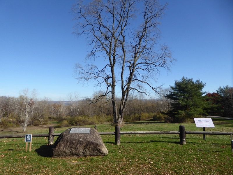
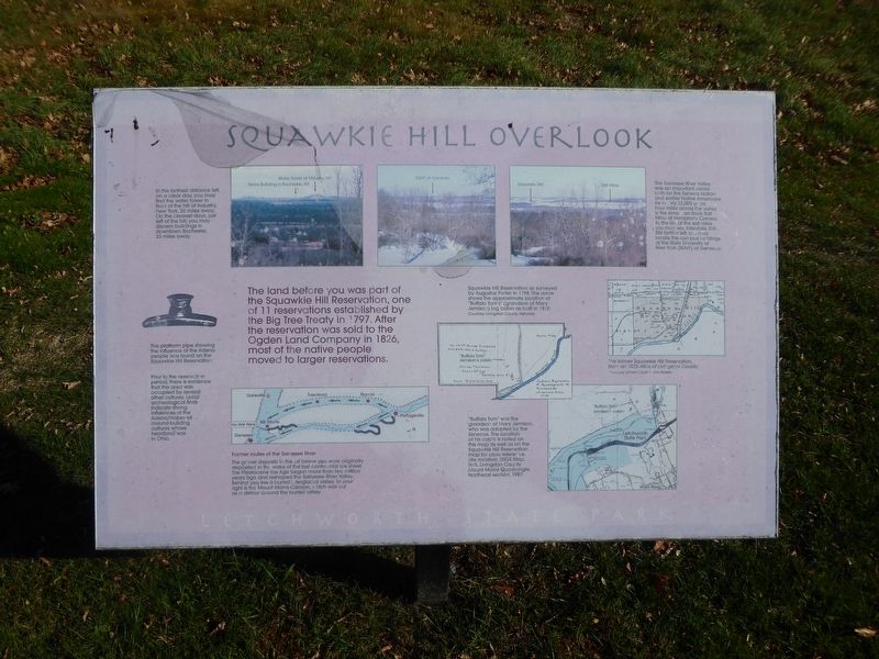
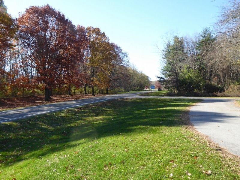
Location. 42° 44.321′ N, 77° 53.817′ W. Marker is in Mount Morris, New York, in Livingston County. Marker is on Park Road, 0.6 miles west of Upper Mt. Morris Road, on the right when traveling west. Marker is located in a turn off area from Park Road, about .4 miles from the Mt. Morris entrance toll booth, Letchworth State Park, NY. Touch for map. Marker is at or near this postal address: 2630 Park Rd, Mount Morris NY 14510, United States of America. Touch for directions.
Other nearby markers. At least 8 other markers are within walking distance of this marker. Mt. Morris Dam (approx. 0.6 miles away); The Largest Dry Bed Dam East of the Mississippi River (approx. 0.7 miles away); Dam Facts (approx. 0.7 miles away); Why Was This Dam Built? (approx. 0.7 miles away); Mount Morris Dam Commemorative Kiosk (approx. 0.7 miles away); Murray Hill (approx. 0.8 miles away); John Wesley Powell (approx. 0.9 miles away); Site of De-Yu-It-Ga-Oh (approx. one mile away). Touch for a list and map of all markers in Mount Morris.
Credits. This page was last revised on November 9, 2020. It was originally submitted on November 9, 2020, by Bruce Kelly of Perry, New York. This page has been viewed 197 times since then and 40 times this year. Photos: 1, 2, 3, 4. submitted on November 9, 2020, by Bruce Kelly of Perry, New York. • Devry Becker Jones was the editor who published this page.


