Near Carrollton in Carroll County, Ohio — The American Midwest (Great Lakes)
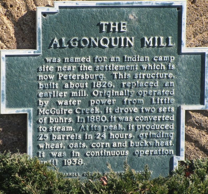
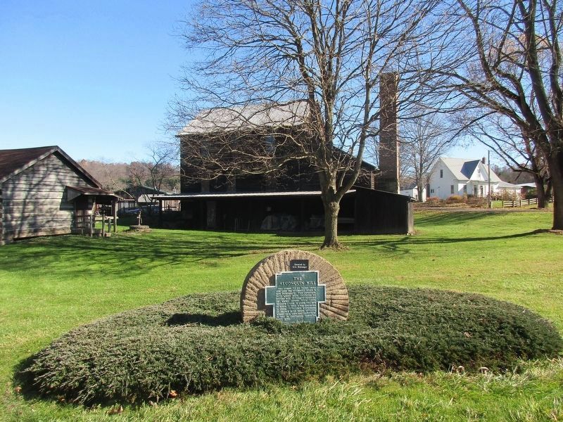
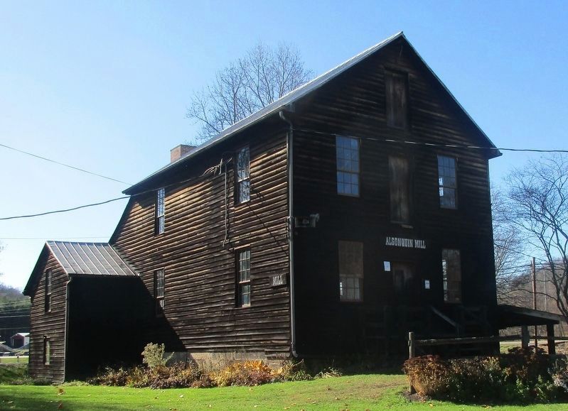
The Algonquin Mill
Erected 1971 by Carroll County Historical Society.
Topics. This historical marker is listed in these topic lists: Industry & Commerce • Native Americans • Settlements & Settlers • Waterways & Vessels.
Location. 40° 30.771′ N, 81° 6.756′ W. Marker is near Carrollton, Ohio, in Carroll County. Marker is at the intersection of Scio Road (Ohio Route 332) and Autumn Rd SW (County Road 19), on the left when traveling south on Scio Road. The marker is on the grounds of the Algonquin Mill Festival Park. Touch for map. Marker is at or near this postal address: 4281 Scio Rd, Carrollton OH 44615, United States of America. Touch for directions.
Other nearby markers. At least 8 other markers are within 6 miles of this marker, measured as the crow flies. The Perrysville Methodist Episcopal Church (approx. 3.4 miles away); Veterans Memorial (approx. 3.9 miles away); The Fighting McCooks and the Civil War (approx. 4.3 miles away); “Fighting McCook” Home (approx. 4.3 miles away); The First Courthouse (approx. 4.3 miles away); Carrollton Veterans Memorial (approx. 4.4 miles away); The Grand Tea Room (approx. 4.4 miles away); Carrollton (approx. 5½ miles away). Touch for a list and map of all markers in Carrollton.
Credits. This page was last revised on November 10, 2020. It was originally submitted on November 10, 2020, by Rev. Ronald Irick of West Liberty, Ohio. This page has been viewed 269 times since then and 41 times this year. Photos: 1, 2, 3. submitted on November 10, 2020, by Rev. Ronald Irick of West Liberty, Ohio. • Devry Becker Jones was the editor who published this page.


