Monticello in Fairfield County, South Carolina — The American South (South Atlantic)
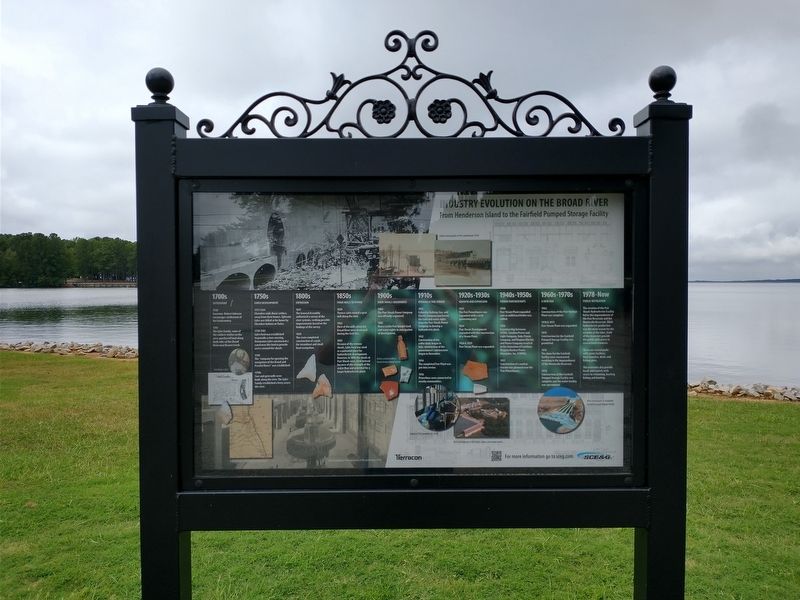
Industry Evolution on the Broad River
From Henderson Island to the Fairfield Pumped Storage Facility
1700s
Settlement
1730 – Governor Robert Johnson encourages settlement of the backcountry
1745 – The Lyles family, some of the earliest settlers in the area, purchased land along both sides of the Broad River near Beaver Creek
(caption) John Rogers Lyles
1750s
Early Development
1757-1764 – Cherokee raids drove settlers away from their homes. Ephraim Lyles was killed at his home by Cherokee Indians or Tories.
1750-1785 – Lyles Ford was established to provide a river crossing. Arromanus Lyles constructed a canal near the ford to provide access around the shoals.
1788 – The “company for opening the navigation of the Broad and Pacolet Rivers” was established.
1790s – Saw and grist mills were built along the river. The Lyles family established a ferry across the river.
1800s
Expansion
1817 – The General Assembly authorizes a survey of the river systems, seeking possible improvements based on findings of the survey.
1828 – The state completed construction of canals for steamboat and small boat navigation.
1850s
From Mills to Hydro
1850 – Thomas Lyles owned a grist mill along the river.
1865 – Most of the mills along the Broad River were destroyed during the Civil War.
1883 – Because of the intense shoals, Lyles Ford was sited as a potential place for hydroelectric development. However, in 1896 the shoals at Parr Shoals were sited instead because of the strength of the water flow and a potential for a larger hydroelectric plant.
1900s
Parr Shoals Beginnings
1904 – The Parr Shoals Power Company was officially organized.
1905 – Henry Larkin Parr bought land and water rights in anticipation of development.
(caption) Historic period artifacts found during cultural survey.
1910s
Hydroelectric Power
1912 – Columbia railway, Gas, and Electric Company purchased the land and water rights from the Parr Shoals Power Company to develop a hydroelectric plant.
1912 – Construction of the coffer dams began in July; construction of the powerhouse’s substructure began in November.
1914 – The completed Parr Plant was put into service.
1916 – Powerlines were connected to nearby communities.
1920s–1930s
Growth and Expansion
1921 – The Parr Powerhouse was expanded with a sixth generating unit.
1924 – Parr Shoals Development expanded with the construction of a Steam Plant.
1926 & 1929 – Parr Steam Plant was expanded.
1940s–1950s
Power
Partnerships
1940 - Parr Steam Plant expanded and an additional boiler was added.
1956 – A partnership between SCE&G, Carolina Power and Light Company, Duke Power Company, and Virginian Electric and Power Company resulted in the formation of Carolinas Virginia Nuclear Power Associates, Inc. (CVNPA).
1957 – Construction of a nuclear reactor was planned near the Parr Powerhouse.
1960s–1970s
A New Era
1962 - Construction of the Parr Nuclear Plant was complete.
1970 & 1971 - Parr Steam Plant was expanded.
1974 – Construction for the Fairfield Pumped Storage Facility was permitted.
1976 – The dams for the Fairfield facility were constructed, resulting in the impoundment of the Monticello Reservoir.
1978 - Construction for the Fairfield Pumped Storage Facility was complete and the entire facility was operational.
1978–Now
Public Recreation
The creation of the Parr Shoals Hydroelectric Facility led to the impoundment of the Parr Reservoir and the Monticello Reservoir. While hydroelectric production was the main reason for the creation of the lakes, both of the reservoirs provide the public with access to recreational resources.
There are several parks with picnic facilities, boat launches, docks and fishing piers.
The reservoirs also
provide locals and tourists with access to swimming, boating, fishing and hunting.
(captions)
Interior of Parr Powerhouse (2016).
Aerial photograph of Parr hydro, steam, and nuclear plants.
Aerial photograph of completed Fairfield Pumped Storage Facility.
Erected by South Carolina Electric & Gas.
Topics. This historical marker is listed in these topic lists: Colonial Era • Industry & Commerce • Parks & Recreational Areas • Settlements & Settlers. A significant historical month for this entry is November 1914.
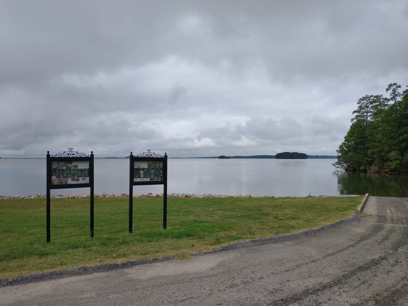
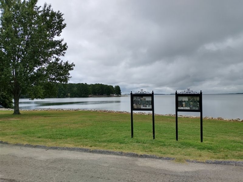
Location. 34° 19.64′ N, 81° 17.143′ W. Marker is in Monticello, South Carolina, in Fairfield County. Marker is on Monticello Road (State Highway 215) 0.3 miles north of Baltic Circle, on the left when traveling north. Marker is located at the boat ramp north of Lake Monticello Park. Touch for map. Marker is in this post office area: Jenkinsville SC 29065, United States of America. Touch for directions.
Other nearby markers. At least 8 other markers are within 8 miles of this marker, measured as the crow flies. A different marker also named Industry Evolution on the Broad River (here, next to this marker); Old Brick Church (approx. 1½ miles away); Kincaid-Anderson House (approx. 2.6 miles away); Nuclear Power (approx. 4½ miles away); The Oaks (approx. 5.9 miles away); Hope Rosenwald School (approx. 6 miles away); Peak (approx. 6.3 miles away); St. John's Church (approx. 7.1 miles away).
Credits. This page was last revised on November 11, 2020. It was originally submitted on November 10, 2020, by Tom Bosse of Jefferson City, Tennessee. This page has been viewed 380 times since then and 36 times this year. Photos: 1, 2, 3. submitted on November 10, 2020, by Tom Bosse of Jefferson City, Tennessee. • Bernard Fisher was the editor who published this page.


