Brattleboro in Windham County, Vermont — The American Northeast (New England)
Fort Dummer
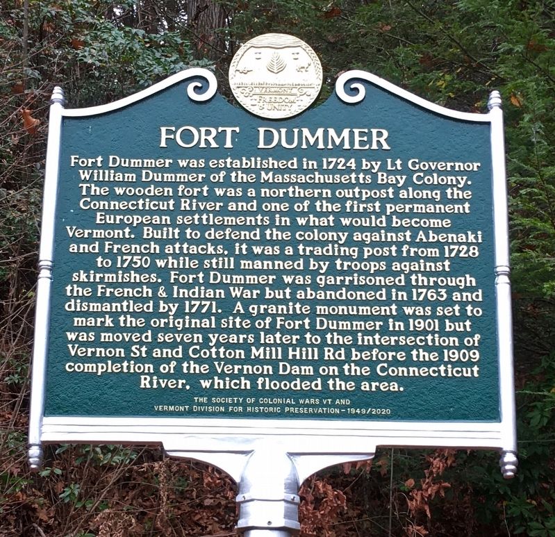
Fort Dummer was established in 1724 by Lt Governor William Dummer of the Massachusetts Bay Colony. The wooden fort was a northern outpost along the Connecticut River and one of the first permanent European settlements in what would become Vermont. Built to defend the colony against Abenaki and French attacks, it was a trading post from 1728 to 1750 while still manned by troops against skirmishes. Fort Dummer was garrisoned through the French & Indian War but abandoned in 1763 and dismantled by 1771. A granite monument was set to mark the original site of Fort Dummer in 1901 but was removed seven years later to the intersection of Vernon St and Cotton Mill Hill Rd before the 1909 completion of the Vernon Dam on the Connecticut River, which flooded he area.
Erected 2020 by The Society of Colonial Wars VT and Vermont Division for Historic Preservation.
Topics. This memorial is listed in these topic lists: Colonial Era • Forts and Castles • Settlements & Settlers • War, French and Indian. A significant historical date for this entry is May 31, 1724.
Location. 42° 49.976′ N, 72° 33.217′ W. Marker is in Brattleboro, Vermont, in Windham County. Memorial is at the intersection of Vernon Street (Route 142) and Cotton Mill Hill Road, on the right when traveling south on Vernon Street. Touch for map. Marker is at or near this postal address: 2 Cotton Mill Hill Road, Brattleboro VT 05301, United States of America. Touch for directions.
Other nearby markers. At least 8 other markers are within 2 miles of this marker, measured as the crow flies. Site of Fort Dummer (here, next to this marker); Upon This Ground (approx. half a mile away); Veterans Memorial (approx. ¾ mile away); Prospect Hill Soldier's Lot (approx. 0.9 miles away); Estey Organ Company (approx. one mile away); Centre Congregational Church (approx. 1½ miles away); Brattleboro / Molly Stark Byway (approx. 1½ miles away); Broad Brook House (approx. 1½ miles away). Touch for a list and map of all markers in Brattleboro.
Also see . . .
1. Fort Dummer Site. Brattleboro History website entry (Submitted on November 12, 2020, by Alan M. Perrie of Unionville, Connecticut.)
2. Fort Dummer. Brattleboro Words Trail Project website entry (Submitted on November 12, 2020, by Alan M. Perrie of Unionville, Connecticut.)
Credits. This page was last revised on February 6, 2023. It was originally submitted on November 12, 2020, by Alan M. Perrie of Unionville, Connecticut. This page has been viewed 519 times since then and 73 times this year. Photos: 1. submitted on November 12, 2020, by Alan M. Perrie of Unionville, Connecticut. 2. submitted on November 15, 2021, by Dennis Gilkenson of Saxtons River, Vermont. • Michael Herrick was the editor who published this page.

