Arendtsville in Adams County, Pennsylvania — The American Northeast (Mid-Atlantic)
South Mountain: The Bedrock Of Conservation…
…Yesterday And Today

Photographed By Devry Becker Jones (CC0), November 11, 2020
1. South Mountain: The Bedrock Of Conservation… Marker
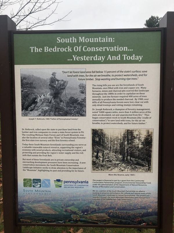
"Don't let forest land area fall below 15 percent of the state's surface; save land with trees, for the air we breathe, to protect watersheds, and for future timber. Stop wasting and burning ripe trees."
The rising hills you see are the forestlands of South Mountain, once filled with iron and copper ore. Many furnaces, mines and charcoal pits scarred this landscape throughout the 1800s in order to capitalize on these minerals. Just one furnace required 400 acres of trees annually to produce the needed charcoal. By 1900, over 60% of all Pennsylvania forests were lost; clear cut with only dried treetops and rotting stumps remaining.
Dr. Joseph Rothrock, a champion of forestry management, noted "6400 square miles, more than 4 million acres of the state are desolated, cut and unprotected from fire." Thus began conservation work in South Mountain (the 'cradle of conservation') "to save land with trees, for the air we breathe, to protect watersheds, and for future timber."
Dr. Rothrock, called upon the state to purchase land from the lumber and iron companies to create a state forest system in PA. The resulting Michaux State Forest, part of South Mountain, was also the location of several other "firsts" in Pennsylvania Forestry—the first state tree nursery and the first forestry school.
Today these South Mountain forestlands surrounding you serve as a valuable renewable natural resource, supporting the region's economy with wood products, attracting recreational visitors, and protecting and providing the region's water supply and the rich soils that sustain the Fruit Belt.
But most of these forestlands are in private ownership and encroaching development pressures have been increasing. A new conservation movement, the South Mountain Conservation Landscape Initiative works to draw attention to the importance of the "Mountain", highlighting its past and providing for its future.
This project is financed in part by a grant from the Community Conservation Partnerships program, Environmental Stewardship Fund, under the administration of the Department of Natural Resources, Bureau of Recreation and Conservation.
We are a partner of the South Mountain Partnership, an alliance working to preserve and enhance the cultural and natural assets of the South Mountain Landscape in Central Pennsylvania. This project was awarded through the South Mountain Partnership with management oversight of the Appalachian Trail Conservancy.
Erected by South Mountain Partnership; Pennsylvania Department of Conservation and Natural Resources.
Topics. This historical marker is listed in these topic lists:

Photographed By Devry Becker Jones (CC0), November 11, 2020
2. South Mountain: The Bedrock Of Conservation… Marker
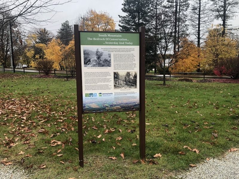
Location. 39° 55.313′ N, 77° 18.022′ W. Marker is in Arendtsville, Pennsylvania, in Adams County. Marker is at the intersection of South High Street and Chambersburg Street, on the right when traveling south on South High Street. Touch for map. Marker is at or near this postal address: 11 S High St, Biglerville PA 17307, United States of America. Touch for directions.
Other nearby markers. At least 8 other markers are within 3 miles of this marker, measured as the crow flies. Local History of the Area (here, next to this marker); Why are South Mountain and the Fruit Belt so important to the area and Pennsylvania? (a few steps from this marker); Veterans Memorial (a few steps from this marker); Pennsylvania Bread Basket: Feeding a Nation in Conflict (a few steps from this marker); F.D.R. Slept Here (within shouting distance of this marker); Arendtsville (about 700 feet away, measured in a direct line); Penn State Fruit Research and Extension Center (approx. 2˝ miles away); Biglerville (approx. 2.8 miles away). Touch for a list and map of all markers in Arendtsville.
Credits. This page was last revised on November 12, 2020. It was originally submitted on November 12, 2020, by Devry Becker Jones of Washington, District of Columbia. This page has been viewed 253 times since then and 38 times this year. Photos: 1, 2. submitted on November 12, 2020, by Devry Becker Jones of Washington, District of Columbia.