Brentwood in Williamson County, Tennessee — The American South (East South Central)
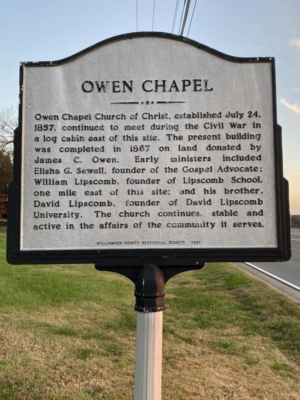
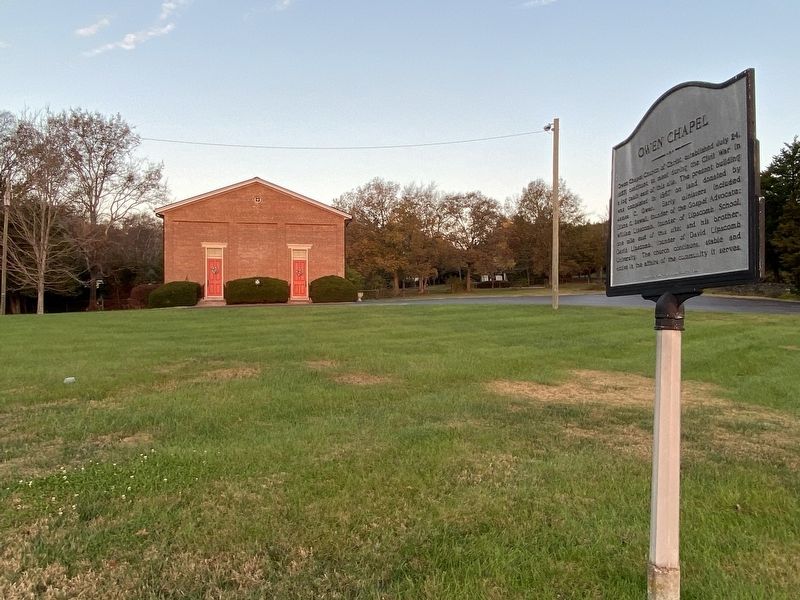
Owen Chapel
Erected 1991 by Williamson County Historical Society.
Topics and series. This historical marker is listed in these topic lists: Churches & Religion • Education • War, US Civil. In addition, it is included in the Tennessee – Williamson County Historical Society series list. A significant historical date for this entry is July 24, 1857.
Location. 36° 0.011′ N, 86° 48.533′ W. Marker is in Brentwood, Tennessee, in Williamson County. Marker is at the intersection of Franklin Road (U.S. 31) and Jackson Lane, on the right when traveling south on Franklin Road. Touch for map. Marker is at or near this postal address: 1011 Franklin Rd, Brentwood TN 37027, United States of America. Touch for directions.
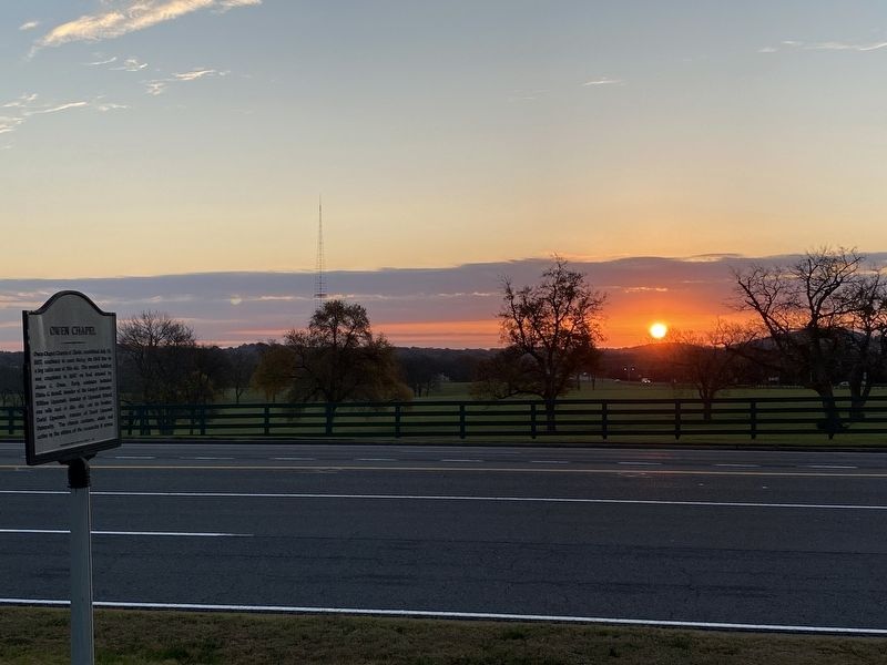
Other nearby markers. At least 8 other markers are within 2 miles of this marker, measured as the crow flies. Mountview (approx. 0.4 miles away); Lipscomb Elementary School (approx. 0.9 miles away); WSM Broadcasting Transmitter & Antenna (approx. 0.9 miles away); Midway Plantation Slave Cemetery (approx. one mile away); The WSM Tower (approx. one mile away); The Stone Box Indian Site (approx. 1.8 miles away); Knox-Crockett House (approx. 1.8 miles away); Alexander Smith House Twenty-Four Trees (approx. 2 miles away). Touch for a list and map of all markers in Brentwood.
Credits. This page was last revised on November 13, 2020. It was originally submitted on November 13, 2020, by Darren Jefferson Clay of Duluth, Georgia. This page has been viewed 373 times since then and 75 times this year. Last updated on November 13, 2020, by Darren Jefferson Clay of Duluth, Georgia. Photos: 1, 2, 3. submitted on November 13, 2020, by Darren Jefferson Clay of Duluth, Georgia. • J. Makali Bruton was the editor who published this page.


