Survivor of the Past
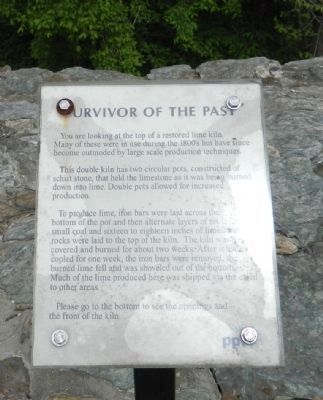
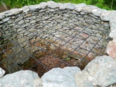
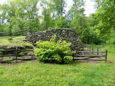
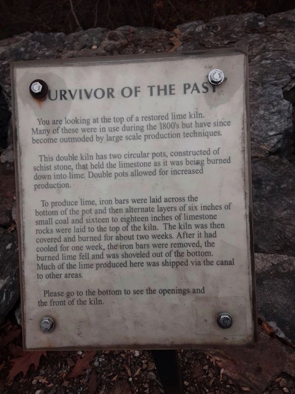
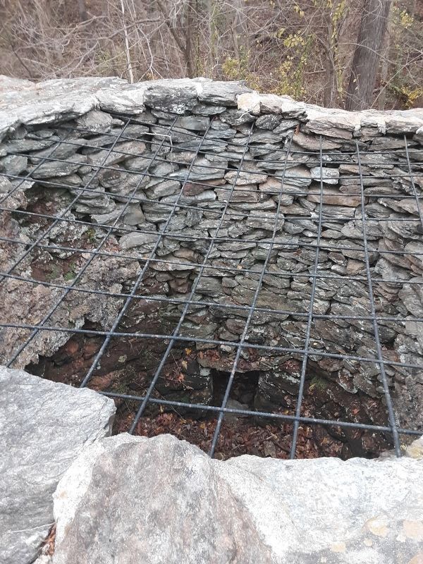
You are looking at the top of a restored lime kiln. Many of these were in use during the 1800's but have since become outmoded by large scale production techniques.
This double kiln has two circular pots, constructed of schist stone that held the limestone as it was being burned down into lime. Double pots allowed for increased production.
To produce lime, iron bars were laid across the bottom of the pot and then alternate layers of six-feet of small coal and sixteen to eighteen inches of limestone rocks were laid to the top of the kiln. The kiln was then covered and burned for about two weeks. After it had cooled for one week, the iron bars were removed, the burned lime fell and was shoveled out of the bottom. Much of the lime produced here was shipped via the canal to other areas.
Please go to the bottom to see the openings and the front of the kiln.
Erected by PPL Corporation.
Topics. This historical marker is listed in these topic lists: Industry & Commerce • Waterways & Vessels.
Location. 39° 48.842′ N, 76° 19.735′ W. Marker is near Holtwood, Pennsylvania,
this page online

Regionally, this marker is in South-Central Pennsylvania, specifically in Pennsylvania Dutch Country, in the Susquehanna Valley, and in Greater Harrisburg. It is also in the American Northeast and in the Mid-Atlantic. Globally, it is in North America, the Western Hemisphere, the Western World, and the Anglosphere. Historically, it finds itself in what was once the Haudenosaunee (Iroquois) Confederacy and also one of the original Thirteen Colonies.
Other nearby markers. At least 8 other markers are within 3 miles of this marker, measured as the crow flies: Lock No. 12 (within shouting distance of this marker); The Locks (approx. 1½ miles away); The Susquehanna & Tidewater Canal (approx. 1½ miles away); The Canal Community (approx. 1½ miles away); The Canal Boats (approx. 1½ miles away);
Credits. This page was last revised on February 7, 2023. It was originally submitted on May 16, 2011, by Bill Pfingsten of Bel Air, Maryland. This page has been viewed 897 times since then and 14 times this year. Last updated on November 13, 2020, by Carl Gordon Moore Jr. of North East, Maryland. Photos: 1, 2, 3. submitted on May 16, 2011, by Bill Pfingsten of Bel Air, Maryland. 4, 5. submitted on November 16, 2020, by Carl Gordon Moore Jr. of North East, Maryland.
