
Viola in Fulton County, Arkansas — The American South (West South Central)
Viola Cemetery
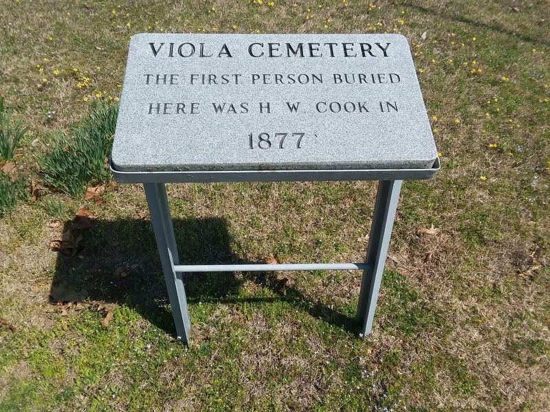
Photographed by Craig Doda, April 6, 2019
1. Viola Cemetery Marker
Topics. This historical marker is listed in this topic list: Cemeteries & Burial Sites. A significant historical year for this entry is 1877.
Location. 36° 23.6′ N, 91° 58.458′ W. Marker is in Viola, Arkansas, in Fulton County. It can be reached from South 2nd Street (County Road 181) 0.3 miles north of Ash Street, on the right when traveling north. Touch for map. Marker is at or near this postal address: 72 South 2nd Street, Viola AR 72583, United States of America. Touch for directions.

Regionally, this marker is on Arkansas’ Ozark Plateau. It is also in the American South, specifically in the Upper South, and in the Ozarks. Globally, it is in North America, the Western Hemisphere, the Western World, and the Anglosphere. Historically, it finds itself in what was once the territory of the Mississippian Culture, the Louisiana Purchase, one of the Confederate States of America, and the Antebellum South.
this page online
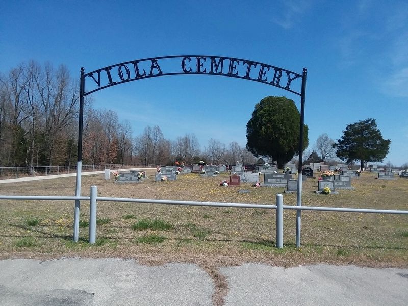
Photographed by Craig Doda, April 6, 2019
2. Viola Cemetery Marker
Credits. This page was last revised on November 16, 2020. It was originally submitted on November 14, 2020, by Craig Doda of Napoleon, Ohio. This page has been viewed 268 times since then and 21 times this year. Photos: 1, 2. submitted on November 14, 2020, by Craig Doda of Napoleon, Ohio. • Devry Becker Jones was the editor who published this page.
