New Dorp Beach on Staten Island in Richmond County, New York — The American Northeast (Mid-Atlantic)
Miller Field
Photographed by Larry Gertner, May 8, 2018
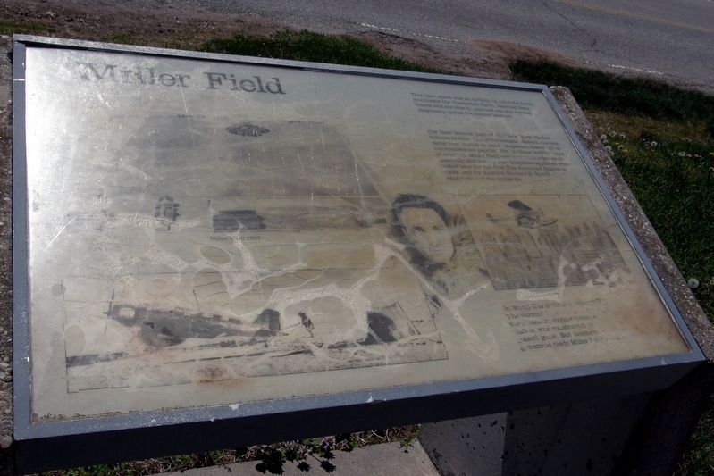
1. Miller Field wayside
This open space was an airfield. In 1919 the Army purchased the Vanderbilt Farm, removed trees, fences and shrubbery, and laid one sod runway diagonally across the cleared pasture.
The base became part of the New York harbor defense system. Out of the hangar, down a concrete ramp now buried in sand, seaplanes roared off on reconnaissance patrols. Yet, in those toddler days of aviation, Miller Field was more important as an assembly and testing site. Amphibious planes were tested here for the first Pan American flights in 1926 and for Admiral Richard E. Byrd’s exploration of the Antarctic.
In World War II the surveillance (ILLEGIBLE). The current (ILLEGIBLE) the parachute drying tower, a (ILLEGIBLE) station was constructed to (ILLEGIBLE) coastal guns. Bur development of (ILLEGIBLE) armament made Miller Field (obsolete?).
Topics. This historical marker is listed in these topic lists: Exploration • Parks & Recreational Areas • War, World II. A significant historical year for this entry is 1919.
Location. Marker has been permanently removed. It was located near 40° 34.103′ N, 74° 5.699′ W. Marker was on Staten Island,
this page online
We have been informed that this marker is no longer there and will not be replaced. This page is an archival view of what was.
Regionally, this marker was in New York City. It was also in the American Northeast, in the Mid-Atlantic, and on the Eastern Seaboard. Globally, it was in the North Atlantic Region, North America, the Western Hemisphere, the Western World, and the Anglosphere. Historically, it found itself in what was once New Netherland and also one of the original Thirteen Colonies.

Other nearby markers. At least 8 other markers are within 2 miles of this location, measured as the crow flies: 102nd Observation Squadron (a few steps from this marker); New Dorp Beach Memorial (approx. 0.2 miles away); Midland Beach Veterans Memorial (approx. 0.3 miles away); Corporal Allan F. Kivlehan Park (approx. 0.3 miles away); New Dorp WWII Memorial (approx. 1.1 miles away);

Photographed by Larry Gertner, May 8, 2018
2. Miller Field wayside site
Park Headquarters building
Another marker is no longer nearby. Elm Tree Light (was here, next to this marker but has been permanently removed).
More about this marker. The marker was near the Miller Field Park Headquarters building. Parts of the text were in very poor to unreadable condition. Those substantial concrete supports have been removed, making it very unlikely that this will ever be replaced.
Also see . . .
1. Miller Field (Staten Island). Wikipedia entry (Submitted on November 14, 2020, by Larry Gertner of New York, New York.)
2. Abandoned & Little-Known Airfields: New York City, Staten Island. Miller Field is one of the entries. (Submitted on November 14, 2020, by Larry Gertner of New York, New York.)
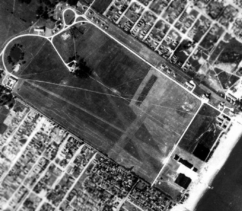
Photographed by Abandoned & Little-known Airfields, 1924
3. Miller Field, 1924
As an Army Air Corps station

Photographed by Google Earth, 2020
4. Miller Field, 2020
As a unit of Gateway National Park
Photographed by Larry Gertner, August 1, 2008
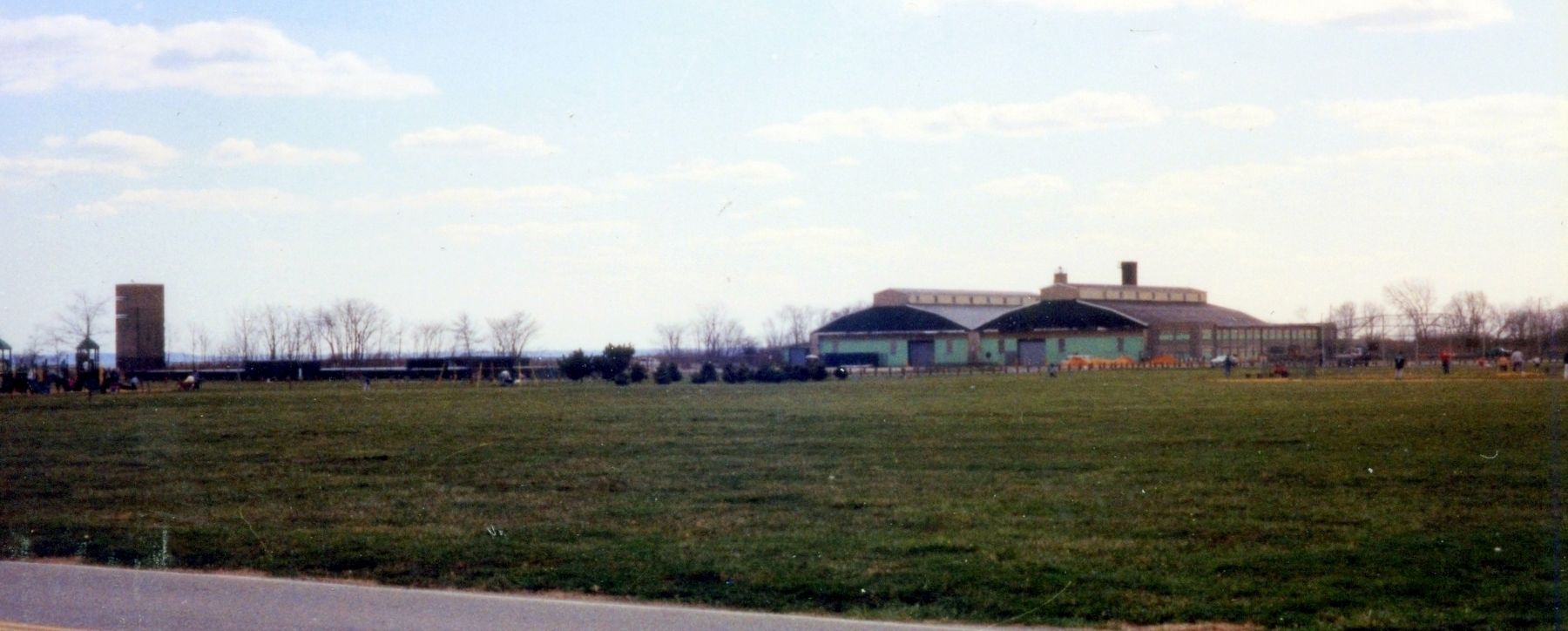
5. Miller Field landmarks
The gun director tower, left. The hangars, with the Elms Tree Light and parachute drying tower beyond.
Photographed by Larry Gertner, July 16, 2017
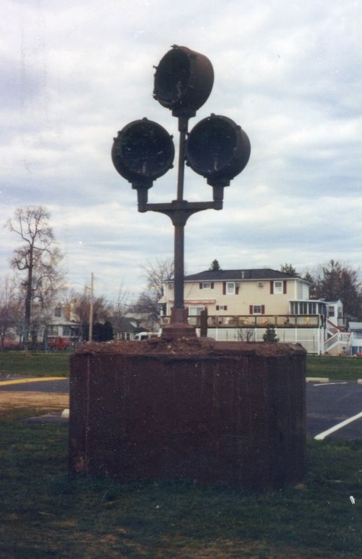
6. Miller Field remnant
A bank of runway lights.

Photographed by Abandoned & Little-known Airfields, 1928
7. Byrd's Antarctic Expedition
Ford Triplane being tested at Miller Field.
Photographed by Larry Gertner, June 1, 2018
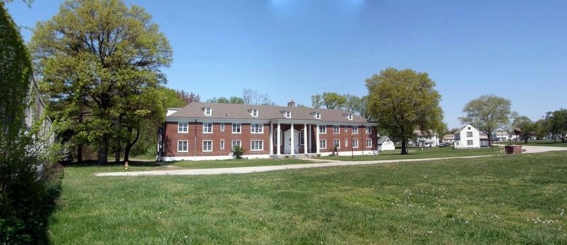
8. Miller Field, the former Air Corps quarters area
Photographed by Larry Gertner, May 8, 2018
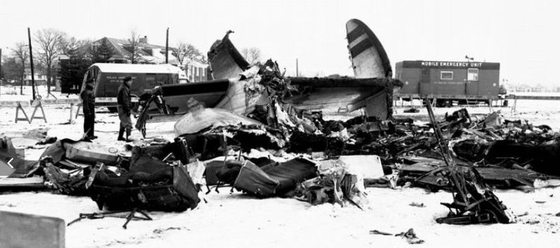
9. Miller Field tragedy, 1960
The TWA Constellation involved in the mid-air collision over NYC crashed in this area.
Credits. This page was last revised on January 6, 2025. It was originally submitted on November 14, 2020, by Larry Gertner of New York, New York. This page has been viewed 960 times since then and 39 times this year. Photos: 1, 2, 3, 4, 5, 6, 7, 8, 9. submitted on November 14, 2020, by Larry Gertner of New York, New York.
