Bristol in Bucks County, Pennsylvania — The American Northeast (Mid-Atlantic)
Lock 3
At the Heart of Commerce
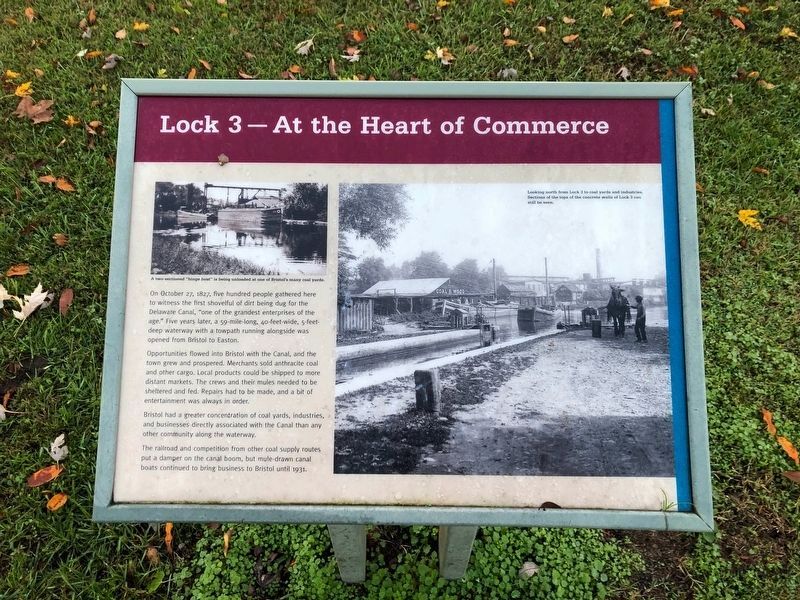
On October 27, 1827, five hundred people gathered here to witness the first shovelful of dirt being dug for the Delaware Canal, "one of the grandest enterprises of the age." Five years later, a 59-mile long, 40-feet-wide, 5-feet-deep waterway with a towpath running alongside was opened from Bristol to Easton.
Opportunities flowed into Bristol with the Canal, and the town grew and prospered. Merchants sold anthracite coal and other cargo. Local products could be shipped to more distant markets. The crews and their mules needed to be sheltered and fed. Repairs had to be made, and a bit of entertainment was always in order.
Bristol had a greater concentration of coal yards, industries and businesses directly associated with the Canal than any other community along the waterway.
The railroad and competition from other coal supply routes put a damper on the canal boom, but mule-drawn canal boats continued to bring business to Bristol until 1931.
[Captions:]
A two-sectioned "hinge boat" is being unloaded at one of Bristol's many coal yards.
Looking north from Lock 3 to coal yards and industries. Sections of the tops of the concrete walls of Lock 3 can still be seen.
Topics and series. This historical marker is listed in these topic lists: Animals • Industry & Commerce • Waterways & Vessels. In addition, it is included in the Delaware Canal (AKA Delaware Division of the Pennsylvania Canal) series list. A significant historical date for this entry is October 27, 1827.
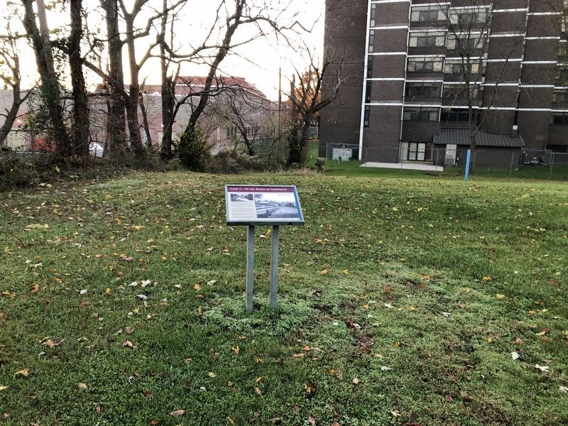
Location. 40° 5.947′ N, 74° 51.512′ W. Marker is in Bristol, Pennsylvania, in Bucks County. Marker can be reached from Old U.S. 13 near Mulberry Street, on the right when traveling west. The marker is in Bristol Spurline Park behind the fence north of the Bucks County Housing Authority. Touch for map. Marker is at or near this postal address: 205 Pond St, Bristol PA 19007, United States of America. Touch for directions.
Other nearby markers. At least 8 other markers are within walking distance of this marker. Abraham Lincoln (about 600 feet away, measured in a direct line); The Firehouse (about 600 feet away); Lock 2 (about 700 feet away); S/Sgt. James B. Boyle (about 700 feet away); The Bend before the End (approx. ¼ mile away); Lock 1 (approx. ¼ mile away); The Locktender's House at Lock 1 (approx. ¼ mile away); Marsh Ecology in an Urban Setting (approx. 0.4 miles away). Touch for a list and map of all markers in Bristol.
Credits. This page was last revised on November 14, 2020. It was originally submitted on November 14, 2020, by Devry Becker Jones of Washington, District of Columbia. This page has been viewed 154 times since then and 17 times this year. Photos: 1, 2. submitted on November 14, 2020, by Devry Becker Jones of Washington, District of Columbia.
Editor’s want-list for this marker. A photo of the section of the tops of the concrete walls of Lock 3 that remains visible. • Can you help?

