Bristol in Bucks County, Pennsylvania — The American Northeast (Mid-Atlantic)
Lock 1
The Canal's First and Last
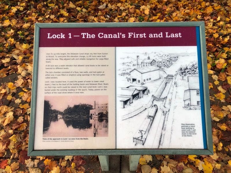
Over its 59-mile length, the Delaware Canal drops 165 feet from Easton to Bristol. To overcome this elevation change, 23 lift locks were built along the way. They allowed safe and reliable navigation for cargo-filled boats.
A lift lock was a water elevator that allowed canal boats to be raised or lowered to different levels.
The lock chamber consisted of a floor, two walls, and lock gates at either end. It was filled or emptied using openings in the lock gates called wickets.
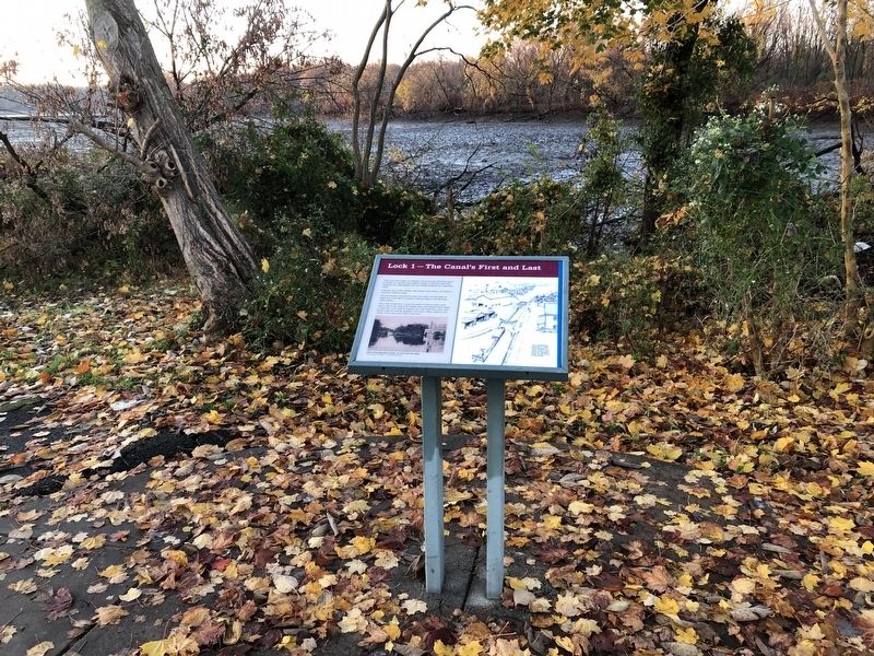
Lock 1 was located here. It used the power of water to lower canal boats 7 feet to the level of the holding basin and Delaware River. Boats on their trips north could be raised to the next canal level. Lock 1 was buried under the existing roadway in the 1950's. Today, pavers on the surface of the road show where it once was.
Topics and series. This historical marker is listed in this topic list: Waterways & Vessels. In addition, it is included in the Delaware Canal (AKA Delaware Division of the Pennsylvania Canal) series list.
Location. 40° 5.732′ N, 74° 51.625′ W. Marker is in Bristol, Pennsylvania, in Bucks County. Marker is on Canals End Road just west of Nichols Memorial Drive, on the left when traveling west. Touch for map. Marker is at or near this postal address: 1 Pond St, Bristol PA 19007, United States of America. Touch for directions.
Other nearby markers. At least 8 other markers are within walking distance of this marker. The Locktender's House at Lock 1 (here, next to this marker); The Bend before the End (within shouting distance of this marker); Lock 2 (about 800 feet away, measured in a direct line); Marsh Ecology in an Urban Setting (about 800 feet away); In the Basin (approx. 0.2 miles away); Fueling the Economy (approx. 0.2 miles away); Working with the Tide (approx. 0.2 miles away); Where the Canal Met the River (approx. 0.2 miles away). Touch for a list and map of all markers in Bristol.
Credits. This page was last revised on November 14, 2020. It was originally submitted on November 14, 2020, by Devry Becker Jones of Washington, District of Columbia. This page has been viewed 286 times since then and 36 times this year. Photos: 1, 2. submitted on November 14, 2020, by Devry Becker Jones of Washington, District of Columbia.

