The Traveling Jail Cell
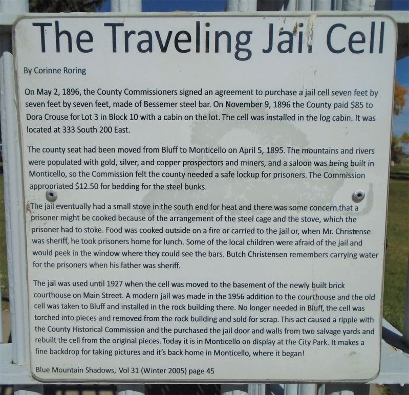
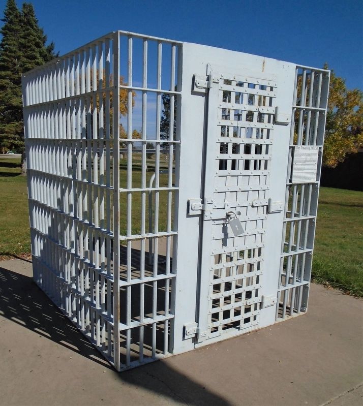
On May 2, 1896, the County Commissioners signed an agreement to purchase a jail cell seven feet by seven feet by seven feet, made of Bessemer steel bar. On November 9, 1896 the County paid $85 to Dora Crouse for Lot 3 in Block 10 with a cabin on the lot. The cell was installed in the log cabin. It was located at 333 South 200 East.
The county seat had been moved from Bluff to Monticello on April 5, 1895. The mountains and rivers were populated with gold, silver, and copper prospectors and miners, and a saloon was being built in Monticello, so the Commission felt the county needed a safe lockup for prisoners. The Commission appropriated $12.50 for bedding for the steel bunks.
The jail eventually had a small stove in the south end for heat and there was some concern that a prisoner might be cooked because of the arrangement of the steel cage and the stove, which the prisoner had to stoke. Food was cooked outside on a fire or carried to the jail or, when Mr. Christense[n] was sheriff, he took prisoners home for lunch. Some of the local children were afraid of the jail and would peek in the window where they could see the bars. Butch Christensen remembers carrying water for the prisoners when his father was sheriff.
The jail was used until 1927 when the cell was moved to the basement of the newly built brick courthouse on
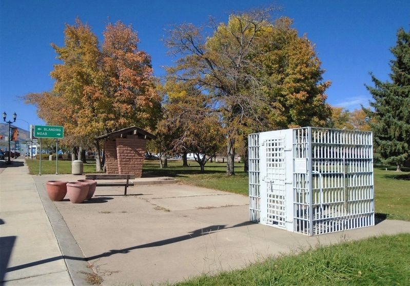
Main Street. A modern jail was made in the 1956 addition to the courthouse and the old cell was taken to Bluff and installed in the rock building there. No longer needed in Bluff, the cell was torched into pieces and removed from the rock building and sold for scrap. This act caused a ripple with the County Historical Commission and the[y] purchased the jail door and walls from two salvage yards and rebuilt the cell from the original pieces. Today it is in Monticello on display at the City Park. It makes a fine backdrop for taking pictures and it's back home in Monticello, where it belongs!
By Corinne Roring
Blue Mountain Shadows, Vol 31 (Winter 2005) page 45
Topics. This historical marker is listed in this topic list: Man-Made Features. A significant historical date for this entry is April 5, 1895.
Location. 37° 52.367′ N, 109° 20.505′ W. Marker is in Monticello, Utah, in San Juan County. Marker is on Center Street (U.S. 491) east of Main Street (U.S. 191), on the left when traveling east. Touch for map. Marker is at or near this postal address: Veterans Memorial Park, Monticello UT 84535, United States of America. Touch for directions.
Other nearby markers. At least 8 other markers are within 6 miles of this marker, measured as the crow flies. Veterans Memorial (within shouting distance of this marker); Monticello (approx. 0.2 miles away); Cowboy Tack Shed (approx. 0.2 miles away); Sod Roof Cabin (approx. 0.2 miles
Also see . . . Monticello at Utah History Encyclopedia. (Submitted on November 14, 2020, by William Fischer, Jr. of Scranton, Pennsylvania.)
Credits. This page was last revised on November 14, 2020. It was originally submitted on November 14, 2020, by William Fischer, Jr. of Scranton, Pennsylvania. This page has been viewed 215 times since then and 24 times this year. Photos: 1, 2, 3. submitted on November 14, 2020, by William Fischer, Jr. of Scranton, Pennsylvania.


