
Near Rhyolite in Nye County, Nevada — The American Mountains (Southwest)
Titus Canyon Road
Photographed By Craig Baker, October 27, 2020
1. Titus Canyon Road Marker
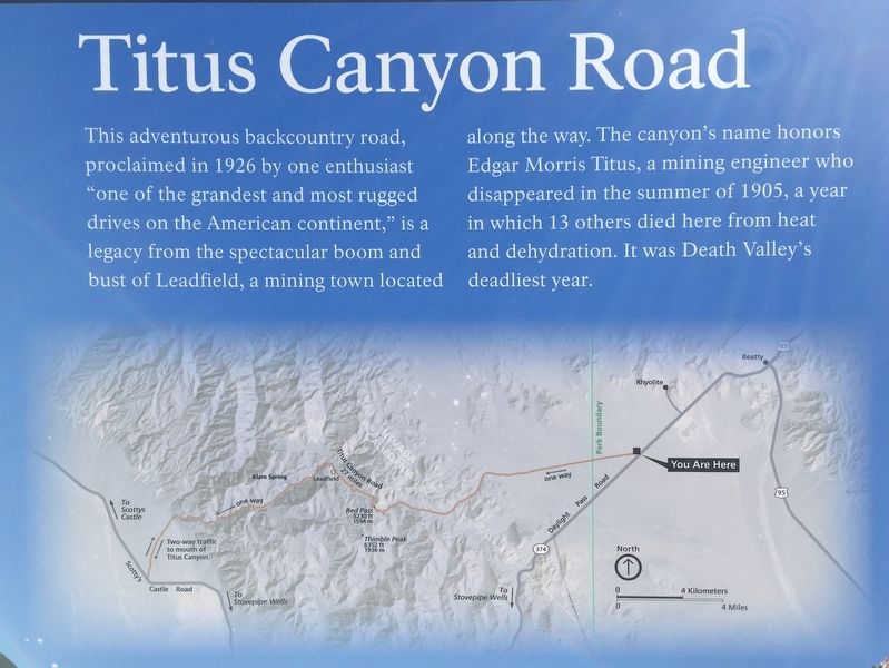
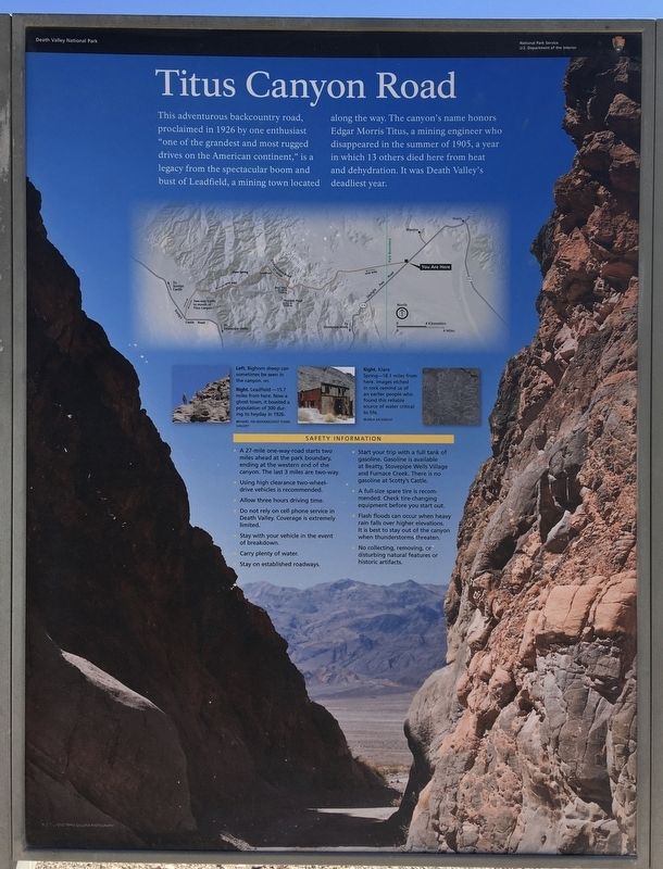
This adventurous backcountry road, proclaimed in 1926 by one enthusiast "one of the grandest and most rugged drives on the American continent," is a legacy from the spectacular boom and bust of Leadfield, a mining town located along the way. The canyon's name honors Edgar Morris Titus, a mining engineer who disappeared in the summer of 1905, a year in which 13 others died here from heat and dehydration. It was Death Valley's deadliest year.
captions:
Bighorn sheep can sometimes be seen in the canyon.
Leadfield — 15.7 miles from here. Now a ghost town, it boasted a population of 300 during its heyday in 1926.
Klare Spring — 18.1 miles from here. Images etched in rock remind us of an earlier people who found this reliable source of water critical to life.
Safety Information
A 27-mile one-way-road starts two miles ahead at the park boundary, ending at the western end of the canyon. The last 3 miles are two-way. Using high clearance two-wheel-drive vehicles is recommended.
Allow three hours driving time. Do not rely on cell phone service in Death Valley. Coverage is extremely limited.
Stay with your vehicle in the event of breakdown. Carry plenty of water. Stay on established roadways.
Start your trip with
this page online
A full-size spare tire is recommended. Check tire-changing equipment before you start out.
Flash floods can occur when heavy rain falls over higher elevations. It is best to stay out of the canyon when thunderstorms threaten.
No collecting, removing, or disturbing natural features or historic artifacts.
Erected by National Park Service.
Topics. This historical marker is listed in these topic lists: Roads & Vehicles • Settlements & Settlers. A significant historical year for this entry is 1926.
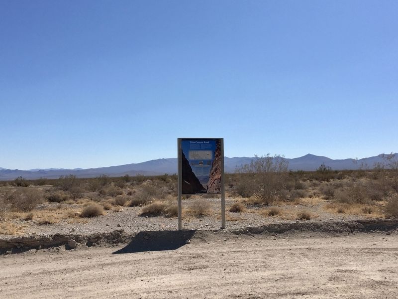
Location. 36° 51.536′ N, 116° 50.828′ W. Marker is near Rhyolite, Nevada, in Nye County. Marker is on Titus Canyon Road just west of Nevada Route 374, on the left when traveling west. Touch for map. Marker is in this post office area: Beatty NV 89003, United States of America. Touch for directions.
Other nearby markers. At least 8 other markers are within 6 miles of this marker, measured as the crow flies. Rhyolite (approx. 2.4 miles away); Rhyolite's District of Shadows (approx. 2.7 miles away); Tom Kelly Bottle House (approx. 2.8 miles away); Welcome to Rhyolite (approx. 2.8 miles away); Cook Bank Building (approx. 3.1 miles away); Rhyolite Train Depot
Photographed By Craig Baker, October 27, 2020
2. Titus Canyon Road Marker
Related marker. Click here for another marker that is related to this marker. — Leadfield.
Also see . . . Titus Canyon Road. Death Valley National Park website. Also check the Alerts for road closures. (Submitted on November 3, 2020.)
Photographed By Craig Baker, October 27, 2020
3. Titus Canyon Road Marker
Photographed By Craig Baker, October 27, 2020
4. Titus Canyon Road Marker
Photographed By Craig Baker, October 27, 2020
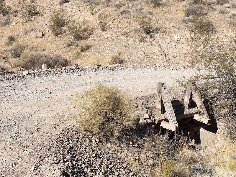
5. Original Bridge
Built in 1926 and still in use today. Located 11 miles west of Highway 374.
Photographed By Craig Baker, October 27, 2020
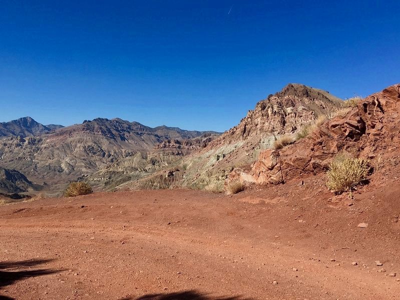
6. Red Pass
Photographed By Craig Baker, October 27, 2020
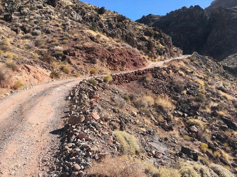
7. Titus Canyon Road
Photographed By Craig Baker, October 27, 2020
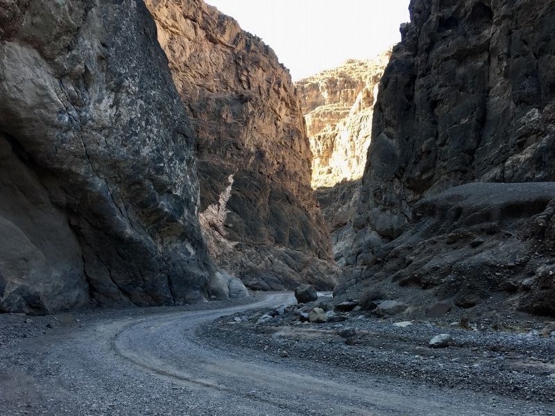
8. Titus Canyon Road
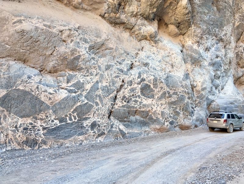
Photographed By Craig Baker, October 27, 2020
9. Megabreccia
Large rocks formed together.
Credits. This page was last revised on April 13, 2022. It was originally submitted on November 3, 2020, by Craig Baker of Sylmar, California. This page has been viewed 327 times since then and 36 times this year. Last updated on November 15, 2020, by Craig Baker of Sylmar, California. Photos: 1, 2, 3, 4. submitted on November 3, 2020, by Craig Baker of Sylmar, California. 5, 6. submitted on November 15, 2020, by Craig Baker of Sylmar, California. 7, 8. submitted on November 3, 2020, by Craig Baker of Sylmar, California. 9. submitted on November 15, 2020, by Craig Baker of Sylmar, California. • Syd Whittle was the editor who published this page.

