Bristol in Bucks County, Pennsylvania — The American Northeast (Mid-Atlantic)
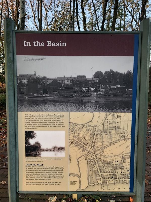
In the Basin
Whether they were headed down the Delaware River or making return trips north, canal boats needed a place to wait in Bristol Borough. A five-acre Basin located between Lock 1 and the Tide Lock provided that space. Some boats were waiting to be gathered together and towed on the River. Others had cargo to be delivered directly to the businesses that stood on the north side of the Basin. Empty boats lined up until it was time to head up the Canal again.
Changing Needs
When the Delaware Canal closed for business in 1931, the need for the Basin was gone. The decision was made to start filling it in. By October of that year, a nearly one-mile-long pipeline was pumping sand and mud from the Delaware River into the Basin. Twelve abandoned canal boats were buried in the silt. In the 1950's, the local business association obtained permission to fill in the remaining section. One and a half acres of solid ground were added to Bristol Borough in 48 hours.
Today the municipal parking lot that serves Mill Street and Riverfront Park covers the area where the Basin once was.
Topics and series. This historical marker is listed in these topic lists: Industry & Commerce • Waterways & Vessels. In addition, it is included in the Delaware Canal (AKA Delaware Division of the Pennsylvania Canal) series list. A significant historical year for this entry is 1931.
Location. 40° 5.631′ N, 74° 51.479′ W. Marker is in Bristol, Pennsylvania, in Bucks County. Marker is on Basin Park. Touch for map. Marker is at or near this postal address: 183 Basin Park, Bristol PA 19007, United States of America. Touch for directions.
Other nearby markers. At least 8 other markers are within walking distance of this marker. Fueling the Economy (here, next to this marker); Working with the Tide (here, next to this marker); Marsh Ecology in an Urban Setting (within shouting distance of this marker); Where the Canal Met the River (within shouting distance of this marker); Harriet Ross Tubman (within shouting distance of this marker); The Puerto Rican Monument of Bristol (within shouting distance of this marker); Tidal Delaware Water Trail (within shouting distance of this marker); Columbus 500 Celebration (about 500 feet away, measured in a direct line). Touch for a list and map of all markers in Bristol.
Related marker. Click here for another marker that is related to this marker. This marker has replaced the linked marker.
Credits. This page was last revised on November 15, 2020. It was originally submitted on November 15, 2020, by Devry Becker Jones of Washington, District of Columbia. This page has been viewed 124 times since then and 14 times this year. Photo 1. submitted on November 15, 2020, by Devry Becker Jones of Washington, District of Columbia.
Editor’s want-list for this marker. A wide shot of the marker in context. • Can you help?
