Maceo in Daviess County, Kentucky — The American South (East South Central)
Hawes Family Cemetery
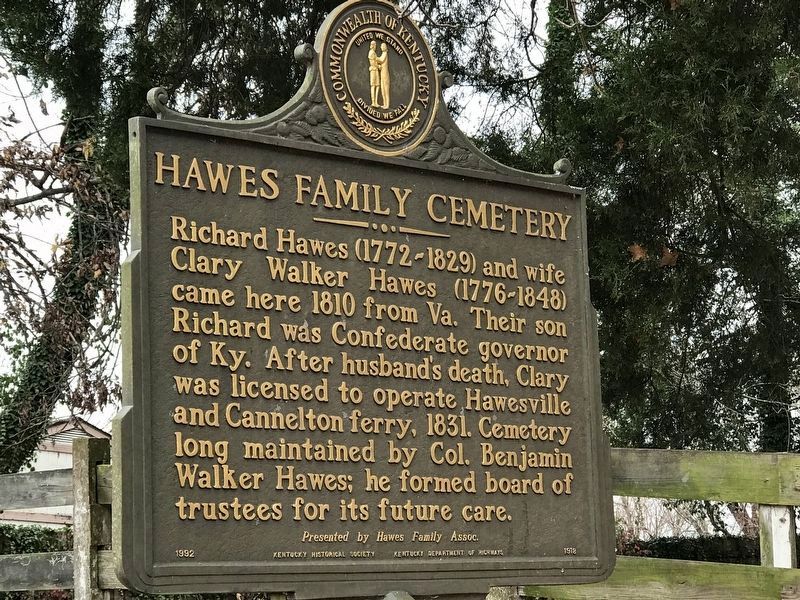
Photographed by Duane and Tracy Marsteller, November 14, 2020
1. Hawes Family Cemetery Marker
Erected 1992 by Kentucky Historical Society and Kentucky Department of Highways; Presented by Hawes Family Assoc. (Marker Number 1918.)
Topics and series. This historical marker is listed in these topic lists: Cemeteries & Burial Sites • Settlements & Settlers. In addition, it is included in the Kentucky Historical Society series list. A significant historical year for this entry is 1810.
Location. 37° 50.807′ N, 86° 58.2′ W. Marker is in Maceo, Kentucky, in Daviess County. It is on Bolling Heights Lane 0.1 miles north of Kentucky Road 2116, on the right when traveling north. Touch for map. Marker is at or near this postal address: 8975 Bolling Heights Lane, Maceo KY 42355, United States of America. Touch for directions.

Regionally, this marker is in the Tri-State Region and in the
this page online
Other nearby markers. At least 8 other markers are within 5 miles of this marker, measured as the crow flies: Uncle Tom Lived Here (approx. 2.6 miles away); Home of Thomas Clay (approx. 2.6 miles away); Algernon Sidney Thruston (approx. 4.4 miles away); Abraham Lincoln (approx. 4.6 miles away in Indiana); A Rocky Beginning (approx. 4.6 miles away in Indiana); Mathias Sharp House (approx. 4.7 miles away in Indiana); Historical Site – Lankford Cave (approx. 4.7 miles away in Indiana); Jan. 29, 1937 (approx. 4.7 miles away in Indiana).
Also see . . .
1. Hawes Family Cemetery. Family website with a cemetery map and registry with links to the individuals, their tombstone pictures, and information on each person buried there. (Submitted on November 16, 2020, by Duane and Tracy Marsteller of Murfreesboro, Tennessee.)
2. Hawes Family Cemetery | Explore KY History.
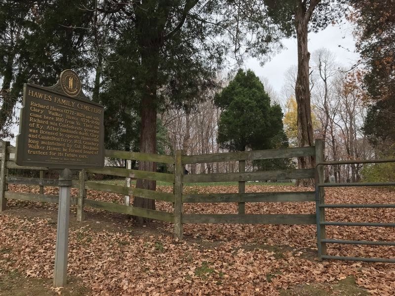
Photographed by Duane and Tracy Marsteller, November 14, 2020
2. Hawes Family Cemetery Marker
Credits. This page was last revised on September 4, 2026. It was originally submitted on November 16, 2020, by Duane and Tracy Marsteller of Murfreesboro, Tennessee. This page has been viewed 837 times since then and 75 times this year. Photos: 1, 2. submitted on November 16, 2020, by Duane and Tracy Marsteller of Murfreesboro, Tennessee.
