Near Hawesville in Hancock County, Kentucky — The American South (East South Central)
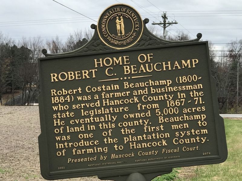
Home of Robert C. Beauchamp
⎯⎯⎯
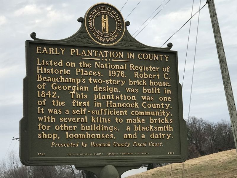
Early Plantation in County
Photographed by Duane and Tracy Marsteller, November 14, 2020
1. Home of Robert C. Beauchamp Marker
Erected 2002 by Kentucky Historical Society and Kentucky Department of Highways; Presented by Hancock County Fiscal Court. (Marker Number 2078.)
Topics and series. This historical marker is listed in these topic lists: Agriculture • Architecture • Industry & Commerce. In addition, it is included in the Kentucky Historical Society series list. A significant historical year for this entry is 1800.
Location. 37° 55.468′ N, 86° 48.5′ W. Marker
this page online

Regionally, this marker is in the Tri-State Region and in the Western Coal Field. It is also in the American South, specifically in the Upper South, and in the Ohio River Valley. Globally, it is in North America, the Western Hemisphere, the Western World, and the Anglosphere. Historically, it finds itself in what was once the territory of the Mississippian Culture and also the Antebellum South.
Other nearby markers. At least 8 other markers are within 4 miles of this marker, measured as the crow flies: Veterans Memorial (approx. 2.8 miles away in Indiana); A Bit of Swiss (approx. 2.8 miles away in Indiana); Tell City Hall (approx. 2.8 miles away in Indiana); Perry County Indiana Honor Roll Memorial (approx. 2.8 miles away in Indiana); Army and Air National Guard Veterans Memorial (approx. 2.9 miles away in Indiana); Captain William Davison / Steamboat Disaster
Photographed by Duane and Tracy Marsteller, November 14, 2020
2. Early Plantation in County Marker
Photographed by Duane and Tracy Marsteller, November 14, 2020
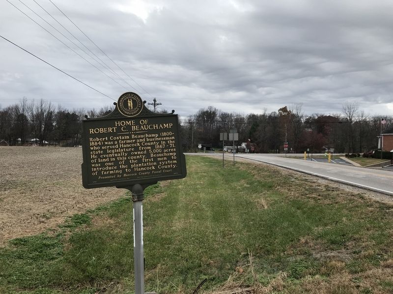
3. Home of Robert C. Beauchamp / Early Plantation in County Marker
Photographed by Duane and Tracy Marsteller, November 14, 2020
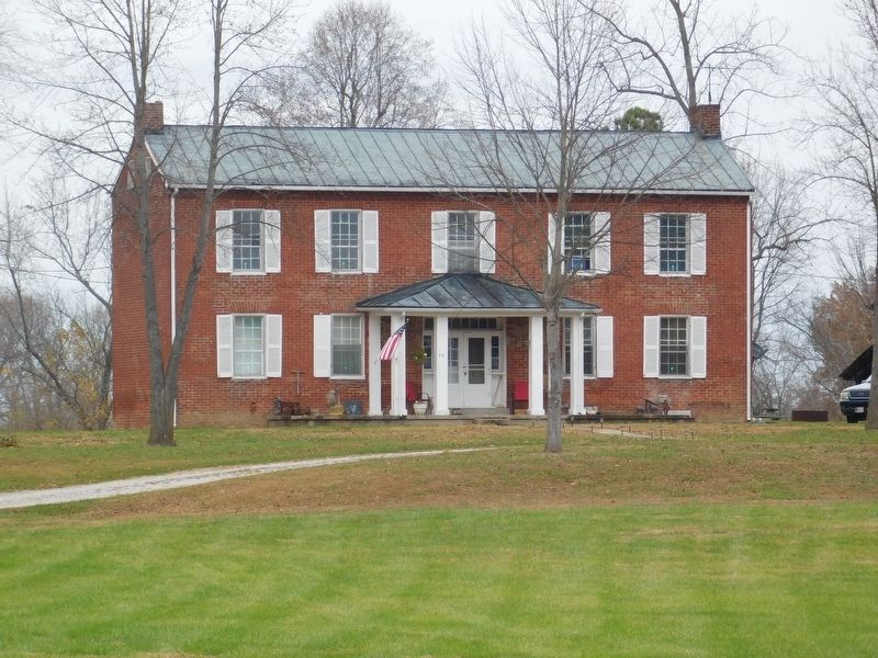
4. Robert C. Beauchamp Home
Credits. This page was last revised on December 7, 2021. It was originally submitted on November 16, 2020, by Duane and Tracy Marsteller of Murfreesboro, Tennessee. This page has been viewed 1,110 times since then and 36 times this year. Photos: 1, 2, 3, 4. submitted on November 16, 2020, by Duane and Tracy Marsteller of Murfreesboro, Tennessee.
