Montague in Sussex County, New Jersey — The American Northeast (Mid-Atlantic)
Millville Historic District
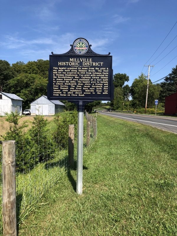
Photographed by Raymond Siwek, September 8, 2020
1. Millville Historic District Marker
This hamlet acquired its name from the grist & saw mills built along Shimers Brook. The first mill lot was acquired in 1722 from Solomon Davis & Thomas Stephenson. Two grist mills existed by the Revolutionary War. Captains Abram Shimer & James Bonnell were stationed at a fort built to protect the mills. The hamlet grew to include a school, blacksmith shop, store, a Grange and river ferries. The Hon. Jacob Hornbeck and Isaac Bonnell who lived here were both New Jersey state legislators. Millville Road was created to allow direct access to the mills from farms on Clove Road.
Erected by Sussex County, New Jersey.
Topics. This historical marker is listed in these topic lists: Colonial Era • Industry & Commerce • Patriots & Patriotism • War, US Revolutionary.
Location. 41° 18.41′ N, 74° 46.572′ W. Marker is in Montague, New Jersey, in Sussex County. It is at the intersection of Clove Road (County Route 653) and Millville Road, on the right when traveling south on Clove Road. Touch for map. Marker is in this post office area: Montague NJ 07827, United States
this page online

Regionally, this marker is in North Jersey and in the New York City Metropolitan Area. It is also in the American Northeast and in the Mid-Atlantic. Globally, it is in North America, the Western Hemisphere, the Western World, and the Anglosphere. Historically, it finds itself in what was once New Netherland and also one of the original Thirteen Colonies.
Other nearby markers. At least 8 other markers are within 2 miles of this marker, measured as the crow flies: Old Mine Road (approx. half a mile away); a different marker also named Millville Historic District (approx. half a mile away); Brick House Village (approx. one mile away); Gifford Pinchot (approx. 1.4 miles away in Pennsylvania); The Metz Ice Plant c. 1869 (approx. 1.4 miles away in Pennsylvania); Pennsylvania (approx. 1.4 miles away in Pennsylvania); Benjamin Alden Bidlack (approx. 1½ miles away in Pennsylvania); Milford United Methodist Church (approx. 1.6 miles away in Pennsylvania). Touch for a list and map of all markers in Montague.
Related marker. Click here for another marker that is related to this marker. An identical
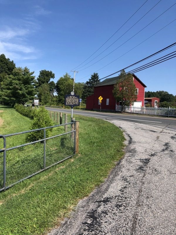
Photographed by Raymond Siwek, September 8, 2020
2. Millville Historic District Marker
Credits. This page was last revised on August 27, 2023. It was originally submitted on November 18, 2020, by Raymond Siwek of Morristown, New Jersey. This page has been viewed 485 times since then and 43 times this year. Photos: 1, 2. submitted on November 18, 2020, by Raymond Siwek of Morristown, New Jersey. • Michael Herrick was the editor who published this page.
