Summer of Flames
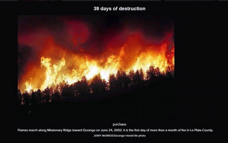
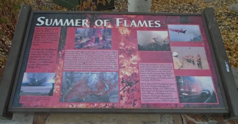
On the afternoon of June 9, 2002, a human-caused spark ignited the Missionary Ridge Fire, and a new chapter in the history of our community began.
On June 25, firefighters were further taxed when the Valley Fire started in the Falls Creeks subdivision, about 1.5 miles west of the Missionary Ridge Fire.
Four years of drought set the stage for catastrophic wildfires across the West. Throughout the nation, over one million acres of forest land had already burned by mid June and many wildfires were of record-setting size, including the Hayman Fire in Colorado, the Biscuit Fire in Oregon, and the Rodeo-Chediski Fire in Arizona. In southwest Colorado, the mountains had received only 20% of their normal snowpack, temperatures were above average, and the forest floor was littered with a buildup of duff and brush.
Although firefighters were on the scene within minutes, the fire spread at an alarming rate, consuming more than 6,000 acres in the first four hours. In the coming days, the fire grew to 25 miles long, with 800-foot-high flames, and smoke plumes reaching 44,000 feet.
More than 6,000 firefighters spent the next 38 days fighting the Missionary Ridge and Valley fires. The final toll included one fatality, Alan Wyatt, a firefighter from Oregon; 56 homes damaged or destroyed; 70,485 acres burned; and a suppression
cost of $40.8 million.
[Bottom left photo caption reads]
The firestorm hits the northern end of the dry lakebed of Vallecito Reservoir on the afternoon of July 17, 2002.
Erected by La Plata County.
Topics. This historical marker is listed in these topic lists: Charity & Public Work • Disasters • Environment. A significant historical date for this entry is June 9, 2002.
Location. 37° 17.552′ N, 107° 52.421′ W. Marker is in Durango, Colorado, in La Plata County. Marker is at the intersection of Main Avenue (U.S. 550) and 26th Street, on the right when traveling north on Main Avenue. Marker is on the La Plata County Fairgrounds. Touch for map. Marker is at or near this postal address: 2600 Main Avenue, Durango CO 81301, United States of America. Touch for directions.
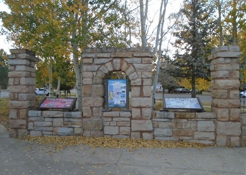
Other nearby markers. At least 8 other markers are within 2 miles of this marker, measured as the crow flies. Community of Heroes (here, next to this marker); Seasons of Healing (here, next to this marker); La Plata County Freedom Trees (within shouting distance of this marker); Southern Durango with views of Smelter Mountain (approx. 1.1 miles away); Early Durango circa 1889 (approx. 1.2 miles away); Old Main Post Office Professional Building (approx. 1.2 miles away); Jack Dempsey (approx. 1.3 miles away); The Newman Block (approx. 1.4 miles away). Touch for a list and map of all markers in Durango.
Also see . . .

This is the first in a three-part series about the 2002 Missionary Ridge Fire.
Click for more information.
Credits. This page was last revised on April 29, 2021. It was originally submitted on November 20, 2020, by William Fischer, Jr. of Scranton, Pennsylvania. This page has been viewed 133 times since then and 21 times this year. Photos: 1, 2. submitted on November 20, 2020, by William Fischer, Jr. of Scranton, Pennsylvania. 3. submitted on April 29, 2021, by Larry Gertner of New York, New York.

