North Capitol in Nashville in Davidson County, Tennessee — The American South (East South Central)
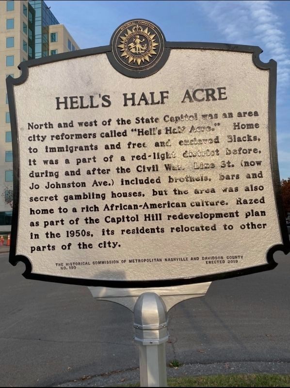
Hellís Half Acre
Erected 2019 by The Historical Commission of Metropolitan Nashville and Davidson County. (Marker Number 190.)
Topics. This historical marker is listed in these topic lists: African Americans • War, US Civil.
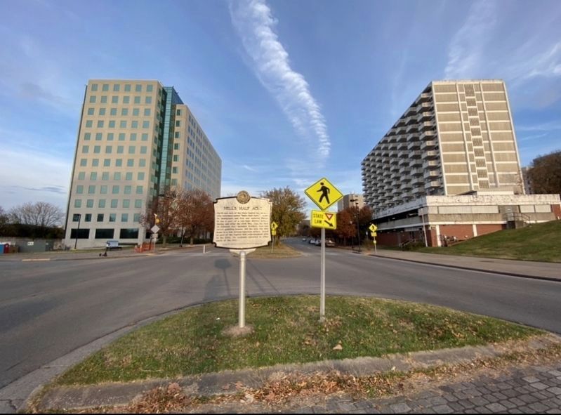
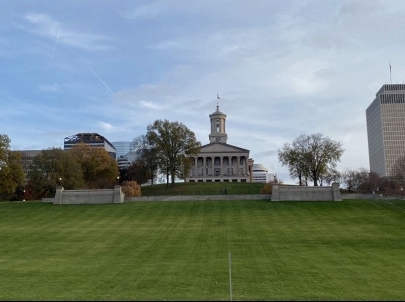
Location. 36° 10.11′ N, 86° 47.119′ W. Marker is in Nashville, Tennessee, in Davidson County. It is in North Capitol. Marker is at the intersection of James Robertson Parkway (U.S. 31) and 6th Avenue North, in the median on James Robertson Parkway. Touch for map. Marker is in this post office area: Nashville TN 37219, United States of America. Touch for directions.
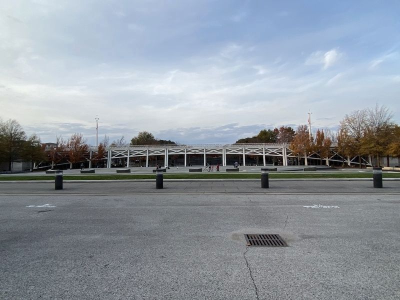
Other nearby markers. At least 8 other markers are within walking distance of this marker. America's Musical Roots in Tennessee (within shouting distance of this marker); Zero (within shouting distance of this marker); Tennessee Trails Past and Present (within shouting distance of this marker); Tennessee's Landscape (within shouting distance of this marker); Tennessee's Nature (within shouting distance of this marker); Tennessee Before Statehood (within shouting distance of this marker); The First Tennesseans (about 300 feet away, measured in a direct line); Tennessee's Foundation (about 300 feet away). Touch for a list and map of all markers in Nashville.
Credits. This page was last revised on February 7, 2023. It was originally submitted on November 21, 2020, by Darren Jefferson Clay of Duluth, Georgia. This page has been viewed 3,485 times since then and 402 times this year. Photos: 1, 2, 3, 4. submitted on November 21, 2020, by Darren Jefferson Clay of Duluth, Georgia. • Bernard Fisher was the editor who published this page.


