Fontana Dam in Swain County, North Carolina — The American South (South Atlantic)
The TVA System of Multi-purpose Dams
Built for the People of the United States of America
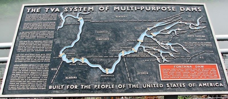
The Tennessee River has its headwaters in the mountains of Tennessee, Virginia, North Carolina and Georgia. The main stream forms at Knoxville, where the Holston and the French Broad Rivers join.
The Valley, 41,000 square miles in area, receives an average of 52 inches of rain a year. In terms of water discharged into the Ohio and Mississippi, the Tennessee River is about equal in size to the Missouri.
The Tennessee Valley Authority has harnessed the river with a multi-purpose system of dams and reservoirs which regulates floods, improves navigation, and generates electric power.
High dams on the tributaries create large storage reservoirs which hold back flood waters, releasing them when necessary to maintain navigation depths downstream, and at the same time generating electric power. The system also helps protect the lower Ohio and Mississippi valleys.
The nine main river dams, with their locks, form a navigation channel 650 miles long, from Knoxville to the Ohio River, an important arm of the Nation’s inland waterway system connecting 20 states.
Having developed virtually all the river’s power resources, TVA has built huge coal-burning steam electric plants to help serve the region’s growing power needs. TVA power is sold at wholesale to cities and rural electric cooperatives which, in turn, distribute it at retail to homes, farms, business and industry. A few industries and U.S. Government defense installations that use large amounts of power are served directly by TVA. The largest of these, using more power than a great city, are the atomic plants at Oak Ridge, Tennessee, and Paducah, Kentucky.
Topics. This historical marker is listed in these topic lists: Environment • Industry & Commerce • War, World II • Waterways & Vessels.
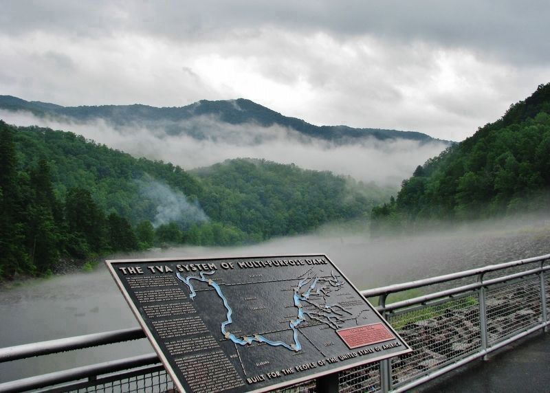
Location. 35° 26.999′ N, 83° 48.319′ W. Marker is in Fontana Dam, North Carolina, in Swain County. Marker can be reached from State Highway 28, 7.8 miles east of U.S. 129, on the left when traveling east. Marker is located at the Fontana Dam Basin overlook on the west side of the dam. Touch for map. Marker is in this post office area: Fontana Dam NC 28733, United States of America. Touch for directions.
Other nearby markers. At least 8 other markers are within 6 miles of this marker, measured as the crow flies. Welcome to Fontana Dam (a few steps from this marker); Fontana's First Stewards:
(approx. 0.2 miles away); Appalachian Trail (approx. 0.2 miles away); Fontana Dam: (approx. ¼ mile away); Fontana Dam (approx. ¼ mile away); a different marker also named Appalachian Trail (approx. half a mile away); a different marker also named Fontana Dam (approx. 0.6 miles away); Shaping the Flow of the Cheoah River (approx. 5.4 miles away).
Regarding The TVA System of Multi-purpose Dams. Fontana Dam and associated infrastructure was listed on the National Register of Historic Places in 2017. Fontana Hydroelectric Project, NRHP #100001462.
Also see . . .
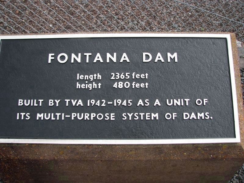
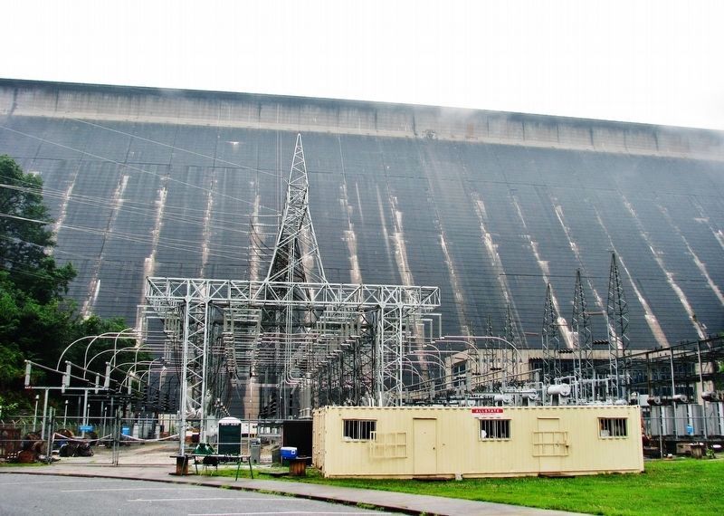
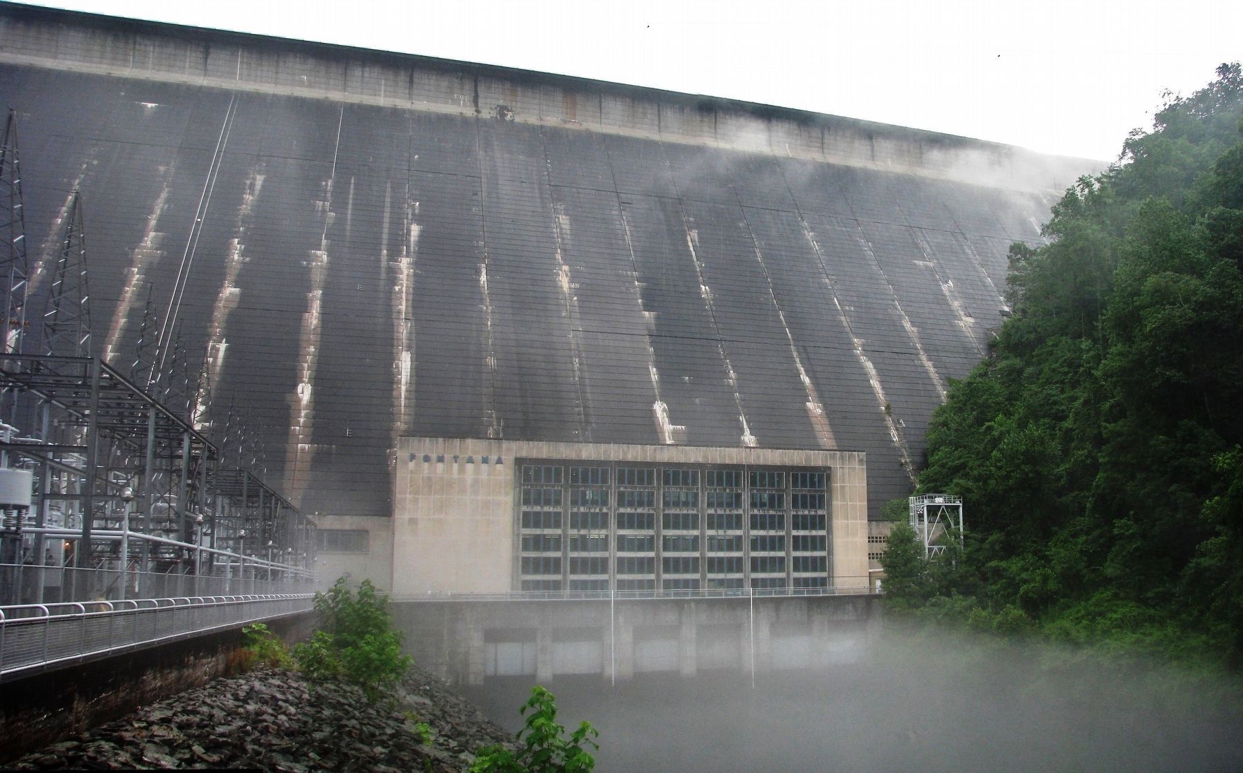
1. Fontana Dam (Wikipedia). Fontana Dam is a hydroelectric dam on the Little Tennessee River in Swain and Graham counties, North Carolina, United States. The dam is operated by the Tennessee Valley Authority, which built the dam in the early 1940s to accommodate the skyrocketing electricity demands in the Tennessee Valley at the height of World War II. At 480 feet high, Fontana is the tallest dam in the Eastern United States, and at the time of its construction, it was the fourth tallest dam in the world. (Submitted on November 21, 2020, by Cosmos Mariner of Cape Canaveral, Florida.)
2. Tennessee Valley Authority History. Against the backdrop of World War II, TVA launched one of the largest hydropower construction programs ever undertaken in the United States. (Submitted on November 21, 2020, by Cosmos Mariner of Cape Canaveral, Florida.)
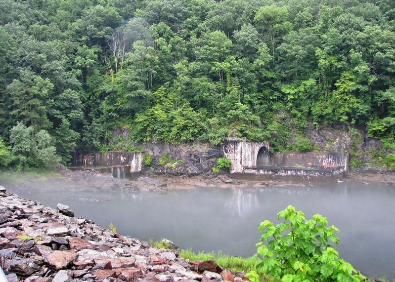
3. A Fontana Spectacle – Opening the Sluice Gates. In rare instances the TVA has to release water in a controlled fashion, either to create flood storage capacity on Fontana Lake or to release excessive water. The dam has a set of three ‘sluice’ gates near the bottom of the dam. Water flows in through tunnels and is released when the gates are open. (Submitted on November 21, 2020, by Cosmos Mariner of Cape Canaveral, Florida.)
Credits. This page was last revised on November 21, 2020. It was originally submitted on November 21, 2020, by Cosmos Mariner of Cape Canaveral, Florida. This page has been viewed 299 times since then and 28 times this year. Photos: 1, 2, 3, 4, 5, 6, 7. submitted on November 21, 2020, by Cosmos Mariner of Cape Canaveral, Florida.
