Near Carthage in Panola County, Texas — The American South (West South Central)
Deadwood Cemetery
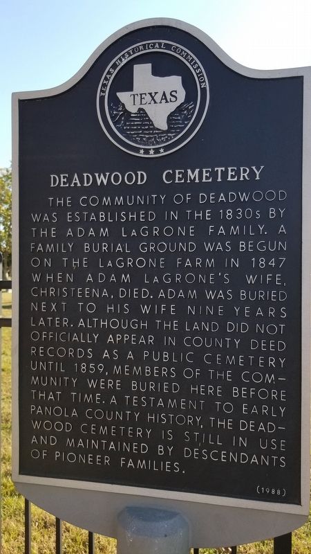
The community of Deadwood was established in the 1830s by the Adam LaGrone family. A family burial ground was begun on the LaGrone farm in 1847 when Adam LaGrone's wife Christeena, died. Adam was buried next to his wife nine years later. Although the land did not officially appear in county deed records as a public cemetery until 1859, members of the community were buried here before that time. A testament to early Panola County history, the Deadwood Cemetery is still in use and maintained by descendants of pioneer families.
Erected 1988 by Texas Historical Commission. (Marker Number 10822.)
Topics. This historical marker is listed in these topic lists: Cemeteries & Burial Sites • Settlements & Settlers. A significant historical year for this entry is 1847.
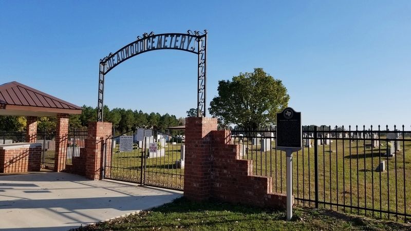
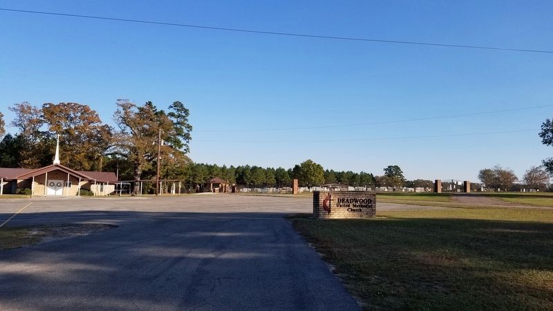
Location. 32° 8.775′ N, 94° 8.452′ W. Marker is near Carthage, Texas, in Panola County. Marker can be reached from County Highway 445, ¼ mile east of Farm to Market Road 31, on the right when traveling east. The marker is located next to the Deadwood United Pentecostal Church at the entrance to the cemetery. Touch for map. Marker is at or near this postal address: 1322 County Road 445, Carthage TX 75633, United States of America. Touch for directions.
Other nearby markers. At least 8 other markers are within 12 miles of this marker, measured as the crow flies. Adams Cemetery (approx. 6.2 miles away); The Respess Family and Respess Creek (approx. 8.1 miles away); Jim Reeves (approx. 8.4 miles away); International Boundary Marker (approx. 9.7 miles away); a different marker also named International Boundary Marker (approx. 9.7 miles away); DeBerry Baptist Church (approx. 10.8 miles away); DeBerry (approx. 11.1 miles away); Panola County (approx. 11.6 miles away). Touch for a list and map of all markers in Carthage.
Credits. This page was last revised on November 22, 2020. It was originally submitted on November 22, 2020, by James Hulse of Medina, Texas. This page has been viewed 571 times since then and 59 times this year. Photos: 1, 2, 3. submitted on November 22, 2020, by James Hulse of Medina, Texas. • J. Makali Bruton was the editor who published this page.


