Holly Pond in Cullman County, Alabama — The American South (East South Central)
Holly Pond Cemetery
Established 1894
| — | Listed in Alabama Historic Cemetery Register 2014 | — |
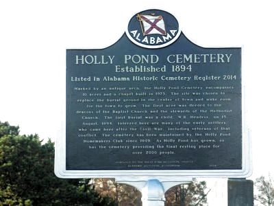
Photographed by Duane and Tracy Marsteller, November 21, 2020
1. Holly Pond Cemetery Marker
Erected 2014 by Alabama Historical Association; Presented by the Holly Pond Historical Society.
Topics and series. This historical marker is listed in this topic list: Cemeteries & Burial Sites. In addition, it is included in the Alabama Historical Association series list. A significant historical year for this entry is 1894.
Location. This marker has been replaced by another marker nearby. It was located near 34° 10.86′ N, 86° 37.559′ W. Marker was in Holly
this page online

Regionally, this marker was in North Alabama. It was also in the American South and specifically in the Deep South. Globally, it was in North America, a Gulf of Mexico state, the Western Hemisphere, the Western World, and the Anglosphere. Historically, it found itself in what was once the original Cherokee Nation, the territory of the Mississippian Culture, one of the Confederate States of America, and the Antebellum South.
Other nearby markers. At least 8 other markers are within 7 miles of this location, measured as the crow flies: A different marker also named Holly Pond Cemetery (a few steps from this marker); Veterans Memorial (about 500 feet away, measured in a direct line); Governor Guy Hunt (approx. ¼ mile away); The History of Holly Pond School (approx. half a mile away); First Baptist Church Holly Pond (approx. 0.6 miles away); Federal Raid (approx.
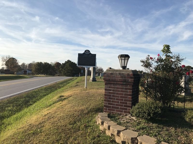
Photographed by Duane and Tracy Marsteller, November 21, 2020
2. Holly Pond Cemetery Marker
Another marker is no longer nearby. Federal Raid (was approx. 6.3 miles away but has been permanently removed).
Credits. This page was last revised on February 3, 2026. It was originally submitted on November 22, 2020, by Duane and Tracy Marsteller of Murfreesboro, Tennessee. This page has been viewed 914 times since then and 73 times this year. Photos: 1, 2. submitted on November 22, 2020, by Duane and Tracy Marsteller of Murfreesboro, Tennessee.
