Who Owns This Land?
Los Caminos Antiguos Scenic & Historic Byway
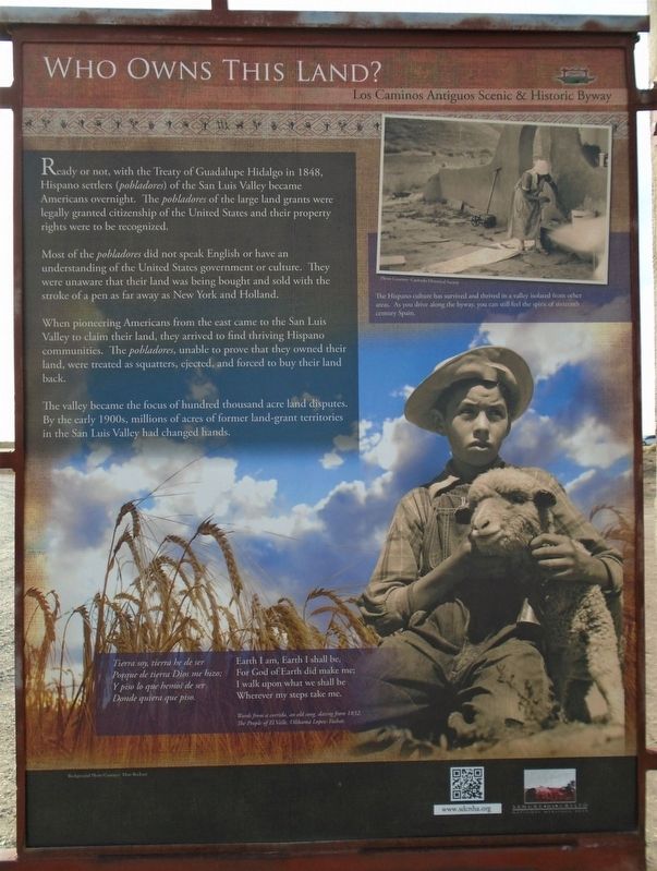
Ready or not, with the Treaty of Guadalupe Hidalgo in 1848, Hispano settlers (pobladores) of the San Luis Valley became Americans overnight. The pobladores of the large land grants were legally granted citizenship of the United States and their property rights were to be recognized.
Most of the pobladores did not speak English or have an understanding of the United States government or culture. They were unaware that their land was being bought and sold with the stroke of a pen as far away as New York and Holland.
When pioneering Americans from the east came to the San Luis Valley to claim their land, they arrived to find thriving Hispano communities. The pobladores, unable to prove that they owned their land, were treated as squatters, ejected, and forced to buy their land back.
The valley became the focus of hundred thousand acre land disputes. By the early 1900s, millions of acres of former land-grant territories in the San Luis Valley had changed hands.
Porque de tierra Dios me hizo;
Y piso lo que hemos de ser
Donde quiera que piso
Earth I am, Earth I shall be,
For God of Earth did make me;
I walk upon what we shall be
Wherever my steps take me.
Words from a corrido, an old song, dating from
1832.
The People of El Valle, Olibama Lopez-Tushar.
[Upper right photo caption reads]
The Hispano culture has survived and thrived in a valley isolated from other areas. As you drive along the byway, you can still feel the spirit of sixteenth century Spain.
Erected by Sangra de Cristo National Heritage Area.
Topics. This historical marker is listed in these topic lists: Civil Rights • Hispanic Americans • Settlements & Settlers • War, Mexican-American. A significant historical year for this entry is 1848.
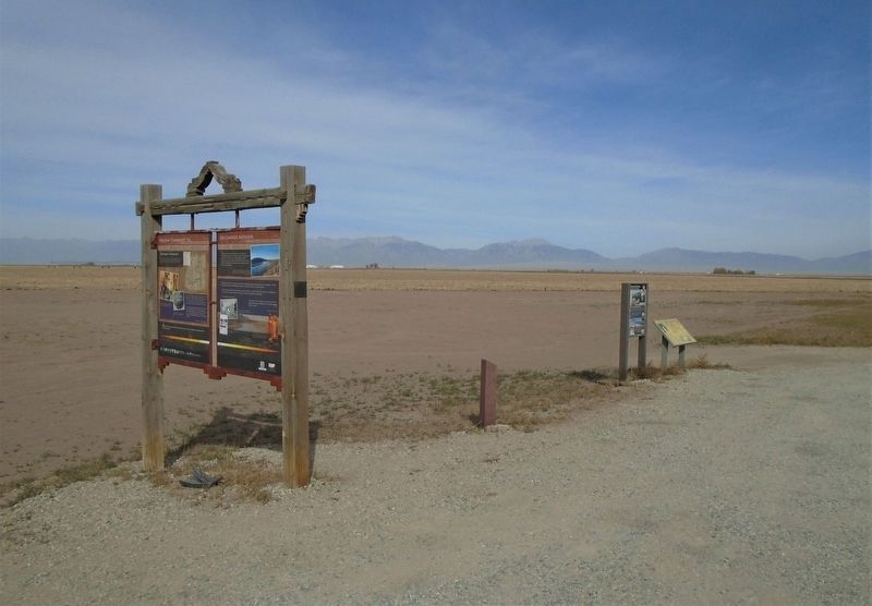
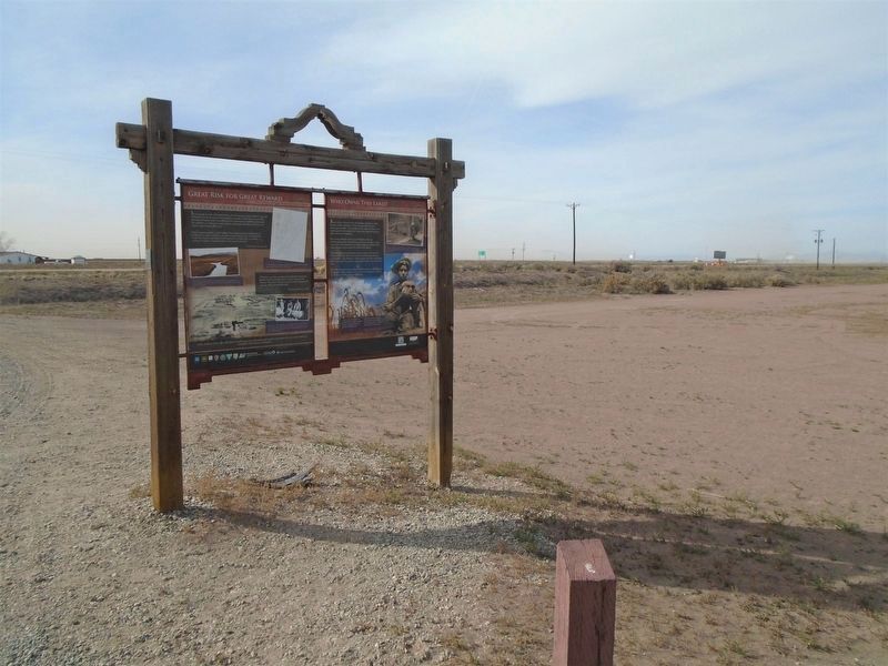
Location. 37° 39.765′ N, 105° 52.219′ W. Marker is in Mosca, Colorado, in Alamosa County. Marker is on Lane 6N east of State Highway 17, on the left when traveling east. Marker is at a roadside pulloff. Touch for map. Marker is in this post office area: Mosca CO 81146, United States of America. Touch for directions.
Other nearby markers. At least 8 other markers are within 14 miles of this marker, measured as the crow flies. Welcome "Caminante" to... (here, next to this marker); Los Caminos Antiguos (here, next to this marker); Great Risk for Great Reward (here, next to this marker); Lt. Zebulon Pike's Southwestern Expedition (a few steps from this marker); "Old Mose" (approx. 13.1 miles away); 1988 NAIA Division 1 National Championship Runner-Up (approx. 13.1
Also see . . .
1. Los Caminos Antiguos Scenic and Historic Byway. Sangre de Cristo National Heritage Area website (Submitted on November 22, 2020, by William Fischer, Jr. of Scranton, Pennsylvania.)
2. Sangre de Cristo National Heritage Area. Heritage Area homepage. (Submitted on November 22, 2020, by William Fischer, Jr. of Scranton, Pennsylvania.)
3. Treaty of Guadalupe Hidalgo. Our Documents entry (Submitted on November 22, 2020, by William Fischer, Jr. of Scranton, Pennsylvania.)
4. The Treaty of Guadalupe Hidalgo. National Archives Educator Resources (Submitted on November 22, 2020, by William Fischer, Jr. of Scranton, Pennsylvania.)
Credits. This page was last revised on April 29, 2021. It was originally submitted on November 22, 2020, by William Fischer, Jr. of Scranton, Pennsylvania. This page has been viewed 145 times since then and 14 times this year. Photos: 1, 2, 3. submitted on November 22, 2020, by William Fischer, Jr. of Scranton, Pennsylvania.


