Near Danville in Morgan County, Alabama — The American South (East South Central)
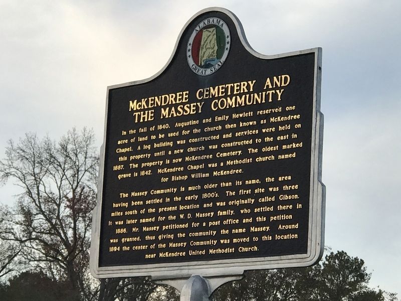
McKendree Cemetery and the Massey Community
⎯⎯⎯
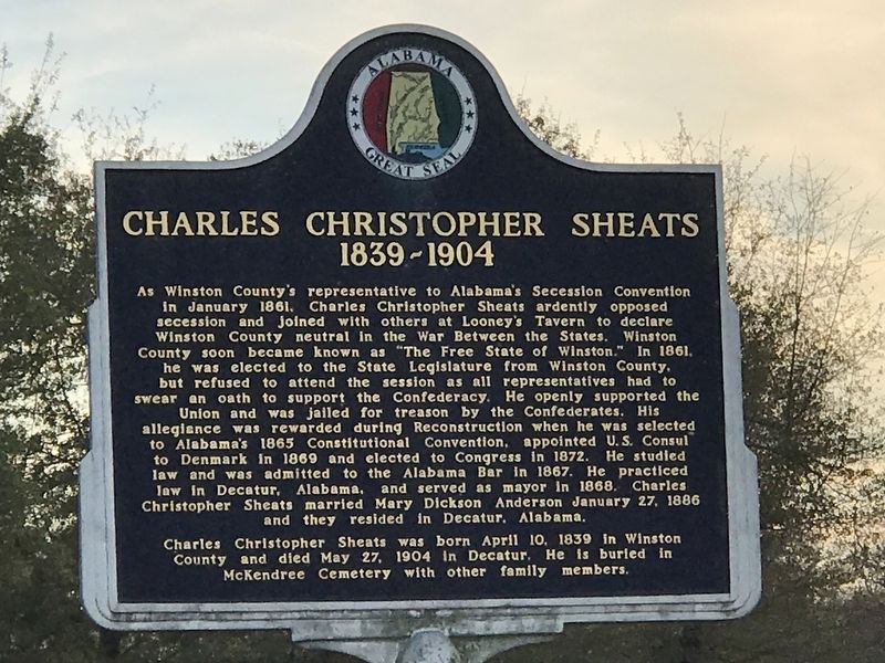
Charles Christopher Sheats 1839-1904
Photographed by Duane and Tracy Marsteller, November 21, 2020
1. McKendree Cemetery and the Massey Community Marker
The Massey Community is much older than its name, the area having been settled in the early 1800's. The first site was three miles south of the present location and was originally called Gibson. It was later named for the W. D. Massey family, who settled there in 1886. Mr. Massey petitioned for a post office and this petition was granted, thus giving the community the name Massey. Around 1894 the center of the Massey Community was moved to this location near McKendree United Methodist Church.
1839-1904
this page online
Charles Christopher Sheats was born April 10, 1839 in Winston County and died May 27, 1904 in Decatur. He is buried in McKendree Cemetery with other family members.
Erected by Alabama Tourism Department.
Topics. This historical marker is listed in these topic lists: Cemeteries & Burial Sites
Photographed by Duane and Tracy Marsteller, November 21, 2020
2. Charles Christopher Sheats 1839-1904 Marker
Location. 34° 22.211′ N, 87° 1.338′ W. Marker is near Danville, Alabama, in Morgan County. It is at the intersection of Evergreen Road and County Road 55, on the right when traveling south on Evergreen Road. Touch for map. Marker is at or near this postal address: 2795 County Road 55, Danville AL 35619, United States of America. Touch for directions.

Regionally, this marker is in North Alabama. It is also in the American South, specifically in the Deep South, in Appalachia, and specifically in Southern Appalachia. Globally, it is in North America, a Gulf of Mexico state, the Western Hemisphere, the Western World, and the Anglosphere. Historically, it finds itself in what was once the original Cherokee Nation, the territory of the Mississippian Culture, one of the Confederate States of America, and the Antebellum South.
Other nearby markers. At least 8 other markers are within 8 miles of this marker, measured as the crow flies: Cedar Plains Christian Church (approx. 1½ miles away); The "Katy-Did" Crash
Photographed by Duane and Tracy Marsteller, November 21, 2020
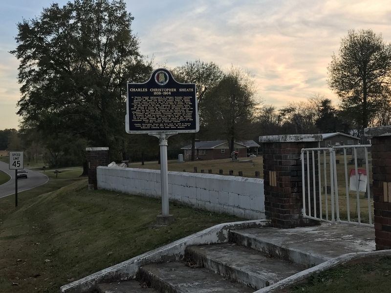
3. McKendree Cemetery and the Massey Community / Charles Christopher Sheats 1839-1904 Marker
Another marker is no longer nearby. Dave Albritton (was approx. 4½ miles away but has been replaced with another marker now near it).
Also see . . . Christopher Sheats. From the Encyclopedia of Alabama. (Submitted on November 23, 2020, by Duane and Tracy Marsteller of Murfreesboro, Tennessee.)
Photographed by Duane and Tracy Marsteller, November 21, 2020
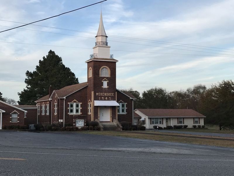
4. McKendree Methodist Church
The church is across County Road 55 from the cemetery.
Credits. This page was last revised on March 9, 2026. It was originally submitted on November 23, 2020, by Duane and Tracy Marsteller of Murfreesboro, Tennessee. This page has been viewed 1,531 times since then and 165 times this year. Last updated on March 8, 2026, by Jimmy Emerson of Dalton, Georgia. Photos: 1, 2, 3, 4. submitted on November 23, 2020, by Duane and Tracy Marsteller of Murfreesboro, Tennessee. • Devry Becker Jones was the editor who published this page.
