DeBerry in Panola County, Texas — The American South (West South Central)
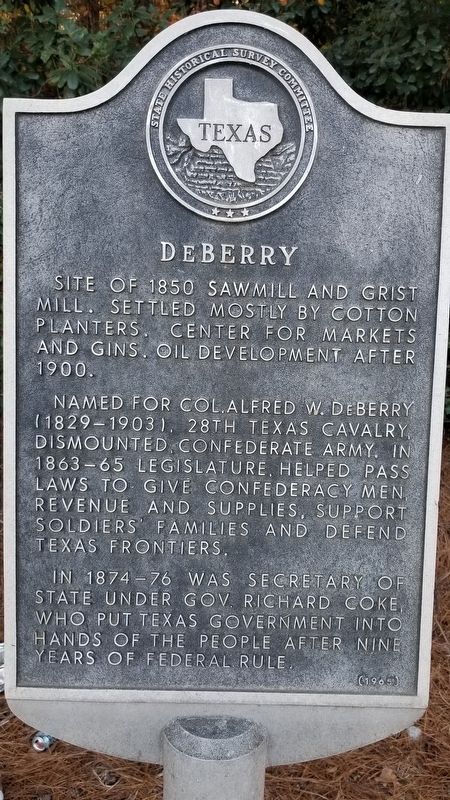
DeBerry
Site of 1850 sawmill and grist mill. Settled mostly by cotton planters. Center for markets and gins. Oil development after 1900.
Named for Col. Alfred W. DeBerry (1829-1903). 28th Texas Cavalry, Dismounted Confederate Army. In 1863 – 65 legislature, helped pass laws to give Confederacy men revenue and supplies, support soldiers' families and defend Texas frontiers.
In 1874 - 76 was Secretary of State under Gov Richard Coke, who put Texas government into hands of the people after nine ears of federal rule.
Erected 1965 by State Historical Survey Committee. (Marker Number 10823.)
Topics. This historical marker is listed in these topic lists: Industry & Commerce • Settlements & Settlers • War, US Civil. A significant historical year for this entry is 1850.
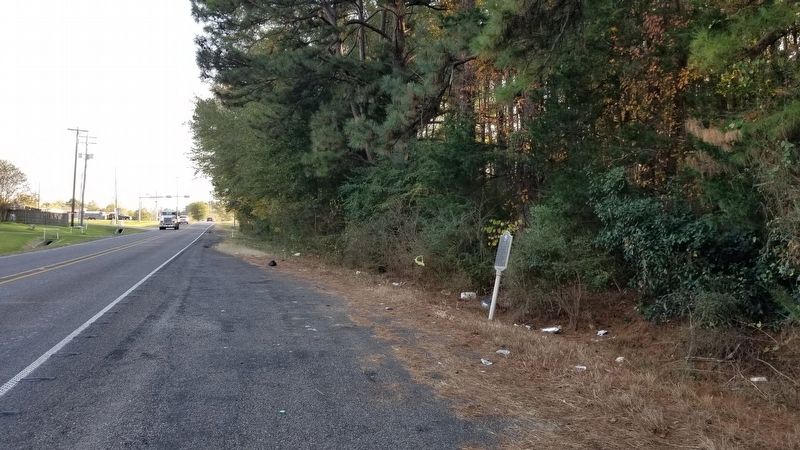
Location. 32° 18.3′ N, 94° 10.049′ W. Marker is in DeBerry, Texas, in Panola County. Marker is on Farm to Market Road 31, 0.1 miles north of U.S. 79, on the left when traveling north. Touch for map. Marker is in this post office area: De Berry TX 75639, United States of America. Touch for directions.
Other nearby markers. At least 8 other markers are within 15 miles of this marker, measured as the crow flies. DeBerry Baptist Church (approx. ¼ mile away); Mt. Zion Cemetery (approx. 3.9 miles away); Bailey Anderson (approx. 4.7 miles away); Site of Bethany (approx. 8.6 miles away); The Respess Family and Respess Creek (approx. 10.4 miles away); Jim Reeves (approx. 11.1 miles away); Deadwood Cemetery (approx. 11.1 miles away); Old Panola County Jail (approx. 14.2 miles away). Touch for a list and map of all markers in DeBerry.
Also see . . . Deberry, Texas. TSHA Texas State Historical Association (Submitted on November 23, 2020, by James Hulse of Medina, Texas.)
Credits. This page was last revised on November 23, 2020. It was originally submitted on November 23, 2020, by James Hulse of Medina, Texas. This page has been viewed 443 times since then and 81 times this year. Photos: 1, 2. submitted on November 23, 2020, by James Hulse of Medina, Texas. • J. Makali Bruton was the editor who published this page.

