Farmington Hills in Oakland County, Michigan — The American Midwest (Great Lakes)
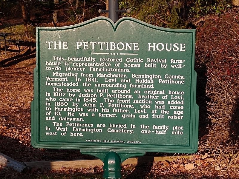
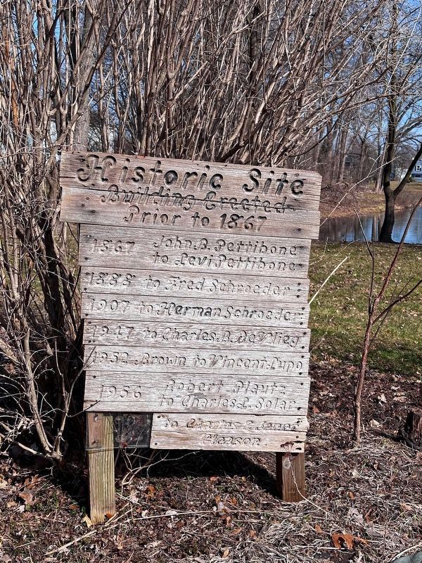
The Pettibone House
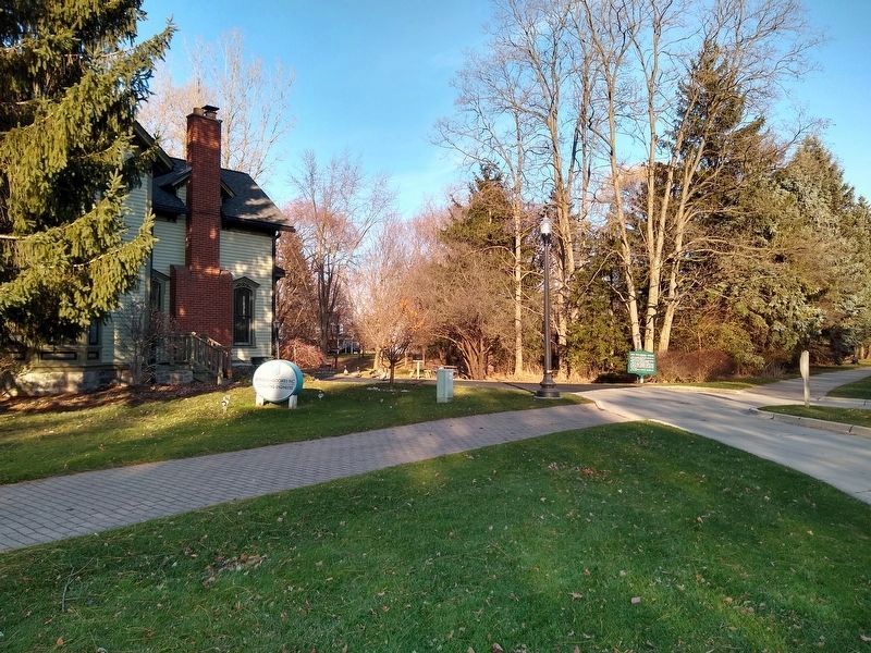
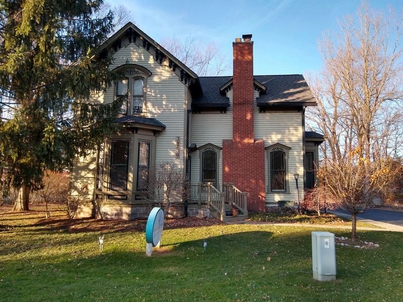
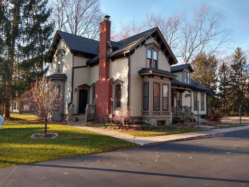
This beautifully restored Gothic Revival farmhouse is representative of homes built by well-to-do pioneer Farmingtonians.
Migrating from Manchester, Bennington County, Vermont, in 1841, Levi and Huldah Pettibone homesteaded the surrounding farmland.
The home was built around an original house in 1867 by Judson P. Pettibone, brother of Levi, who came in 1845. The front section was added in 1880 by John P. Pettibone, who had come to Farmington with his father, Levi, at the age of 10. He was a farmer, grain and fruit raiser and dairyman.
The Pettibones are buried in the family plot in West Farmington Cemetery, one-half mile west of here.
Erected by Farmington Hills Historical Commission.
Topics. This historical marker is listed in these topic lists: Agriculture • Architecture • Settlements & Settlers. A significant historical year for this entry is 1841.
Location. 42° 29.884′ N, 83° 24.427′ W. Marker is in Farmington Hills, Michigan, in Oakland County. Marker is on West Twelve Mile Road, 0.1 miles east of Schroeder Street, on the right when traveling west. Touch for map. Marker is at or near this postal address: 36400 West Twelve Mile Road, Farmington MI 48331, United States of America. Touch for directions.
Other nearby markers. At least 8 other markers are within walking distance of this marker. The Harger House (within shouting distance of this marker); Hamilton Jones House (about 300 feet away, measured in a direct line); The Worker's Camp (about 700 feet away); West Farmington Cemetery (approx. half a mile away); Boorn-Halsted House (approx. 0.6 miles away); The Old Mill (approx. 0.7 miles away); Sleepy Hollow (approx. 0.7 miles away); Charles Wixom House (approx. 0.9 miles away). Touch for a list and map of all markers in Farmington Hills.
Credits. This page was last revised on March 19, 2024. It was originally submitted on November 23, 2020, by Joel Seewald of Madison Heights, Michigan. This page has been viewed 642 times since then and 51 times this year. Photos: 1, 2, 3, 4. submitted on November 23, 2020, by Joel Seewald of Madison Heights, Michigan. 5. submitted on March 12, 2024, by J.T. Lambrou of New Boston, Michigan.
