Alamosa
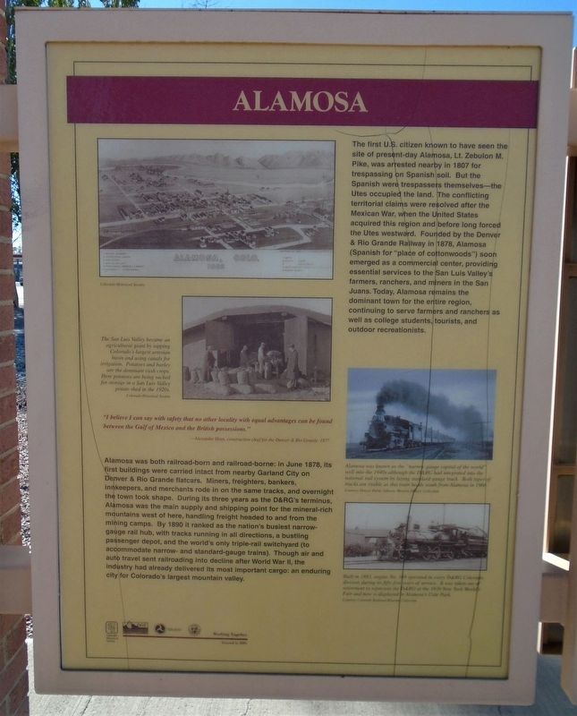
The first U.S. citizen known to have seen the site of present-day Alamosa, Lt. Zebulon M. Pike, was arrested nearby in 1807 for trespassing on Spanish soil. But the Spanish were trespassers themselves—the Utes occupied the land. The conflicting territorial claims were resolved after the Mexican War, when the United States acquired this region and before long forced the Utes westward. Founded by the Denver & Rio Grande Railway in 1878, Alamosa (Spanish for "place of cottonwoods") soon emerged as a commercial center, providing essential services to the San Luis Valley's farmers, ranchers, and miners in the San Juans. Today, Alamosa remains the dominant town for the entire region, continuing to serve farmers and ranchers as well as college students, tourists, and outdoor recreationists.
"I believe I can say with safety that no other locality with equal advantages can be found between the Gulf of Mexico and the British possessions."
—Alexander Hunt, construction chief for the Denver & Rio Grande, 1877.
Alamosa was both railroad-born and railroad-borne: in June 1878, its first buildings were carried intact from nearby Garland City on Denver & Rio Grande flatcars. Miners, freighters, bankers, innkeepers, and merchants rode in on the same tracks, and overnight the town took shape. During
its three years as the D&RG's terminus, Alamosa was the main supply and shipping point for the mineral-rich mountains west of here, handling freight headed to and from the mining camps. By 1890 it ranked as the nation's busiest narrow-gauge rail hub, with tracks running in all directions, a bustling passenger depot, and the world's only triple-rail switchyard (to accommodate narrow- and standard-gauge trains). Though air and auto travel sent railroading into decline after World War II, the industry had already delivered its most important cargo: an enduring city for Colorado's largest mountain valley.
[Photo captions, top to bottom, read]
• Alamosa, Colo. 1882 [birdseye view]
• The San Luis Valley became an agricultural giant by tapping Colorado's largest artesian basin and using canals for irrigation. Potatoes and barley are the dominant cash crops. Here potatoes are being sacked for storage in a San Luis Valley potato shed in the 1920s.
• Alamosa was known as the "narrow gauge capital of the world" well into the 1940s although the D&RG had integrated into the national rail system by laying standard-gauge track. Both types of tracks are visible as this train heads south from Alamosa in 1966.
• Built in 1883, engine No. 169 operated in every D&RG Colorado division during its fifty-five years of service. It was taken out of retirement to represent the D&RG at the 1939 New York World's Fair and now is displayed in Alamosa's Cole Park.
Erected by Colorado Historical Society, CO DOT, Federal Highway Administration, and CO Division of Wildlife.
Topics. This historical marker is listed in these topic lists: Agriculture • Environment • Railroads & Streetcars • Settlements & Settlers. A significant historical year for this entry is 1807.
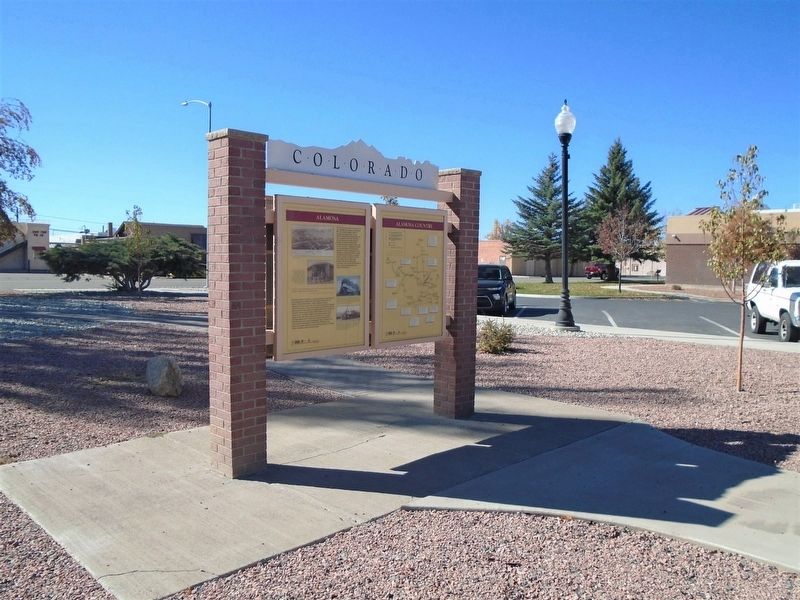
Location. 37° 28.178′ N, 105° 51.752′ W. Marker is in Alamosa, Colorado, in Alamosa County. Marker is on the Alamosa Municipal Complex grounds, about 150 feet NW of the intersection of Broadway/Denver Avenue (US Hwy 160) and 4th Street. Touch for map. Marker is at or near this postal address: 300 Hunt Avenue, Alamosa CO 81101, United States of America. Touch for directions.
Other nearby markers. At least 8 other markers are within walking distance of this marker. Adams State College (here, next to this marker); Alamosa County (here, next to this marker); Denver & Rio Grande Western Locomotive No. 169 (within shouting distance of this marker); All Aboard for Alamosa! (within shouting distance of this marker); First Baptist Church (approx. 0.2 miles away); Emperius Building (approx. 0.2 miles away); American National Bank Building (approx. 0.2 miles away); Alamosa Depot (approx. ¼ mile away). Touch for a list and map of all markers in Alamosa.
Credits. This page was last revised on November 26, 2020. It was originally submitted on November 26, 2020, by William Fischer, Jr. of Scranton, Pennsylvania. This page has been viewed 273 times since then and 46 times this year. Photos: 1, 2. submitted on November 26, 2020, by William Fischer, Jr. of Scranton, Pennsylvania.

