Near Pittsburg in Camp County, Texas — The American South (West South Central)
Cherokee Trace
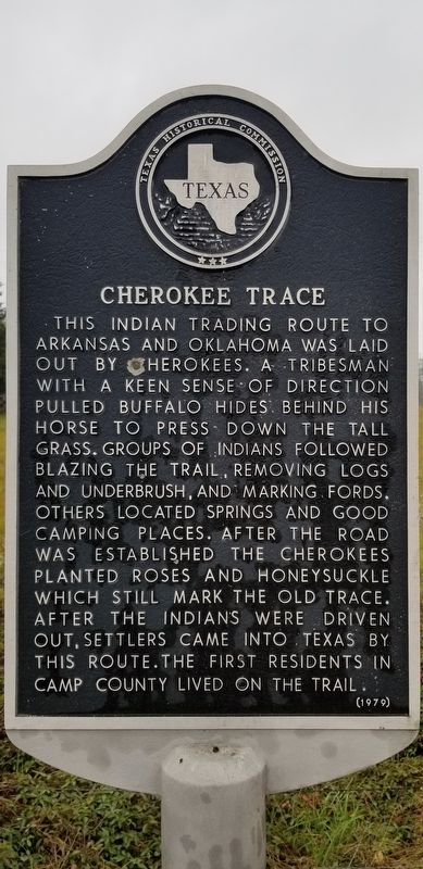
This Indian trading route to Arkansas and Oklahoma was laid out by Cherokees. A tribesman with a keen sense of direction pulled buffalo hides behind his horse to press down the tall grass. Groups of Indians followed blazing the trail, removing logs and underbrush, and marking fords. Others located springs and good camping places. After the road was established the Cherokees planted roses and honeysuckle which still mark the old trace. After the Indians were driven out, settlers came into Texas by this route. The first residents in Camp County lived on the trail.
Erected 1979 by Texas Historical Commission. (Marker Number 9792.)
Topics. This historical marker is listed in these topic lists: Native Americans • Roads & Vehicles.
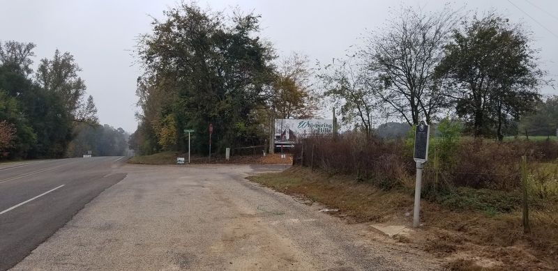
Location. 33° 1.793′ N, 95° 5.46′ W. Marker is near Pittsburg, Texas, in Camp County. Marker is at the intersection of Farm to Market Road 21 and County Road 2401, on the left when traveling north on Road 21. Touch for map. Marker is at or near this postal address: 3031 FM 21, Pittsburg TX 75686, United States of America. Touch for directions.
Other nearby markers. At least 8 other markers are within 8 miles of this marker, measured as the crow flies. Leesburg Cemetery (approx. 2.9 miles away); Monticello Missionary Baptist Church (approx. 4.3 miles away); Rockhill Cemetery (approx. 5.1 miles away); Ferndale Club (approx. 5.3 miles away); Reeves Chapel (approx. 6.2 miles away); New Mine Cemetery (approx. 6.3 miles away); New Mine Baptist Church (approx. 6.3 miles away); Abernathy House (approx. 7.2 miles away). Touch for a list and map of all markers in Pittsburg.
Also see . . .
1. Cherokee History. Wikipedia (Submitted on November 26, 2020, by James Hulse of Medina, Texas.)
2. Cherokee Trace. TSHA Texas State Historical Association (Submitted on November 26, 2020, by James Hulse of Medina, Texas.)
Credits. This page was last revised on November 27, 2020. It was originally submitted on November 26, 2020, by James Hulse of Medina, Texas. This page has been viewed 576 times since then and 25 times this year. Photos: 1, 2. submitted on November 26, 2020, by James Hulse of Medina, Texas. • Devry Becker Jones was the editor who published this page.

