Near Stowe in Lamoille County, Vermont — The American Northeast (New England)
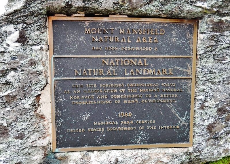
Mount Mansfield Natural Area
National Natural Landmark
Natural Area
has been designated a
National
Natural Landmark
This site possesses exceptional value
as an illustration of the Nation’s natural
heritage and contributes to a better
understanding of man’s environment.
1980
National Park Service
United States Department of the Interior
Erected 1980 by National Park Service, United States Department of the Interior.
Topics and series. This historical marker is listed in this topic list: Natural Features. In addition, it is included in the National Natural Landmarks series list.
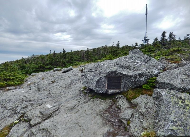
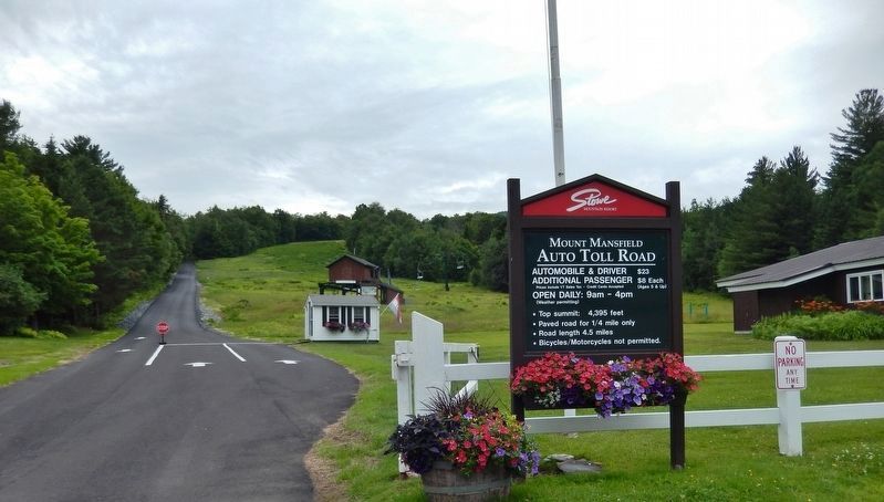
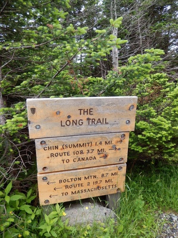
Location. 44° 31.78′ N, 72° 49.029′ W. Marker is near Stowe, Vermont, in Lamoille County. Marker can be reached from Mount Mansfield Auto Toll Road, 4½ miles Mountain Road (State Route 108). Marker is located on the Long Trail, about 230 yards north of the Mount Mansfield Peak Visitor Center. Touch for map. Marker is in this post office area: Stowe VT 05672, United States of America. Touch for directions.
Other nearby markers. At least 8 other markers are within 10 miles of this marker, measured as the crow flies. District No. 5 Schoolhouse (approx. 4.1 miles away); Smugglers Notch (approx. 8.3 miles away); Cambridge Rail Era History II (approx. 8.4 miles away); Cambridge Rail Era History I (approx. 8.4 miles away); Cambridge Junction Bridge (approx. 8.4 miles away); G.A.R. Cambridge, VT (approx. 8½ miles away); "Snowflake" Bentley (approx. 8.7 miles away); Chittenden Mills (approx. 9.1 miles away).
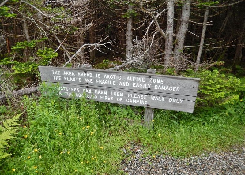
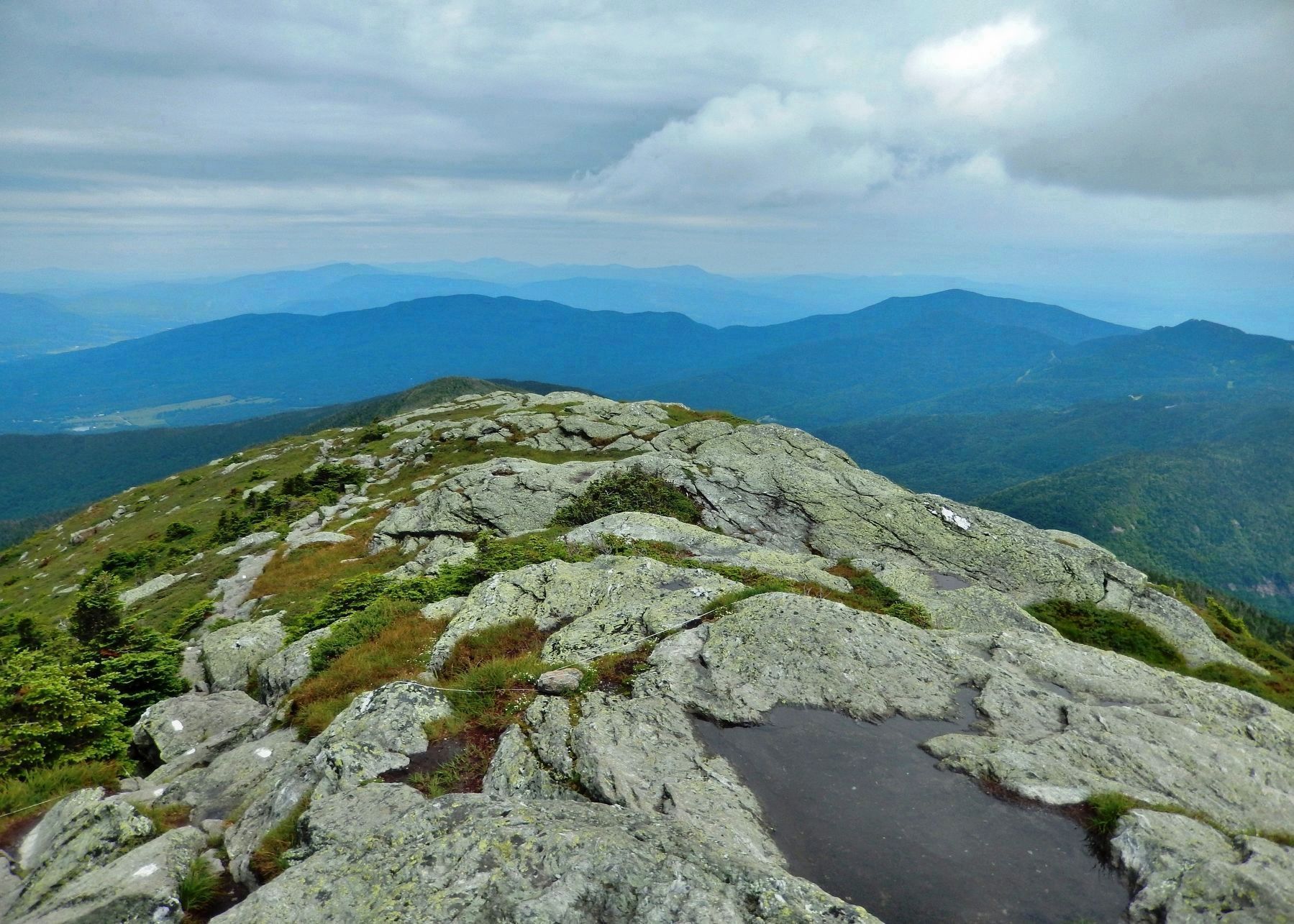
Also see . . . Mount Mansfield (Wikipedia). Mount Mansfield is the highest mountain in Vermont with a summit that peaks at 4,395 feet. Mount Mansfield is one of three spots in Vermont where true alpine tundra survives from the Ice Ages. A few acres exist on Camel's Hump and Mount Abraham nearby and to the south, but Mount Mansfield's summit still holds about 200 acres. In 1980, the Mount Mansfield Natural Area was designated as a National Natural Landmark by the National Park Service. (Submitted on November 29, 2020, by Cosmos Mariner of Cape Canaveral, Florida.)
Photographed By Cosmos Mariner, July 10, 2017
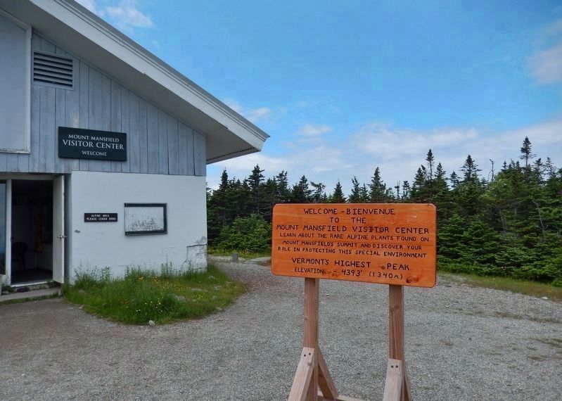
4. Mount Mansfield Peak Visitor Center
Welcome — Bienvenue
to the
Mount Mansfield Visitor Center
Learn about the rare alpine plants found on
Mount Mansfield’s summit and discover your
role in protecting this special environment
Vermont’s Highest Peak
elevation — 4393 ft (1340 m)
Credits. This page was last revised on November 29, 2020. It was originally submitted on November 27, 2020, by Cosmos Mariner of Cape Canaveral, Florida. This page has been viewed 214 times since then and 11 times this year. Photos: 1, 2, 3, 4, 5, 6, 7. submitted on November 29, 2020, by Cosmos Mariner of Cape Canaveral, Florida.
