Near Akron in Tuscola County, Michigan — The American Midwest (Great Lakes)
Indian Dave
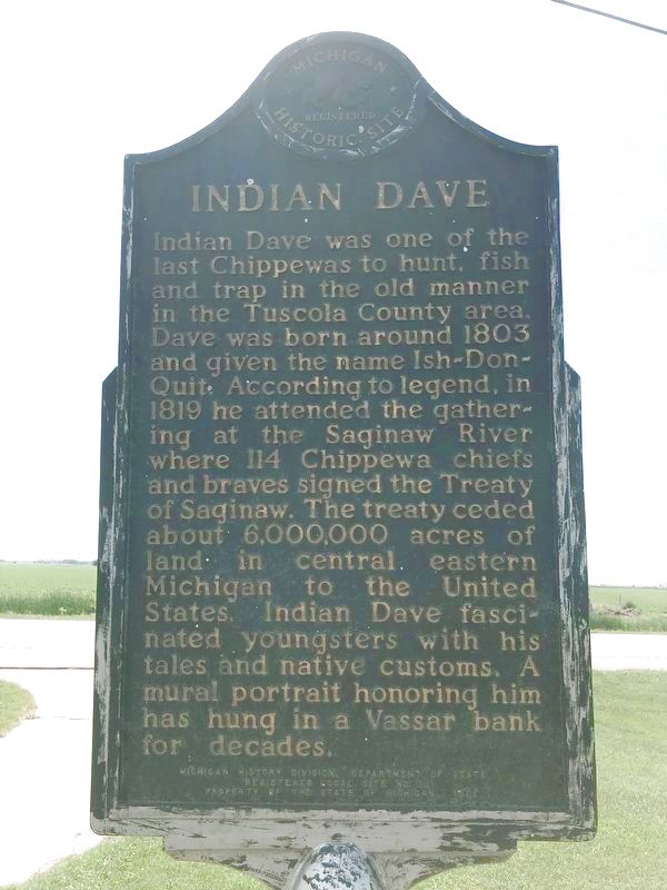
Indian Dave was one of the last Chippewas to hunt, fish and trap in the old manner in the Tuscola County area. Dave was born around 1803 and given the name Ish-Don-Quit. According to legend, in 1819 he attended the gathering at the Saginaw River where 114 Chippewa chiefs and braves signed the Treaty of Saginaw. The treaty ceded about 6,000,000 acres of land in central eastern Michigan to the United States. Indian Dave fascinated youngsters with his tales and native customs. A mural portrait honoring him has hung in a Vassar bank for decades.
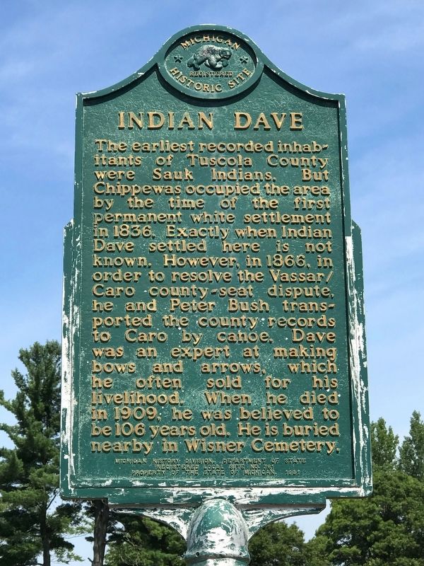
(Side Two)
The earliest recorded inhabitants of Tuscola County were Sauk Indians. But Chippewas occupied the area by the time of the first permanent white settlement in 1836. Exactly when Indian Dave settled here is not known. However, in 1866, in order to resolve the Vassar/Caro county-seat dispute, he and Peter Bush transported the county records to Caro by canoe. Dave was an expert at making bows and arrows, which he often sold for his livelihood. When he died in 1909, he was believed to be 106 years old. He is buried nearby in Wisner Cemetery.
Erected 1981 by Michigan History Division, Department of State. (Marker Number L761B.)
Topics and series. This historical marker is listed in these topic lists:
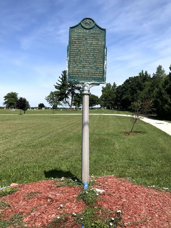
Location. 43° 36.114′ N, 83° 37.137′ W. Marker is near Akron, Michigan, in Tuscola County. Marker is on Bay City Forestville Road (Michigan Route 25) 0.3 miles east of North Bradleyville Road, on the left when traveling east. The marker is at the entrance to the Wisner Township Cemetery, just east of the Wisner Township Meeting Hall. Touch for map. Marker is at or near this postal address: 7894 Bay City Forestville Rd, Akron MI 48701, United States of America. Touch for directions.
Other nearby markers. At least 8 other markers are within 13 miles of this marker, measured as the crow flies. Gilford United Methodist Church (approx. 7.4 miles away); Juniata House (approx. 11.4 miles away); Watrous General Store (approx. 11.4 miles away); Watrousville United Methodist Church (approx. 11˝ miles away); Sebewaing Township Hall (approx. 12.3 miles away); The Indian Mission (approx. 12.3 miles away); Sebewaing (approx. 12.3 miles away); John C. Liken / John C. Martini House (approx. 12˝ miles away).
More about this marker. Marker is in need of cleaning and repainting.
Credits. This page was last revised on November 29, 2020. It was originally submitted on November 27, 2020, by John Garman of Rochester Hills. This page has been viewed 588 times since then and 121 times this year. Last updated on November 28, 2020, by John Garman of Rochester Hills. Photos: 1. submitted on November 28, 2020, by John Garman of Rochester Hills. 2, 3. submitted on November 27, 2020, by John Garman of Rochester Hills. • Mark Hilton was the editor who published this page.


