Friends Burial Ground
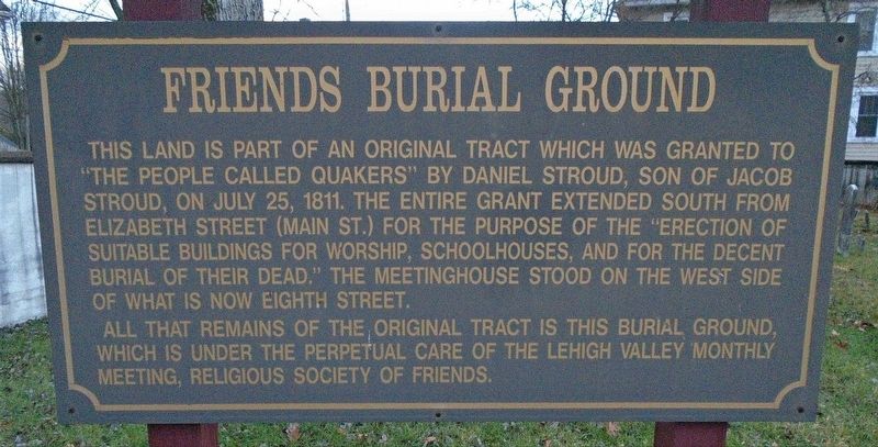
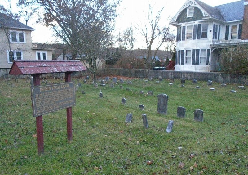
This land is part of an original tract which was granted to "the people called Quakers" by Daniel Stroud, son of Jacob Stroud, on July 25, 1811. The entire grant extended south from Elizabeth Street (Main St.) for the purpose of the "erection of suitable buildings for worship, schoolhouses, and for the decent burial of their dead." The Meetinghouse stood on the west side of what is now Eighth Street.
All that remains of the original tract is this burial ground, which is under the perpetual care of the Lehigh Valley Monthly Meeting, Religious Society of Friends.
Erected by Lehigh Valley Monthly Meeting, Religious Society of Friends.
Topics and series. This historical marker is listed in these topic lists: Cemeteries & Burial Sites • Charity & Public Work • Religion & Religious Structures • Settlements & Settlers. In addition, it is included in the Quakerism series list. A significant historical date for this entry is July 25, 1811.
Location. 40° 59.014′ N, 75° 11.73′ W. Marker is in Stroudsburg, Pennsylvania, in Monroe County. It is at the intersection of Ann Street and 8th Street, on the left when traveling
this page online

Regionally, this marker is in the Pocono Mountains and in Greater Scranton and Wilkes-Barre. It is also in the American Northeast, in the Mid-Atlantic, in Appalachia, and specifically in Northern Appalachia. Globally, it is in North America, the Western Hemisphere, the Western World, and the Anglosphere. Historically, it finds itself in what was once the Haudenosaunee (Iroquois) Confederacy and also one of the original Thirteen Colonies.
Other nearby markers. At least 8 other markers are within walking distance of this marker: Fort Hamilton (about 700 feet away, measured in a direct line); a different marker also named Fort Hamilton (about 700 feet away); Stroud Mansion (approx. 0.2 miles away); a different marker also named Stroud Mansion (approx. 0.2 miles away); Hollinshead House (approx. 0.2 miles away); Fort Penn (approx. 0.2 miles away); J. J. Newberry Company Stores (approx. 0.2 miles away); Monroe County World War Memorial (approx. 0.2 miles away). Touch for a list and map
Also see . . .
1. Converted Quaker Builds Faith in 1800s (Monroe County Historical Society, 2007). (Submitted on November 28, 2020, by William Fischer, Jr. of Reynoldsburg, Ohio.)
2. Lehigh Valley Friends Meeting. (Submitted on November 28, 2020, by William Fischer, Jr. of Reynoldsburg, Ohio.)
Credits. This page was last revised on November 28, 2020. It was originally submitted on November 28, 2020, by William Fischer, Jr. of Reynoldsburg, Ohio. This page has been viewed 531 times since then and 34 times this year. Photos: 1, 2. submitted on November 28, 2020, by William Fischer, Jr. of Reynoldsburg, Ohio.
