Manor Township near Washington Boro in Lancaster County, Pennsylvania — The American Northeast (Mid-Atlantic)
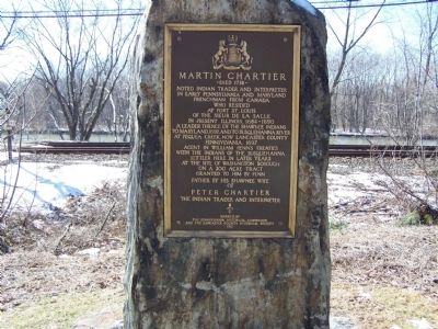
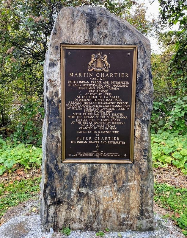
Martin Chartier
Died 1718
Photographed by Beverly Pfingsten, February 24, 2008
1. Martin Chartier Marker
in early Pennsylvania and Maryland
Frenchman from Canada
who resided
at Fort St. Louis
of the Sieur de la Salle
in present Illinois, 1684-1690
A leader thence of the Shawnee Indians
to Maryland, 1662, and to Susquehanna River
at Pequea Creek, now Lancaster County
Pennsylvania, 1697
Agent in William Penn's treaties
with the Indians of the Susquehanna
Settler here in later years
at the site of Washington Borough
on a 300 acre tract
granted to him by Penn
Father by his Shawnee wife
of
Peter Chartier
the Indian trader and interpreter
Erected 1925 by the Pennsylvania Historical Commission and the Lancaster County Historical Society.
Topics and series. This historical marker is listed in these topic lists: Forts and Castles • Indigenous Peoples and Communities. In addition, it is included in the Pennsylvania Historical and Museum Commission (PHMC) series list. A significant historical year for this entry is 1697.
Location. 39° 59.888′ N, 76° 28.393′ W. Marker is near Washington Boro, Pennsylvania, in Lancaster County. It is in Manor Township. It is at the intersection
this page online

Regionally, this marker is in South-Central Pennsylvania, specifically in Pennsylvania Dutch Country, and in the Susquehanna Valley. It is also in the American Northeast and in the Mid-Atlantic. Globally, it is in North America, the Western Hemisphere, the Western World, and the Anglosphere. Historically, it finds itself in what was once the Haudenosaunee (Iroquois) Confederacy and also one of the original Thirteen Colonies.
Other nearby markers. At least 8 other markers are within 2 miles of this marker, measured as the crow flies: 40th Parallel (about 700 feet away, measured in a direct line); Washington Boro Archaeological Sites (approx. half a mile away); Great Minqua Path (approx. 1.6 miles away); Latrobe's Survey of the Susquehanna (approx. 1.8 miles away); Gateway to the Bay (approx. 1.8 miles away); Captain Thomas Cresap (approx. 1.9 miles away); The Dritt Mansion: A Home at the Center of History
Photographed by Beverly Pfingsten, February 24, 2008
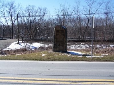
2. Plaque with Susquehanna River in background.
Photographed by Shane Oliver, October 23, 2021
3. Martin Chartier Marker
Credits. This page was last revised on February 7, 2023. It was originally submitted on February 25, 2008, by Bill Pfingsten of Bel Air, Maryland. This page has been viewed 3,408 times since then and 89 times this year. Last updated on November 29, 2020, by Carl Gordon Moore Jr. of North East, Maryland. Photos: 1, 2. submitted on February 25, 2008, by Bill Pfingsten of Bel Air, Maryland. 3. submitted on December 19, 2021, by Shane Oliver of Richmond, Virginia.
