Columbia in Lancaster County, Pennsylvania — The American Northeast (Mid-Atlantic)
Columbia: a Transportation Hub
Lancaster-York Heritage Region
— Susquehanna River Water Trail —
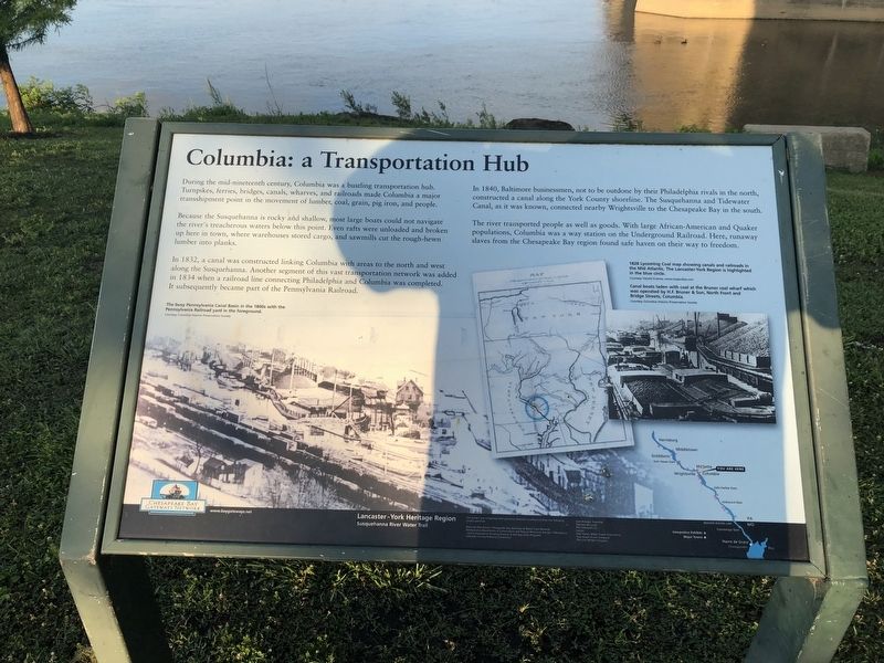
During the mid-nineteenth century, Columbia was a bustling transportation hub. Turnpikes, ferries, bridges, canals, wharves, and railroads made Columbia a major transshipment point in the movement of lumber, coal, grains, pig iron, and people.
Because the Susquehanna is rocky and shallow, most large boats could not navigate the river's treacherous waters below this point. Even rafts were unloaded and broken up here in town, where warehouses stored cargo, and sawmills cut the rough-hewn lumber into planks.
In 1832, a canal was constructed linking Columbia with areas to the north and west along the Susquehanna. Another segment of this vast transportation network was added in 1834 when a railroad line connecting Philadelphia and Columbia was completed. It subsequently became a part of the Pennsylvania Railroad.
In 1840, Baltimore businessmen, not to be outdone by their Philadelphia rivals in the north, constructed a canal along the York County shoreline. The Susquehanna and Tidewater Canal, as it was known, connected nearby Wrightsville to the Chesapeake Bay in the south.
The river transported people as well as goods. With large African-American and Quaker populations, Columbia was a way station on the Underground Railroad. Here, runaway slaves from the Chesapeake Bay region found safe haven on their way to freedom.
[Captions:] The busy Pennsylvania Canal Basin in the 1800s with the Pennsylvania Railroad in the foreground.
Courtesy Columbia Historic Preservation Association
1828 Lycoming Coal map showing canals and railroads in the Mid Atlantic. The Lancaster-York Region is highlighted in the blue circle.
Courtesy Harold Kramer, www.mapsofpa.com
Canal boats laden with coal at the Bruner coal wharf which was operated by H. F. Bruner and Son, North Front and Bridge Streets, Columbia.
Courtesy Columbia Historic Preservation Association
Erected by Chesapeake Bay Gateways Network.
Topics and series. This historical marker is listed in these topic lists: Abolition & Underground RR • Bridges & Viaducts • Railroads & Streetcars • Waterways & Vessels. In addition, it is included in the Pennsylvania Railroad (PRR), and the Susquehanna and Tidewater Canal series lists. A significant historical year for this entry is 1832.
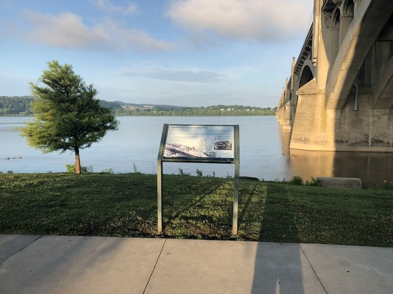
Location. 40° 1.862′ N, 76° 30.551′ W. Marker is in Columbia, Pennsylvania, in Lancaster County. Marker can be reached from Walnut Street west of Locust Street, on the right when traveling west. Touch for map. Marker is at or near this postal address: 220 North Front Street, Columbia PA 17512, United States of America. Touch for directions.
Other nearby markers. At least 8 other markers are within
Regarding Columbia: a Transportation Hub.
[Credits information:]
This project was completed with generous contributions from the following project partners.
National Park Service, Chesapeake Bay Gateways & Water Trails Network;
Pennsylvania Department of Conservation and Natural Resources, Bureau of Recreation and Conservation, Growing Greener & Heritage Parks Programs;
Lancaster County Planning Commission
East Donegal Township
Marietta Borough
PPL Holtwood LLC
Exelon
Safe Harvard Water Power Corporation
York Haven Power Company
The John Wright Company
Credits. This page was last revised on November 29, 2020. It was originally submitted on July 7, 2019, by Devry Becker Jones of Washington, District of Columbia. This page has been viewed 426 times since then and 25 times this year. Last updated on November 29, 2020, by Carl Gordon Moore Jr. of North East, Maryland. Photos: 1, 2. submitted on July 7, 2019, by Devry Becker Jones of Washington, District of Columbia.

