Frankston in Anderson County, Texas — The American South (West South Central)
Frankston City Park
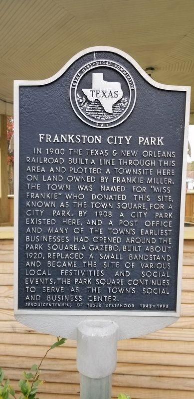
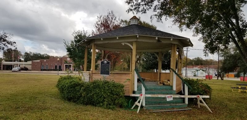
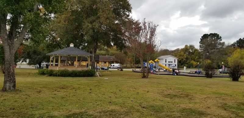
In 1900 the Texas & New Orleans Railroad built a line through this area and plotted a townsite here on land owned by Frankie Miller. The town was named for "Miss Frankie" who donated this site, known as the Town Square, for a city park. By 1908 a city park existed here, and a post office and many of the town's earliest businesses had opened around the park square. A gazebo, built about 1920, replaced a small bandstand and became the site of various local festivities and social events. The park square continues to serve as the town's social and business center.
Sesquicentennial of Texas Statehood 1845 - 1995
Erected 1995 by Texas Historical Commission. (Marker Number 8755.)
Topics. This historical marker is listed in these topic lists: Industry & Commerce • Parks & Recreational Areas. A significant historical year for this entry is 1900.
Location. 32° 3.015′ N, 95° 30.393′ W. Marker is in Frankston, Texas, in Anderson County. Marker can be reached from the intersection of West Main Street and South Elm Street (State Highway 155). The marker is located in front of the gazebo at the center of the city park. Touch for map. Marker is in this post office area: Frankston TX 75763, United States of America. Touch for directions.
Other nearby markers. At least 8 other markers are within 13 miles of this marker, measured as the crow flies . Frankston Railroad Depot (within shouting distance of this marker); Site of the Kickapoo Battlefield (approx. 2.1 miles away); Cuney (approx. 5.4 miles away); Mount Vernon United Methodist Church (approx. 9.2 miles away); Dewberry Plantation House (approx. 9.6 miles away); Camp of the Army of the Republic of Texas (approx. 9.6 miles away); Old Neches Saline Road (approx. 12 miles away); Texas Civil War Iron Works (approx. 12.2 miles away). Touch for a list and map of all markers in Frankston.
Credits. This page was last revised on November 29, 2020. It was originally submitted on November 29, 2020, by James Hulse of Medina, Texas. This page has been viewed 302 times since then and 36 times this year. Photos: 1, 2, 3. submitted on November 29, 2020, by James Hulse of Medina, Texas. • J. Makali Bruton was the editor who published this page.


