Near Mound Prairie in Anderson County, Texas — The American South (West South Central)
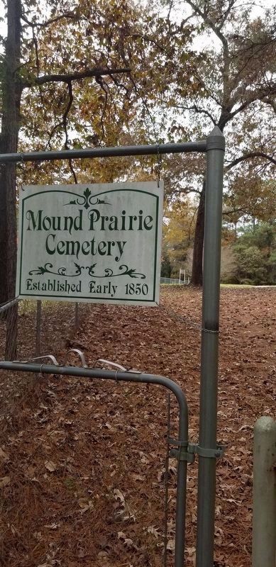
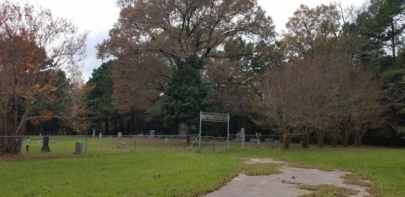
Mound Prairie Cemetery
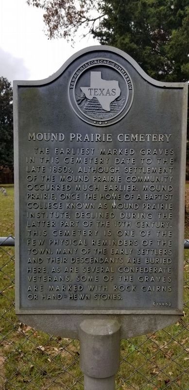
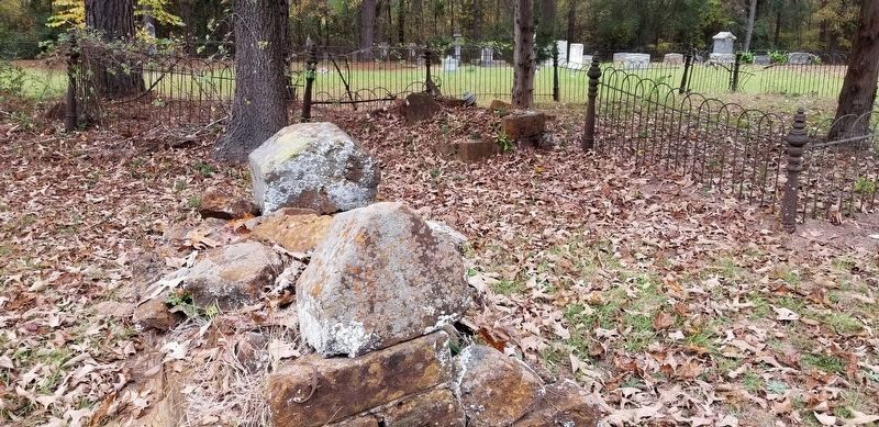
The earliest marked graves in this cemetery date to the late 1850s. Although settlement of the Mound Prairie community occurred much earlier. Mound Prairie, once the home of a Baptist College known as Mound Prairie Institute, declined during the latter part of the 19th century. This cemetery is one of the few physical reminders of the town. Many of the early settlers and their descendants are buried here, as are several Confederate Veterans. Some of the graves are marked with rock cairns or hand-hewn stones.
Erected 1985 by Texas Historical Commission. (Marker Number 8781.)
Topics. This historical marker is listed in these topic lists: Cemeteries & Burial Sites • Settlements & Settlers.
Location. 31° 52.347′ N, 95° 34.334′ W. Marker is near Mound Prairie, Texas, in Anderson County. Marker can be reached from Cemetery Road (County Highway 4440) ¼ mile south of State Highway 155. The marker is located 500 feet west of the first gate of the cemetery by the road. Touch for map. Marker is in this post office area: Palestine TX 75803, United States of America. Touch for directions.
Other nearby markers. At least 8 other markers are within 8 miles of this marker, measured as the crow flies. Mount Vernon United Methodist Church (approx. 3.7 miles away); Murdoch McDonald (approx. 4½ miles away); Alonzo Marion Story (approx. 7 miles away); William Freeman (approx. 7½ miles away); Hodges - Darsey House (approx. 7.7 miles away); Mount Vernon A.M.E. Church (approx. 7.8 miles away); Osjetea Briggs (approx. 7.9 miles away); Antioch Missionary Baptist Church (approx. 7.9 miles away).
Also see . . . Mound Praire. TSHA Texas State Historical Association (Submitted on November 29, 2020, by James Hulse of Medina, Texas.)
Credits. This page was last revised on November 29, 2020. It was originally submitted on November 29, 2020, by James Hulse of Medina, Texas. This page has been viewed 254 times since then and 28 times this year. Photos: 1, 2, 3, 4. submitted on November 29, 2020, by James Hulse of Medina, Texas. • J. Makali Bruton was the editor who published this page.


