Near Heaters in Braxton County, West Virginia — The American South (Appalachia)
Skirmish at Salt Lick Bridge
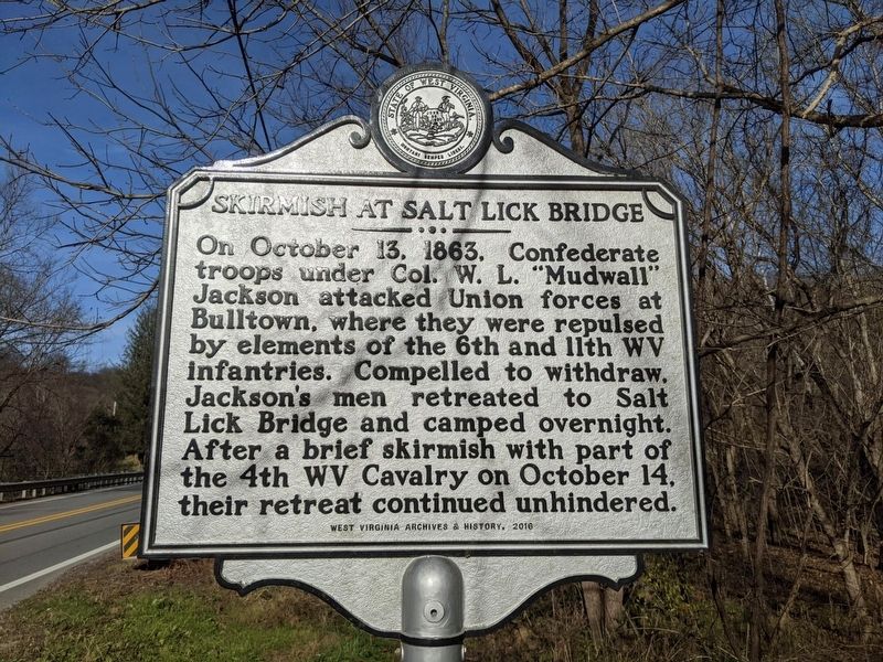
Photographed by Mike Wintermantel
1. Skirmish at Salt Lick Bridge Marker
Erected 2016 by West Virginia Archives and History.
Topics. This historical marker is listed in this topic list: War, US Civil. A significant historical date for this entry is October 13, 1863.
Location. 38° 46.1′ N, 80° 36.963′ W. Marker is near Heaters, West Virginia, in Braxton County. It is at the intersection of Gauley Turnpike (U.S. 19) and Corley Caress Road, on the right when traveling north on Gauley Turnpike. Touch for map. Marker is in this post office area: Heaters WV 26627, United States of America. Touch for directions.

Regionally, this marker is in North Central West Virginia. It is also in the American South, specifically in the Upper South, in Appalachia, and specifically in Southern Appalachia. Globally, it is in North America, the Western
this page online
Other nearby markers. At least 8 other markers are within 4 miles of this marker, measured as the crow flies: Battle of Bulltown (approx. 2.9 miles away); Unknown Confederate Soldiers (approx. 2.9 miles away); Veterans Memorial (approx. 2.9 miles away); Confederate Entrenchments (approx. 2.9 miles away); Confederate Overlook (approx. 2.9 miles away); Well (approx. 3.1 miles away); Entrance to Fortifications (approx. 3.1 miles away); Main Trench (approx. 3.1 miles away).
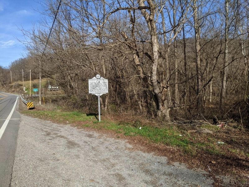
Photographed by Mike Wintermantel
2. Skirmish at Salt Lick Bridge Marker
Credits. This page was last revised on November 30, 2020. It was originally submitted on November 30, 2020, by Mike Wintermantel of Pittsburgh, Pennsylvania. This page has been viewed 1,149 times since then and 125 times this year. Photos: 1, 2. submitted on November 30, 2020, by Mike Wintermantel of Pittsburgh, Pennsylvania.
