Downtown in Louisville in Jefferson County, Kentucky — The American South (East South Central)
Louisville Medical College

Photographed by Duane and Tracy Marsteller, November 26, 2020
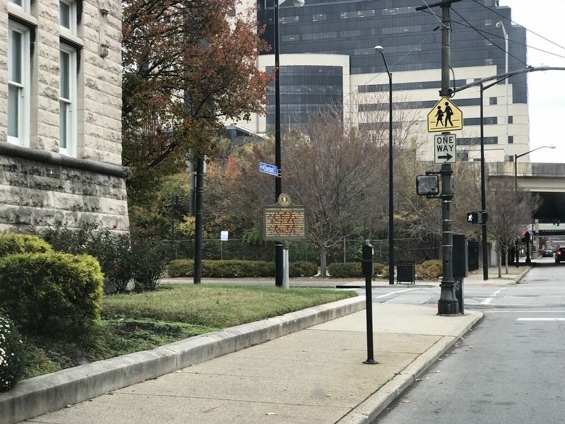
1. Louisville Medical College Marker
Founded in 1869, the college was one of four medical institutions in city which merged with Medical Dept. of University of Louisville, 1908. College built this limestone Richardsonian Romanesque structure 1891-1893. Building was designed by firm of Clarke and Loomis. It housed U of L School of Medicine, 1909-1970. Listed on National Register of Historic Places, 1975.
Erected 1984 by Kentucky Historical Society and Kentucky Department of Transportation. (Marker Number 1737.)
Topics and series. This historical marker is listed in these topic lists: Education • Science & Medicine. In addition, it is included in the Kentucky Historical Society series list. A significant historical year for this entry is 1869.
Location. 38° 14.908′ N, 85° 45.182′ W. Marker is in Louisville, Kentucky, in Jefferson County. It is in Downtown. It is at the intersection of West Chestnut Street and South 1st Street, on the left when traveling east on West Chestnut Street. Touch for map. Marker is at or near this postal address: 101 West Chestnut Street, Louisville KY 40202, United States of America. Touch for directions.

Regionally, this
this page online
Other nearby markers. At least 8 other markers are within walking distance of this marker: The Filson Club / Home of Founder (about 500 feet away, measured in a direct line); Scottish Rite Temple / Grand Consistory of Kentucky (about 800 feet away); "Neighborhood House" / Settlement Houses (approx. 0.2 miles away); Old Presbyterian Theological Seminary (approx. 0.2 miles away); 50th Anniversary of the End of World War II (approx. 0.2 miles away); Pendennis Club (approx. 0.2 miles away); St. Paul's German Evangelical Church (approx. 0.2 miles away); YMCA Building (approx. ¼ mile away). Touch for a list and map of all markers in Louisville.

via NPS, unknown
2. University of Louisville School of Medicine
National Register of Historic Places Digital Archive on NPGallery website entry
Click for more information.
Click for more information.
Photographed by Duane and Tracy Marsteller, November 26, 2020
3. Louisville Medical College Marker

Photographed by Duane and Tracy Marsteller, November 26, 2020
4. Former University of Louisville School of Medicine building
Credits. This page was last revised on February 12, 2023. It was originally submitted on November 30, 2020, by Duane and Tracy Marsteller of Murfreesboro, Tennessee. This page has been viewed 862 times since then and 63 times this year. Photos: 1. submitted on November 30, 2020, by Duane and Tracy Marsteller of Murfreesboro, Tennessee. 2. submitted on April 10, 2022, by Larry Gertner of New York, New York. 3, 4. submitted on December 1, 2020, by Duane and Tracy Marsteller of Murfreesboro, Tennessee.
