Ruma in Randolph County, Illinois — The American Midwest (Great Lakes)
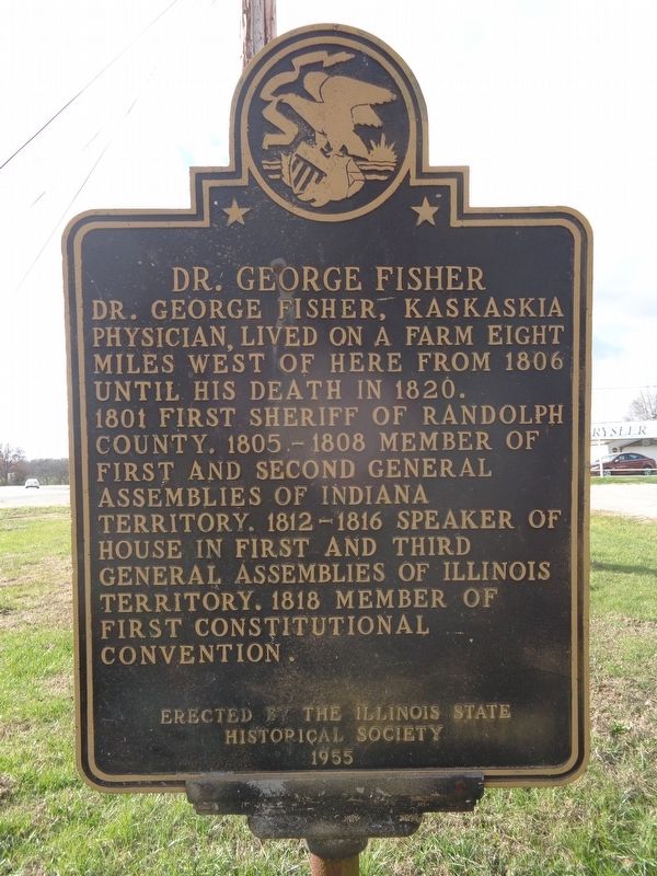
Dr. George Fisher
Erected 1955 by Illinois State Historical Society.
Topics and series. This historical marker is listed in this topic list: Science & Medicine. In addition, it is included in the Illinois State Historical Society series list.
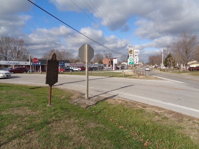
Location. 38° 7.9′ N, 89° 59.875′ W. Marker is in Ruma, Illinois, in Randolph County. Marker is at the intersection of Main Street (Illinois Route 3) and Illinois Route 155, on the right when traveling south on Main Street. Touch for map. Marker is at or near this postal address: 1 St Leos Rd, Red Bud IL 62278, United States of America. Touch for directions.
Other nearby markers. At least 8 other markers are within 7 miles of this marker, measured as the crow flies. North County Area Veterans Memorial (approx. 5.6 miles away); M44 (approx. 5.6 miles away); Modoc Rock Shelter (approx. 6 miles away); a different marker also named Modoc Rock Shelter (approx. 6 miles away); a different marker also named Modoc Rock Shelter (approx. 6 miles away); 1818 - Changes in Government Local and State (approx. 6.3 miles away); 1743 - Common Ground Established in Prairie du Rocher (approx. 6.3 miles away); 1765 - Living under British Rule (approx. 6.3 miles away).
Also see . . . George Fisher on Wikipedia. Fisher settled in Kaskaskia Territory in 1798, and practiced medicine. His birth year and where he was originally raised is unknown. (Submitted on November 30, 2020, by Jason Voigt of Glen Carbon, Illinois.)
Credits. This page was last revised on November 30, 2020. It was originally submitted on November 30, 2020, by Jason Voigt of Glen Carbon, Illinois. This page has been viewed 151 times since then and 10 times this year. Photos: 1, 2. submitted on November 30, 2020, by Jason Voigt of Glen Carbon, Illinois.

