Near Prairie du Rocher in Randolph County, Illinois — The American Midwest (Great Lakes)
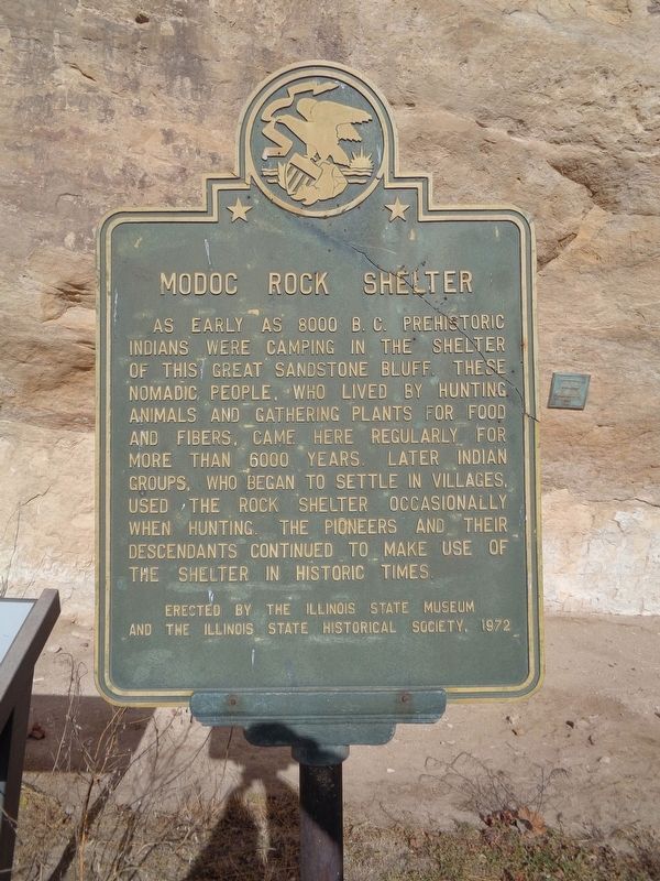
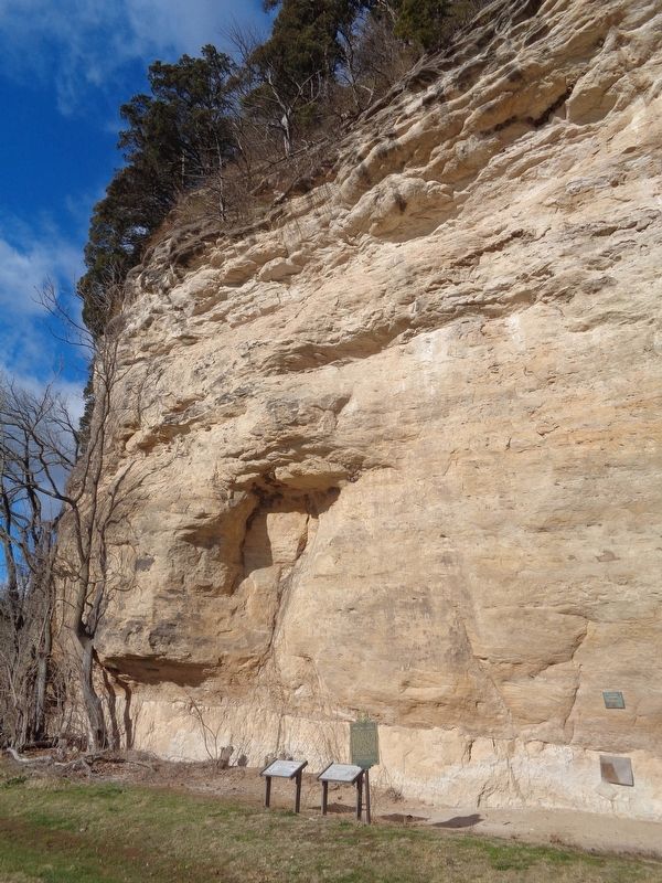
Modoc Rock Shelter
Erected 1972 by Illinois State Museum and the Illinois State Historical Society.
Topics and series. This historical marker is listed in these topic lists: Native Americans • Settlements & Settlers. In addition, it is included in the Illinois State Historical Society series list.
Location. 38° 3.763′ N, 90° 3.841′ W. Marker is near Prairie du Rocher, Illinois, in Randolph County. Marker is on Bluff Road (County Route 7) east of Roscow Hollow Road, on the right when traveling north. Touch for map. Marker is at or near this postal address: 6908 Bluff Rd, Prairie du Rocher IL 62277, United States of America. Touch for directions.
Other nearby markers. At least 8 other markers are within 3 miles of this marker, measured as the crow flies. A different marker also named Modoc Rock Shelter (here, next to this marker); a different marker also named Modoc Rock Shelter (here, next to this marker); St. Joseph Catholic Church (approx. 2 miles away); The Conner House (approx. 2.3 miles away); Conner-Hauck House (approx. 2.4 miles away); The Creole House (approx. 2.4 miles away); 2022 - 300 Years Of Tradition (approx. 2.4 miles away); State Bank of Prairie Du Rocher (approx. 2.4 miles away). Touch for a list and map of all markers in Prairie du Rocher.
Also see . . . Modoc Rock Shelter on Wikipedia. The site, which was named to the National Historic Landmarks in 1961, was discovered in 1951 by amateur archaeologist Irvin Peithmann. (Submitted on November 30, 2020, by Jason Voigt of Glen Carbon, Illinois.)
Credits. This page was last revised on November 30, 2020. It was originally submitted on November 30, 2020, by Jason Voigt of Glen Carbon, Illinois. This page has been viewed 209 times since then and 17 times this year. Photos: 1, 2. submitted on November 30, 2020, by Jason Voigt of Glen Carbon, Illinois.

