Near State Park Place in Madison County, Illinois — The American Midwest (Great Lakes)
Monks Mound - South Ramp
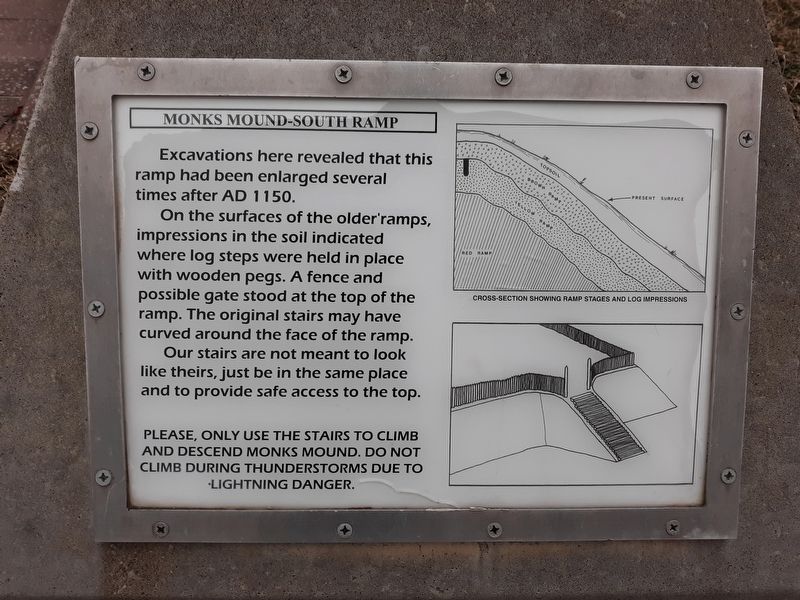
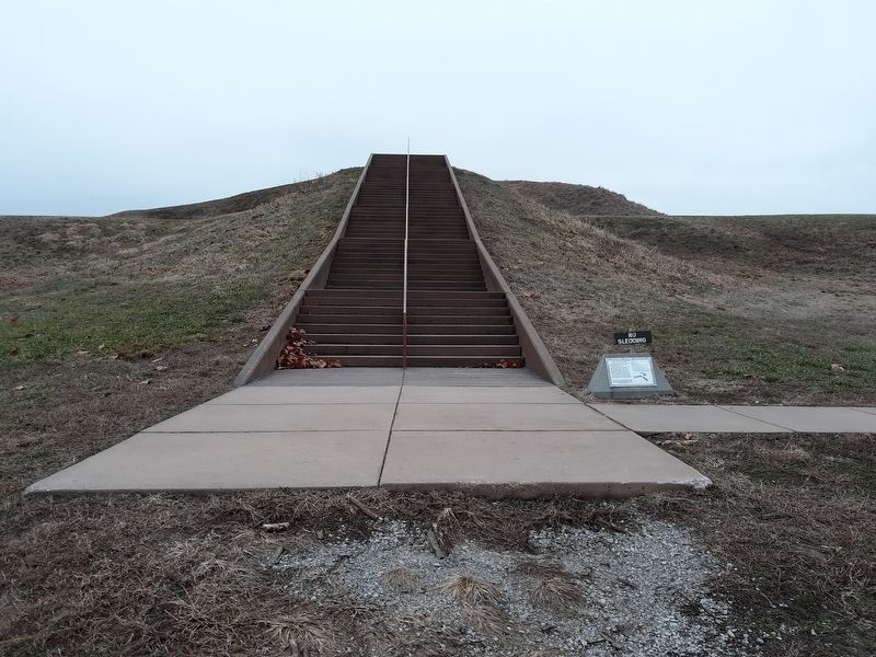
Excavations here revealed that this ramp had been enlarged several times after AD 1150.
On the surfaces of the older ramps, impressions in the soil indicated where log steps were held in place with wooden pegs. A fence and possible gate stood at the top of the ramp. The original stairs may have curved around the face of the ramp.
Our stairs are not meant to look like theirs, just be in the same place and to provide safe access to the top.
Topics. This historical marker is listed in these topic lists: Anthropology & Archaeology • Native Americans.
Location. 38° 39.533′ N, 90° 3.733′ W. Marker is near State Park Place, Illinois, in Madison County. Marker is on Monks Mound Trail, 0.1 miles west of Collins Lane, on the right when traveling west. Touch for map. Marker is at or near this postal address: 7749 Collinsville Rd, Collinsville IL 62234, United States of America. Touch for directions.
Other nearby markers. At least 8 other markers are within walking distance of this marker. Monks Mound (about 300 feet away, measured in a direct line); Monks Mound - Southwest Corner (about 500 feet away); Monks Mound - 4th Terrace (about 600 feet away); The Stockade Path (approx. 0.2 miles away); Mound 51 (approx. 0.2 miles away); Cahokia (approx. 0.2 miles away); Mound 50 (approx. 0.2 miles away); Stockade (approx. 0.2 miles away). Touch for a list and map of all markers in State Park Place.
Regarding Monks Mound - South Ramp.
[Safety note on the marker:]
Please, only use the stairs to climb and descend Monks Mound. Do not climb during thunderstorms due to lighting danger.
Credits. This page was last revised on December 1, 2020. It was originally submitted on December 1, 2020, by Craig Doda of Napoleon, Ohio. This page has been viewed 118 times since then and 11 times this year. Photos: 1, 2, 3, 4. submitted on December 1, 2020, by Craig Doda of Napoleon, Ohio. • Devry Becker Jones was the editor who published this page.


