Near Chester in Liberty County, Montana — The American West (Mountains)
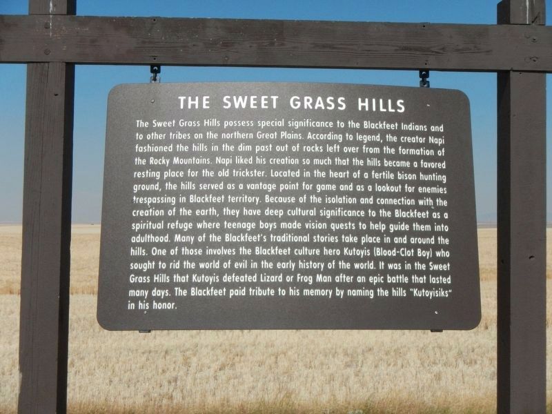
The Sweet Grass Hills
The Sweet Grass Hills posses special significance to the Blackfeet Indians and to other tribes on the northern Great Plains. According to legend, the creator Napi fashioned the hills in the dim past out of rocks left over from the formation of the Rocky Mountains. Napi liked his creation so much that the hills became a favored resting place for the old trickster. Located in the heart of a fertile bison hunting ground, the hills served as a vantage point for game and as a lookout for enemies trespassing in Blackfeet territory. Because of the isolation and connection with the creation of the earth, they have deep cultural significance to the Blackfeet as a spiritual refuge where teenage boys made vision quests to help guide them into adulthood. Many of the Blackfeet's traditional stories take place in and around the hills. One of those involves the Blackfeet culture hero Kutoyis (Blood-Clot Boy) who sought to rid the world of evil in the early history of the world. It was in the Sweet Grass Hills that Kutoyis defeated Lizard or Frog Man after an epic battle that lasted many days. The Blackfeet paid tribute to his memory by naming the hills "Kutoyisiks" in his honor.
Erected by Montana Department of Transportation.
Topics. This historical marker is listed in these topic lists: Native Americans • Natural Features.
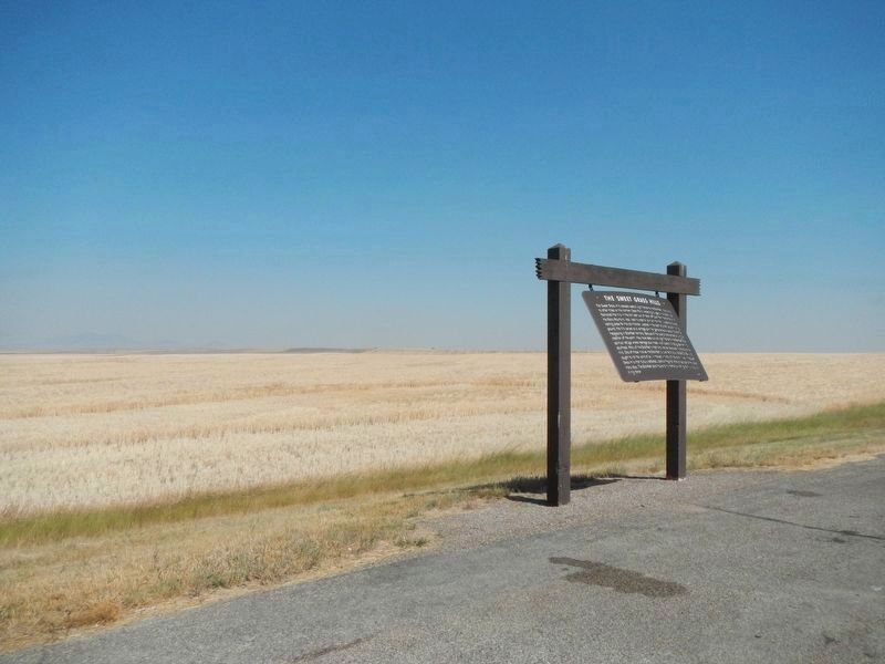
Location. 48° 32.597′ N, 110° 51.535′ W. Marker is near Chester, Montana, in Liberty County. Marker is on U.S. 2 at milepost 329 near Black Coulee Road when traveling east. Touch for map. Marker is in this post office area: Chester MT 59522, United States of America. Touch for directions.
Other nearby markers. At least 2 other markers are within 6 miles of this marker, measured as the crow flies. A Pleistocene Wonderland (approx. 5.1 miles away); First State Bank of Chester (approx. 5.3 miles away).
Also see . . . Sweet Grass Hills. Wikipedia entry (Submitted on April 13, 2022, by Larry Gertner of New York, New York.)
Credits. This page was last revised on April 13, 2022. It was originally submitted on December 1, 2020, by Barry Swackhamer of Brentwood, California. This page has been viewed 573 times since then and 71 times this year. Photos: 1, 2. submitted on December 1, 2020, by Barry Swackhamer of Brentwood, California.

